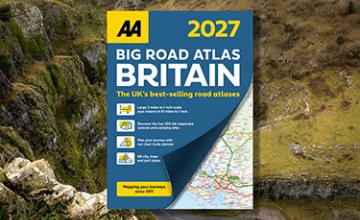
AA Road Atlas Ireland
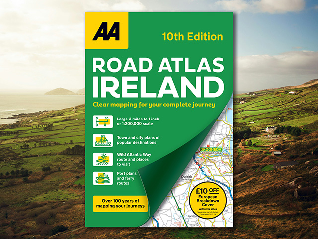
Ireland’s clearest mapping
The fully updated, new 10th edition of the AA Road Atlas Ireland showcases clear mapping at a 3 miles to 1 inch scale from the experts at the AA. The atlas includes viewpoints, picnic sites, port plans and ferry routes. Plus, motorway strip maps detailing all of Ireland’s motorway junctions.
10 detailed city and town plans with street indexes of Belfast, Cork, Londonderry, Dublin, Galway, Killarney, Kilkenny, Limerick, Sligo and Waterford are included, along with a place name index. The atlas also includes top tourist sites, airports and service areas. Irish language areas are shown on the main mapping with place names in both English and Irish. District maps of Dublin and Belfast show the surrounding area in more detail and a clear route planner map is included for journey planning across the country.
ISBN: 978-0-7495-8423-8 (PB)
Publication date: 12 September 2024
Pages: 104pp
Dimensions: 297 x 210mm (Paperback)