Additional information
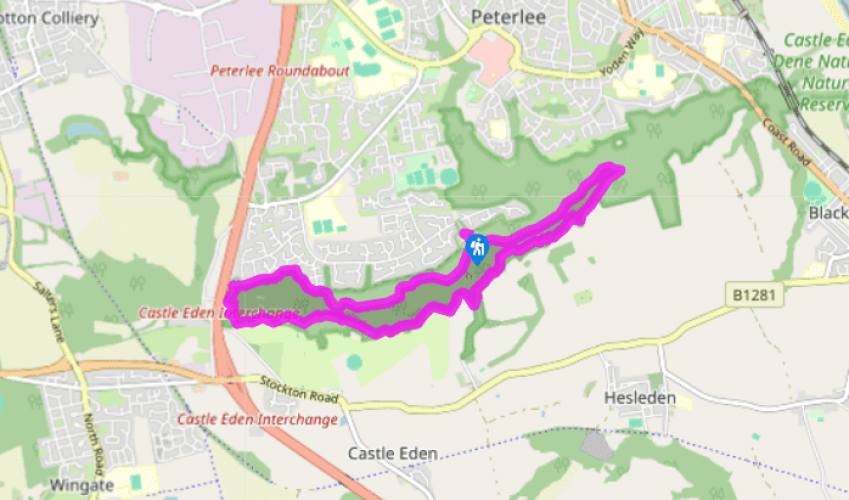
Terrain
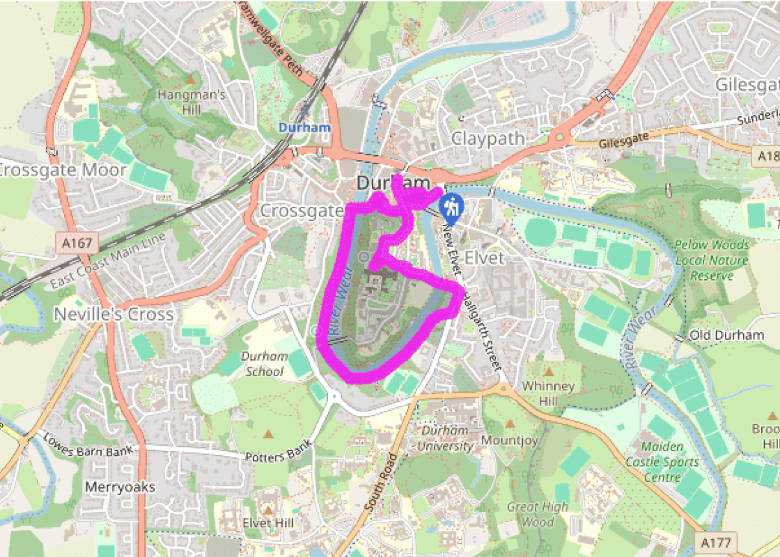
- City paths and riverside tracks, no stiles
Landscape
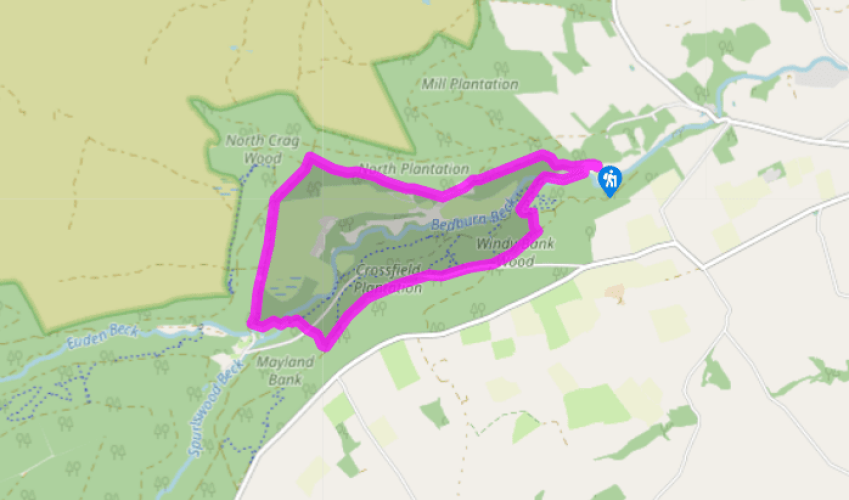
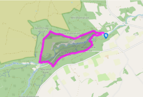
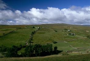
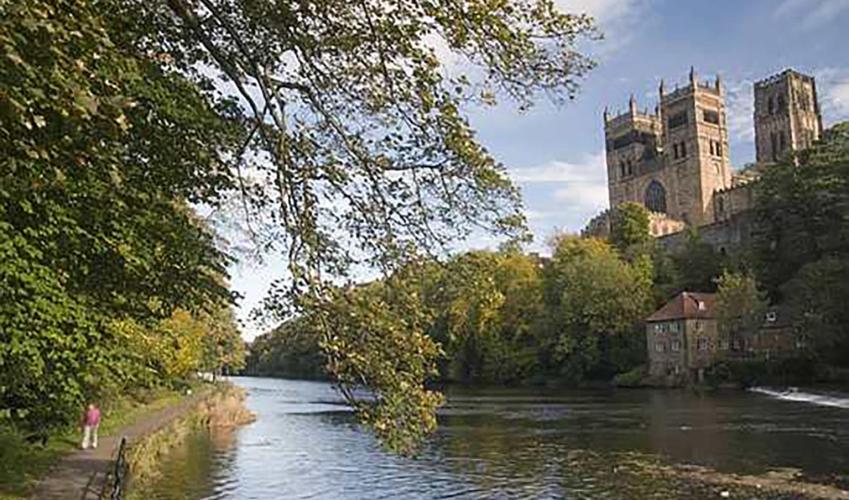
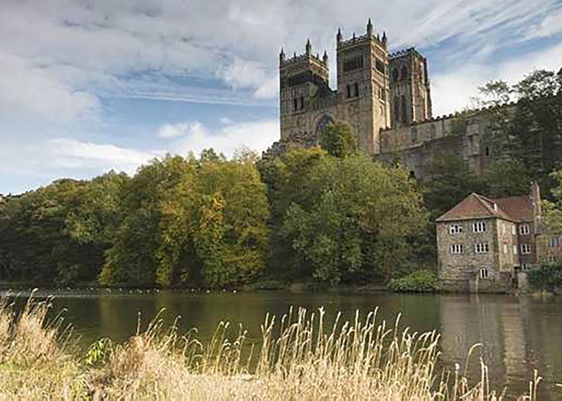
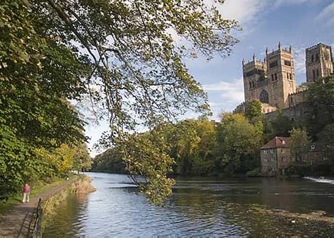
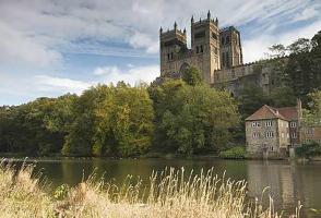
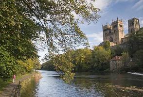
- City centre overlooking a deep, horseshoe river gorge
Dog friendliness
- On lead and not allowed in buildings
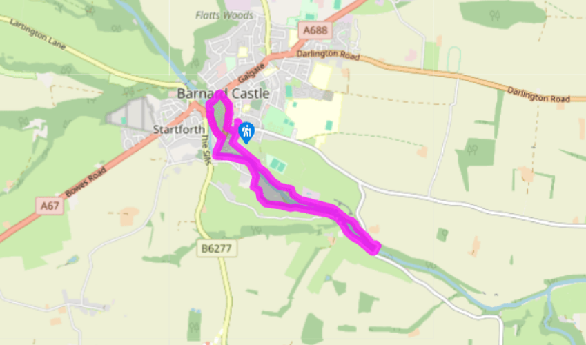
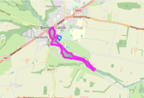
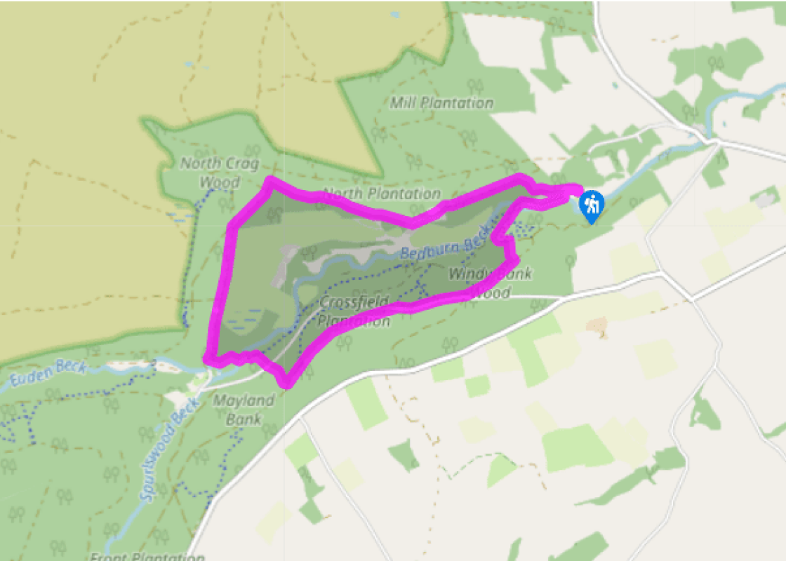
Parking
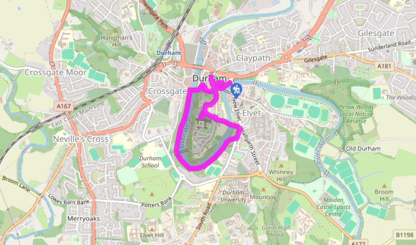
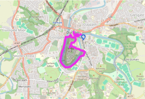
- Prince Bishop car park, off Leazes Road, A690
Toilets en route
- At car park
About the walk
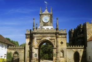
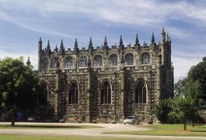
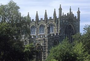
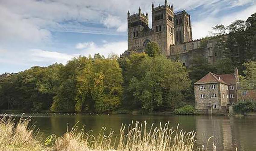
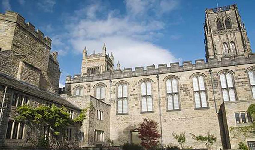
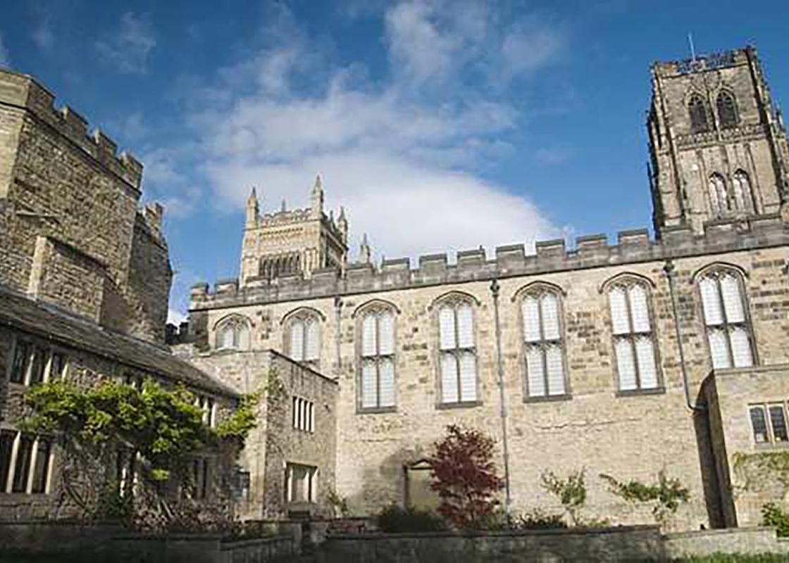
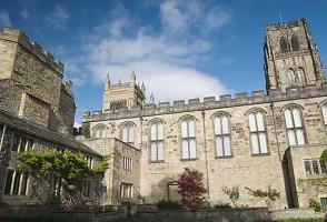
Surrounded on three sides by a dramatic hairpin bend of the River Wear, Durham's location has been a settlement site for over 4,000 years. Recorded history, however, begins in AD 995 with the arrival of monks, originally from Lindisfarne, bringing with them the body St Cuthbert. Forced to flee the... island 120 years earlier in the face of Viking raids, they had first settled in Chester-le-Street. But the Vikings came again, and the community moved once more to find security on this island promontory. The very name Durham derives from Old English and Norse, dun holme meaning hill island. Founded on a legend Legend has it that, having left Chester-le-Street, the monks wandered east to Warden Law, beyond which the bier containing the saint's body could not be moved. Cuthbert appeared in a vision, telling them to go to Dun Holme, a place unknown to the monks until they met two milkmaids, searching for a dun cow they had last seen there. With them as guide, the monks discovered they could now move the bier and reaching the spot, they erected a small wooden shrine to house the relic. A carving on the south wall of the cathedral depicts the legend, and one of the city's oldest streets is called Dun Cow Lane. A place of pilgrimage It became a place of pilgrimage, and larger buildings – first in wood and then stone, both known as the White Church – soon replaced the simple shrine. The arrival of the Normans saw the start of a grand new cathedral, begun in 1093 but not completed until the 13th century with the construction of the towers. Nevertheless, it is a magnificent example of Romanesque architecture and, with the nearby castle is now designated a World Heritage Site. It contains both the shrine of St Cuthbert and the tomb of the Venerable Bede, who among his many translations and writings produced the Historia ecclesiastica gentis Anglorum – The Ecclesiastical History of the English People. The adjacent Benedictine priory was founded in 1083, and although it was dissolved by Henry VIII in 1539, the cloister and dormitory still convey something of the life led by the monks. There is a dark side to its history, for after the Battle of Dunbar in 1650, Cromwell held nearly 3,000 of the Scottish Army here as prisoners. Deprived of water, food and heat, over half died and were buried in mass graves before the rest were shipped to America as slaves. A bishop's castle The castle was founded in 1078 and was the seat of the Bishops of Durham, who in addition to their ecclesiastical responsibilities, held the power of the king in keeping order over this once unruly land. It continued as the Bishop's Palace until the seat was transferred to Auckland Castle in 1832. The castle was subsequently given to Durham University when it was founded five years later and now accommodates students, the library, common rooms and part of the university administration. However, certain parts are open to the public on guided tours. The Medieval Town The old town below is a wonderful maze of narrow streets, connected to the outside world by elegant bridges across the River Wear. This short walking tour takes you past the principal sights, but don't forget also to wander into the Market Square, presided over by statues of Neptune, a symbol of the city's aspirations to become a sea port, and the Marquess of Londonderry, who owned many of the collieries in the area. Pop into the town hall to learn about the Polish-born Count Boruwlaski, and have a look too inside the Victorian market hall, which is full of traders selling local produce.
Read more