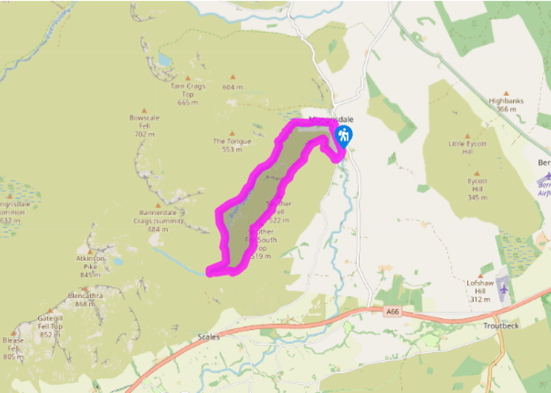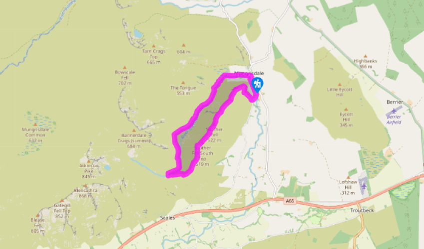
Glenderamackin and Souther Fell
Recommended by

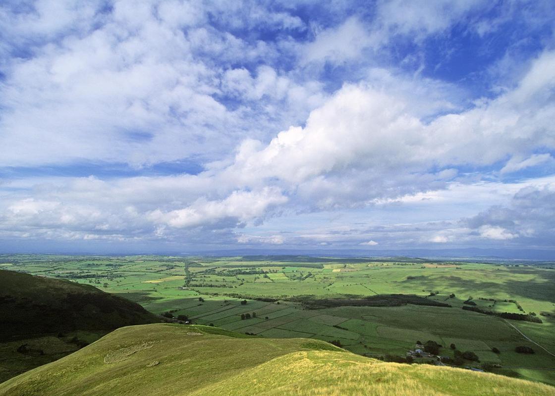
"Rolling grassy fells offer quiet solitude and an air of intrigue."
Walk directions
With your back to the parking area, turn left along the road, following the River Glenderamackin upstream. After passing a lane to the Mill Inn on the left, go left, past a red telephone kiosk, to follow a little lane between the cottages. Continue along the rough track above the north bank of the river. Follow the footpath as it bends away from the river and passes through a boggy area on a path of slate slabs before returning to cross Bullfell Beck on a footbridge.
A few paces beyond Bullfell Beck, as the main track starts to climb steeply, bear left along a lesser path that traces a route along the west bank of the Glenderamackin. The going is straightforward, although the path has been eroded in places and there is a steep drop down to the little river. Continue along the track, boggy in places, to ford Bannerdale Beck. Continue above a fenced area of tree-planting and round the shoulder of Bannerdale Crags, intriguingly named White Horse Bent by the Ordnance Survey. Continue the ascent until a narrow trail drops left to a footbridge to cross the River Glenderamackin, which is hardly 6ft (2m) wide at this point.
View all directions
Additional information
Terrain
- Grassy and stony paths, open fellside
Landscape
- Remote river valley, open exposed fellside
Dog friendliness
- Under control at all times; whole area grazed by sheep
Parking
- Car park opposite village hall (with honesty box)
Toilets en route
- None on route
About the walk
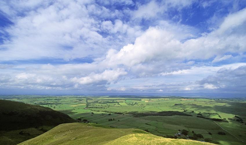
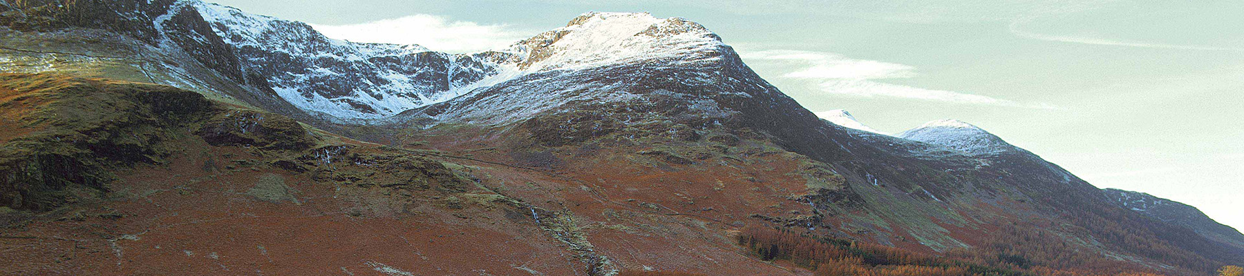
With an air of the theatrical, the little River Glenderamackin weaves a circuitous course around Souther (pronounced sue-ter) Fell, passing through, on its meanderings, the little hamlet of Mungrisdale (pronounced mun-grizedale). Whereas the central Lakeland fells are composed of hard volcanic...
Read more

Been on this walk?
Send us photos or a comment about this route. Or recommend a route of your own.

Walking in Safety
Read our tips to look after yourself and the environment when following this walk.

Get an AA guide
Explore our range of ‘50 Walks in’ guides - they’re the ideal companion for a ramble.
Been on this walk?
Send us photos or a comment about this route. Or recommend a route of your own.
Walking in Safety
Read our tips to look after yourself and the environment when following this walk.
Get an AA guide
Explore our range of ‘50 Walks in’ guides - they’re the ideal companion for a ramble.
About the area
Cumbria's rugged yet beautiful landscape is best known for the Lake District National Park that sits within its boundaries. It’s famous for Lake Windermere, England’s largest lake, and Derwent Water, ‘Queen of the English Lakes', but other lesser-known areas in the south, such as the Lune Valley and the coastal towns, are secret gems of wide cobbled streets and rolling hills.
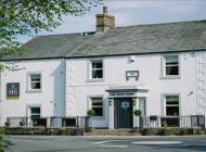
Nearby places to stay
View all (8)


Nearby places to stay
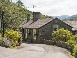
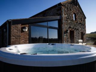
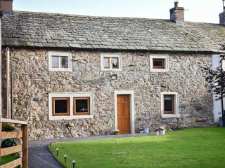
Cragside Cottage
Cragside Cottage is part of a former traditional Lakeland hill farm (Greenah Crag), nestling in the lee of a rocky outcrop from which it takes its name. Overlooked by the peaks of Helve...
Cragside Cottage
Cragside Cottage is part of a former traditional Lakeland hill farm (Greenah Crag), nestling in the lee of a rocky outcrop from which it takes its name. Overlooked by the peaks of Helve...
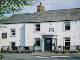
Scales Farm Country Guest House
On Blencathra’s southern slopes, 17th-century Scales Farm enjoys spectacular views, especially of Clough Head opposite, that prompted the owners to buy the house. Scales Fell behind can...
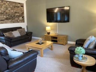
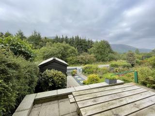
Sheepfold Barn
Traditional features and contemporary touches complement one another in the lovely four-bedroom Sheepfield Barn at Motherby, a great location for walking around Keswick, Ullswater and B...
Sheepfold Barn
If you're seeking a spectacular family holiday home for some quality time, look no further than Sheepfold Barn! Here contemporary furnishings and high spec appliances are complimented b...
Mellfell View Cottage
Mellfell View Cottage is a beautiful 17th century stone-built cottage with stunning views and character features. It has been renovated to a high standard and is located in an elevated ...
Mellfell View Cottage
Mellfell View Cottage is a beautiful 17th century stone-built cottage with stunning views and character features. It has been renovated to a high standard and is located in an elevated ...
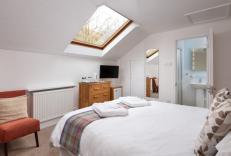
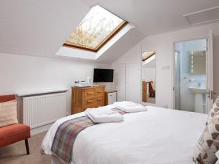
Glenderamackin Cottage
Glenderamackin Cottage is located in the most spectacular location, with stunning views of Blencathra from the large living room window. A stylish and well-equipped property bursting wi...
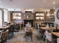
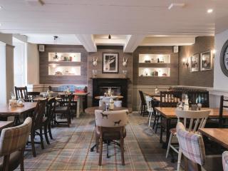
Places to eat nearby View all