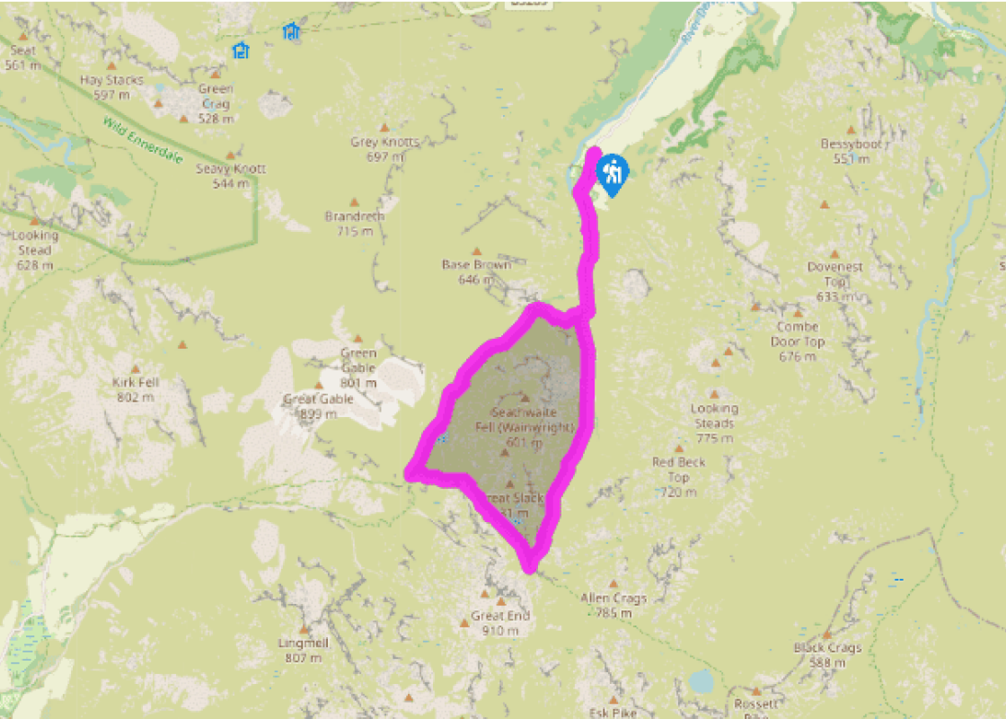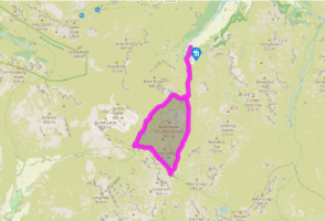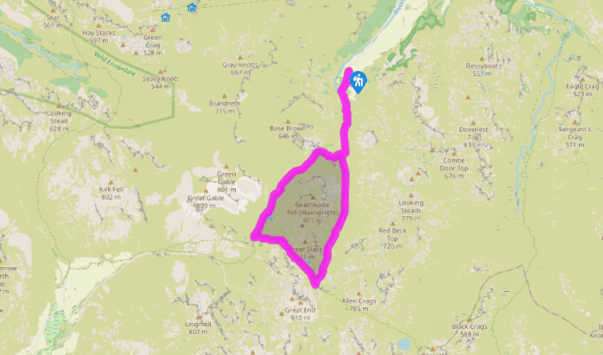
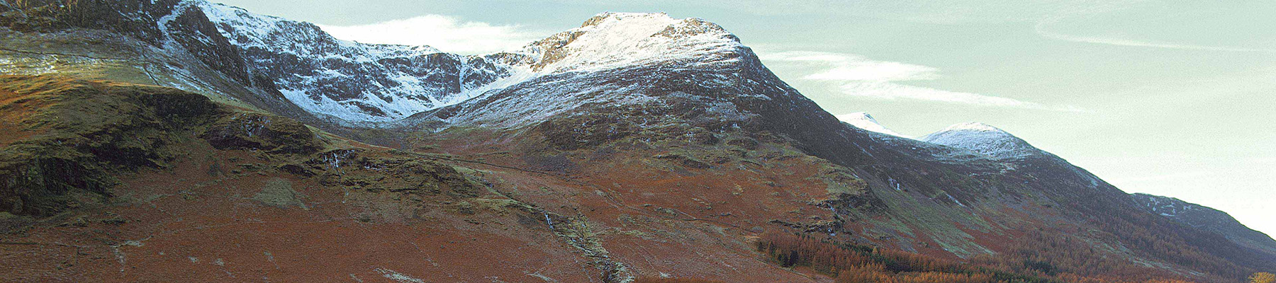
Along the Styhead Pass from Seathwaite
Recommended by

"From Seathwaite to the high mountain pass of Sty Head."
Walk directions
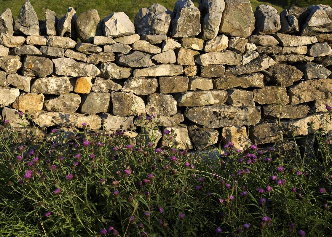
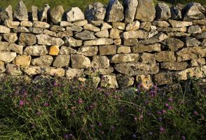
Pass through the cobbled farmyard and continue along the rough stony track up the valley. A few rises and dips among steep mounds (glacial moraines) lead to the ancient stone arch of Stockley Bridge, which spans Grains Gill. Cross the bridge, go through a gate and follow the track (in places reconstructed with pitched stone) up the hillside to a second gate.
Above the wall the way bears right, ascending to skirt the edge of the woods above the ravine of Taylorgill Force. A fence protects the edge and, although the great waterfall is hidden below, it is usually possible to hear its roar. Beyond this point the track follows a line just above the beck to reveal a series of little tumbling falls, rock slides and pools. Gradually the gradient eases off.
View all directions
Additional information
Terrain
- Stony paths and tracks; care needed on descent
Landscape
- Rugged and mountainous, with two high tarns
Dog friendliness
- Good for fit, active dogs; under strict control near sheep
Parking
- By roadside below farm
Toilets en route
- At Seathwaite Farm
About the walk
Seathwaite has long been a gateway to the high fells of Lakeland, including Glaramara, Great Gable, and the highest of them all, Scafell Pike. Routes from here also lead to the valleys of Wasdale and Great Langdale. This walk is a great introduction to the delights and fascination of the high...
Read more

Been on this walk?
Send us photos or a comment about this route. Or recommend a route of your own.

Walking in Safety
Read our tips to look after yourself and the environment when following this walk.

Get an AA guide
Explore our range of ‘50 Walks in’ guides - they’re the ideal companion for a ramble.
Been on this walk?
Send us photos or a comment about this route. Or recommend a route of your own.
Walking in Safety
Read our tips to look after yourself and the environment when following this walk.
Get an AA guide
Explore our range of ‘50 Walks in’ guides - they’re the ideal companion for a ramble.
About the area
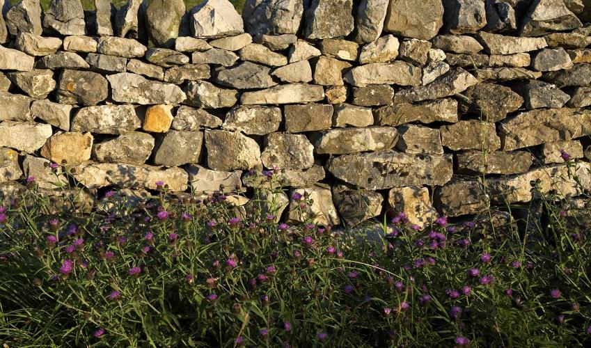
Cumbria's rugged yet beautiful landscape is best known for the Lake District National Park that sits within its boundaries. It’s famous for Lake Windermere, England’s largest lake, and Derwent Water, ‘Queen of the English Lakes', but other lesser-known areas in the south, such as the Lune Valley and the coastal towns, are secret gems of wide cobbled streets and rolling hills.
Nearby places to stay
View all (8)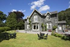


Nearby places to stay
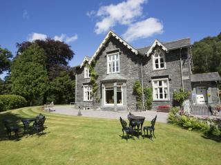
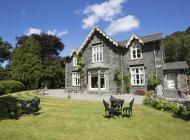
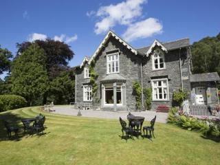
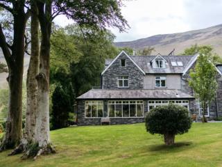
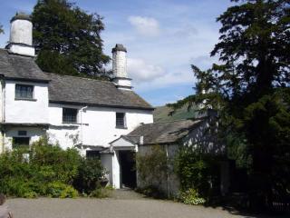
Hazel Bank Country House
Set in an elevated position surrounded by four acres of gardens and woodland, Hazel Bank Country House enjoys wonderful views of Borrowdale. The approach to this grand Victorian house i...
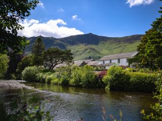
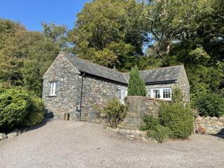
Grange Bridge Cottage
Grange Bridge Cottage occupies one of the most iconic settings within the Lake District National Park. It is situated at the entrance to the picturesque village of Grange in Borrowdale....
Grange Bridge Cottage
A tastefully upgraded 17th-century former logger’s dwelling, Grange Bridge Cottage occupies a beautiful position in the village of Grange overlooking the Derwent River. There is an equi...
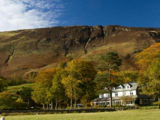
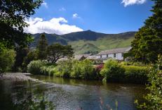
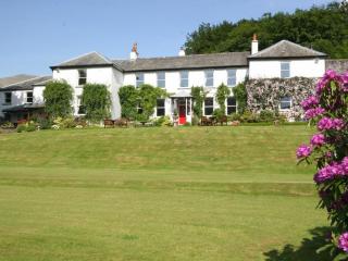
Borrowdale Gates Hotel
Close to the village, Borrowdale Gates Hotel is in the peaceful Borrowdale Valley, in its own three-acre wooded grounds. Great for access to some of the Lakes best hiking, cycling and o...
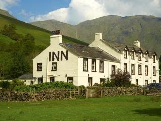
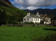
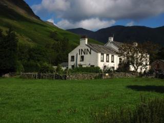
Wasdale Head Inn
Wasdale Head is known as the birthplace of British climbing for good reason. The setting of this popular inn is breathtaking, surrounded by the fells with the brooding Wast Water close ...
Brandlehowe
On the edge of Derwentwater and with woodland and the Catbells right behind, Brandelhowe is a lovely four-bedroom property in a wonderful setting for a Lakeland holiday, with plenty of ...
Dale Head Hall Lakeside Hotel
The historic lakeside residence of Dale Head Hall dates from the 16th century and is set in attractive private grounds on the shores of Lake Thirlmere. This is a family-owned hotel and ...
Deer Close Cottage
Awaiting description....
Places to eat nearby View all