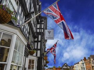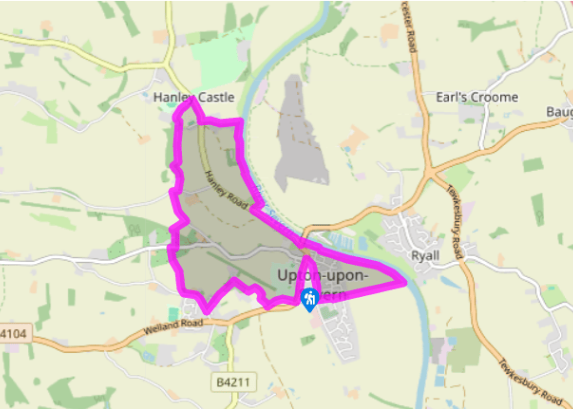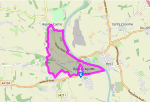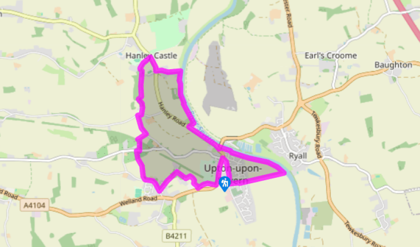
Around Upton upon Severn
Begin opposite the Church of St Peter and St Paul, built in 1878–9 in a neo-Gothic style. Head away from Upton, along the A4104, and in 100yds (91m) turn right onto the old road, following the edge of the sports fields. Ignore the first signposted footpath and just before rejoining the A4104, turn right up a private road. At the bend near the Upton Surgery take stiles on the right. Near the field end go left, over a stile, ascending through a plantation. At a sunken lane turn left, to reach houses and a street.
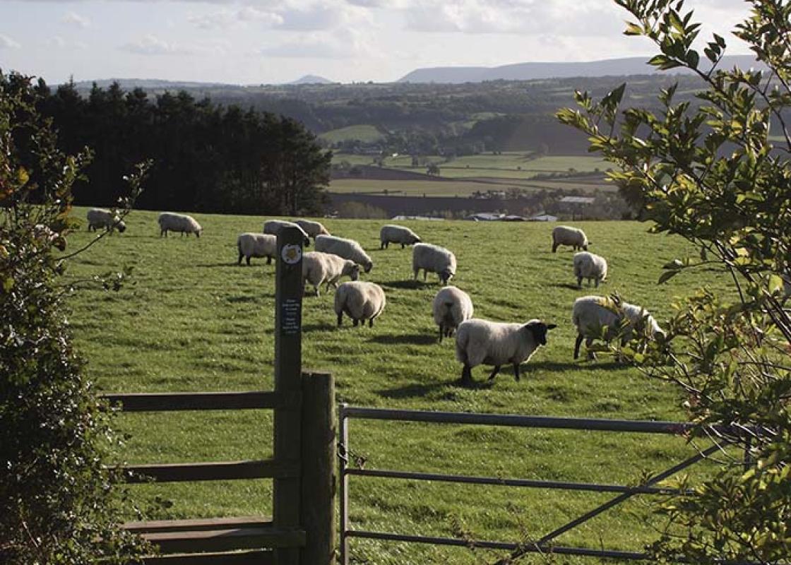
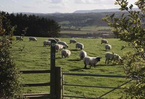
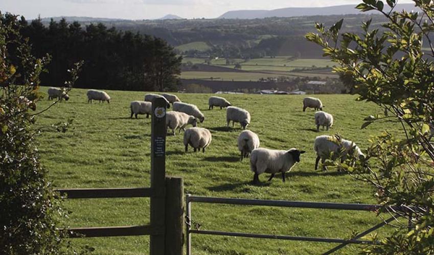
Walk beside a playing field, then turn right, passing a children’s play area. Take the second public footpath on the right, signposted ‘Hanley Castle’, along a field and straight through an orchard. Cross a road, going down another orchard row, admiring the Conference pears and Czar plums of Clive’s Fruit Farm. At the end move left to cross the old railway by wooden steps, noting the original iron and concrete stiles. Cross through the gateway on the left to contour upwards to the steps on the other side of the cutting. From the far side, follow a sunken lane to a road and turn left. At a junction, turn right, soon taking a gravel driveway left between two bridges. Go right of the house to a stile beyond its sheds. Pass a hazel coppice on the right. A stand of huge conifers marks the site where Hanley Castle once stood.

Been on this walk?
Send us photos or a comment about this route. Or recommend a route of your own.

Walking in Safety
Read our tips to look after yourself and the environment when following this walk.

Get an AA guide
Explore our range of ‘50 Walks in’ guides - they’re the ideal companion for a ramble.
Been on this walk?
Send us photos or a comment about this route. Or recommend a route of your own.
Walking in Safety
Read our tips to look after yourself and the environment when following this walk.
Get an AA guide
Explore our range of ‘50 Walks in’ guides - they’re the ideal companion for a ramble.
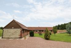
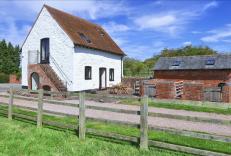
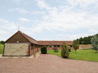
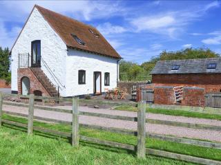
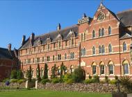
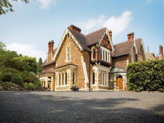
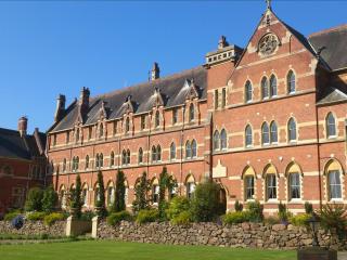
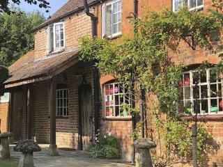
Nearby places to stay
View all (8)