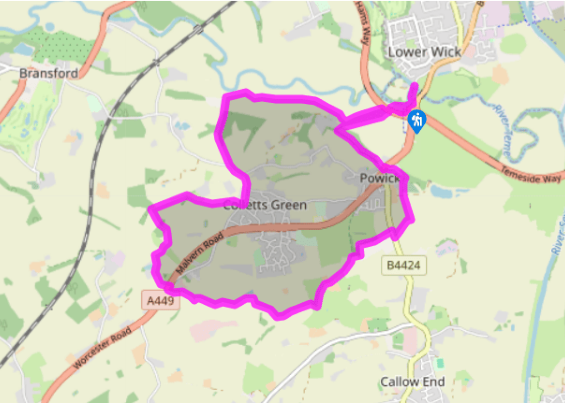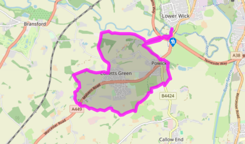
Around Powick Bridge
Walk 30yds (27m) towards the chimney. From the car park walk upstream, beside the River Teme. After just 200yds (183m), leave the river to go under the bypass. Aim towards a large white house (Ham Hill) but in the far corner of this meadow move right, beside huge trees perhaps standing in water. Roughly follow the river, keeping to the left of it, for over 0.5 miles (800m) passing over a steep wooden footbridge. Pass a solitary oak, mid-field, to locate a stile (with dog hatch) and hand-painted marker beyond.
Follow the right-hand field-edge, then turn left along the same field, in front of a large metal gate with waymarkers. At the top corner, a stile gives into Lord’s Wood, to follow a discernible woodlander’s lane. After 300yds (274m), stiles zigzag out of Lord’s Wood. Pass a solitary house, then turn left onto the public road. Fork right 30yds (27m) beyond the signs ‘Powick’ and ‘30’. A few paces past The Three Nuns pub take the track on the right.

Been on this walk?
Send us photos or a comment about this route. Or recommend a route of your own.

Walking in Safety
Read our tips to look after yourself and the environment when following this walk.

Get an AA guide
Explore our range of ‘50 Walks in’ guides - they’re the ideal companion for a ramble.
Been on this walk?
Send us photos or a comment about this route. Or recommend a route of your own.
Walking in Safety
Read our tips to look after yourself and the environment when following this walk.
Get an AA guide
Explore our range of ‘50 Walks in’ guides - they’re the ideal companion for a ramble.
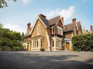
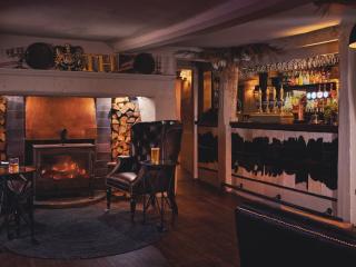
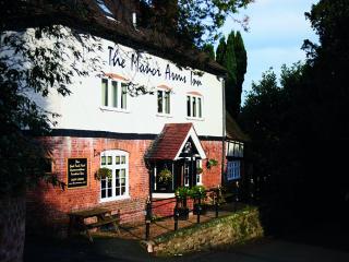
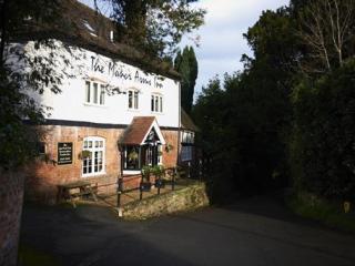
Nearby places to stay
View all (8)