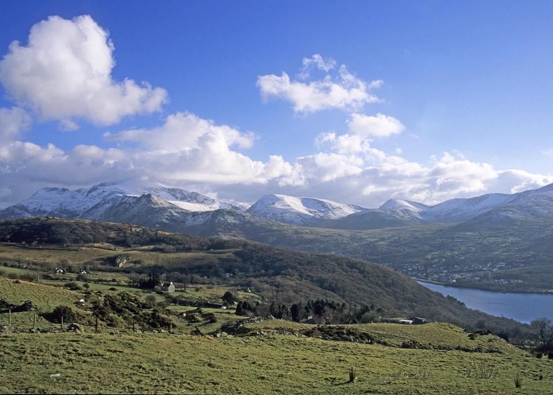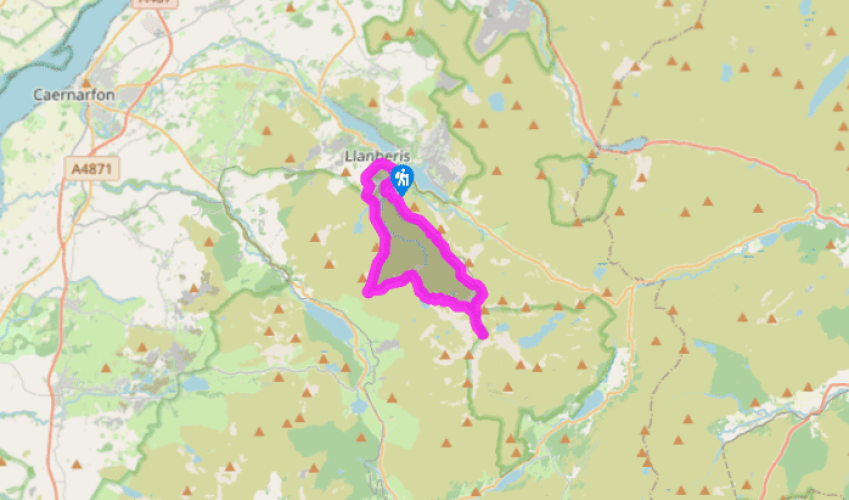
Snowdon from Llanberis
Recommended by

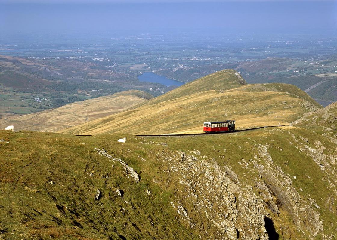
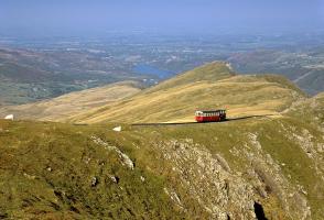
"Resist taking the train and enjoy this hard walk up Snowdon"
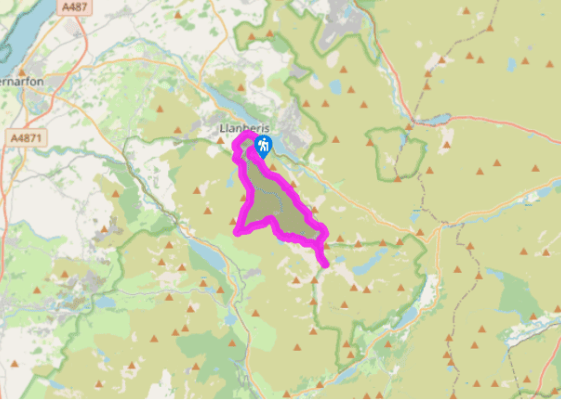
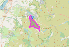
Walk directions
From the end of the High Street (Stryd Fawr) walk northwest before turning left up Capel Coch Road. Go straight ahead at a junction and keep following the road past the youth hostel and camping fields. The road winds and climbs towards Braich y Foel, the northeast spur of Moel Eilio.
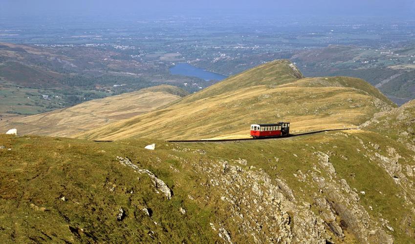
Where the tarmac ends just above Hafod Uchaf, continue along the track, which swings left (southeast) into the wild cwm (cirque) of the Afon Arddu. On the other side of the cwm you’ll see the trains of the Snowdon Mountain Railway, puffing up and down the line. Pass through two gates and skirt round Foel Goch.
View all directions
Additional information
Terrain
- Well-defined paths and tracks, several stiles
Landscape
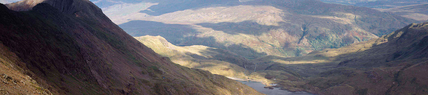
- High mountain cwms and tarns
Dog friendliness
- Sheep, trains and crags – best on lead throughout
Parking
- Several pay car parks throughout Llanberis, including one at Electric Mountain
Toilets en route
- Llanberis and at Summit Visitor Centre (seasonal)
About the walk
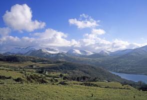
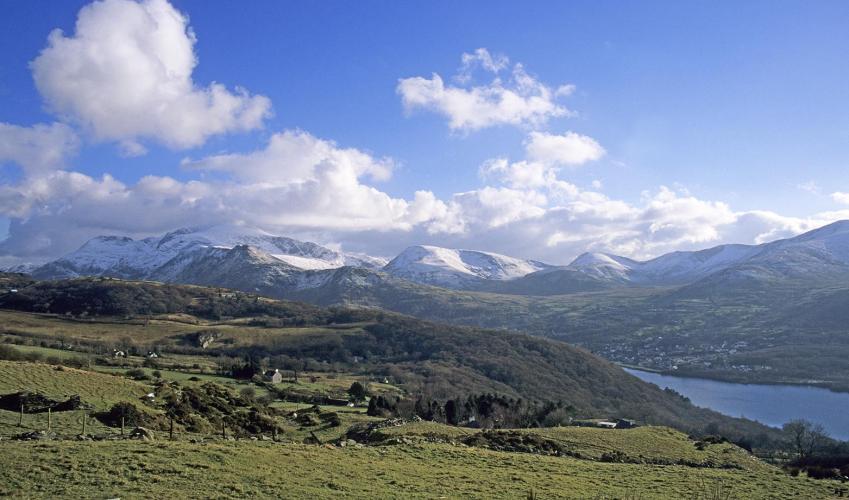
Llanberis is a slate town – you can see that by looking across Llyn Padarn to the purple-grey terraces built into the mountainside. However it’s easy to look the other way, to where Snowdon reigns supreme in the skies. In Victorian times the interest in mountains was in its infancy. Being Wales’...
Read more

Been on this walk?
Send us photos or a comment about this route. Or recommend a route of your own.

Walking in Safety
Read our tips to look after yourself and the environment when following this walk.

Get an AA guide
Explore our range of ‘50 Walks in’ guides - they’re the ideal companion for a ramble.
Been on this walk?
Send us photos or a comment about this route. Or recommend a route of your own.
Walking in Safety
Read our tips to look after yourself and the environment when following this walk.
Get an AA guide
Explore our range of ‘50 Walks in’ guides - they’re the ideal companion for a ramble.
About the area
The county of Gwynedd is home to most of the Snowdonia National Park – including the wettest spot in Britain, an arête running up to Snowdon’s summit that receives an average annual rainfall of 4,473mm. With its mighty peaks, rivers and strong Welsh heritage (it has the highest proportion of Welsh-speakers in all of Wales), it’s always been an extremely popular place to visit and live.
Nearby places to stay
View all (8)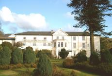


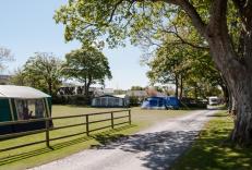
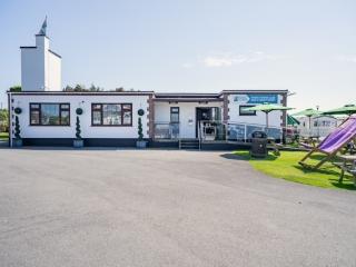
Caravan & Camping
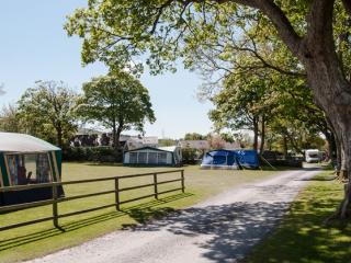
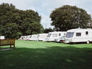
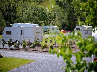
Llys Derwen Caravan & Camping Site

- Launderette
- Ice pack facility
- BBQ
- Battery Charging

Nearby places to stay
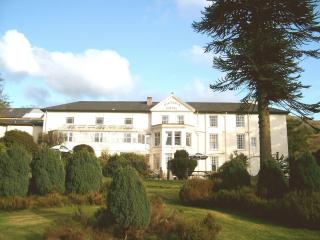
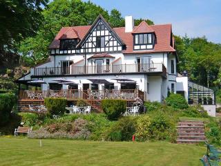
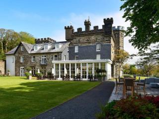
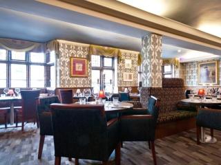
The Royal Victoria Hotel Snowdonia
The Royal Victoria Hotel Snowdonia is a well-established hotel near the foot of Snowdon, between the Peris and Padarn lakes. The mountains and extensive grounds make an attractive backd...
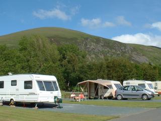
Llys Derwen Caravan & Camping Site
Enjoy the adventure of a lifetime in Snowdonia North Wales. Nestled in the scenic embrace of Mount Snowdon (Yr Wyddfa), the award winning Llys Derwen Caravan & Campsite Snowdon is an id...
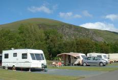
Bryn Gloch Caravan & Camping Park
Set beside the River Gwyrfai, Bryn Gloch offers shepherd's huts, static caravans and touring pitches in the heart of beautiful Snowdonia (Eryri). The park offers the best of two worlds,...
Plas Gwyn Caravan & Camping Park
A secluded park in an ideal location for visiting the glorious nearby beaches, historic Caernarfon, the attractions of Snowdonia and for walking opportunities. The site is set within th...
Riverside Camping
Set in the grounds of a former garden centre and enjoying a superb location along the River Seiont, Riverside Camping is approached by an impressive tree-lined drive. Immaculately maint...
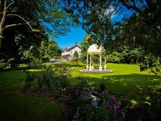
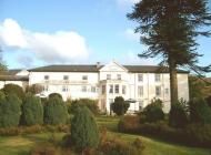
Plas Dinas Country House
Plas Dinas Country House nestles between the Snowdonia mountains and the Irish Sea. It's an idyllic setting with stunning views. Located in beautiful grounds, this delightful Grade-II l...
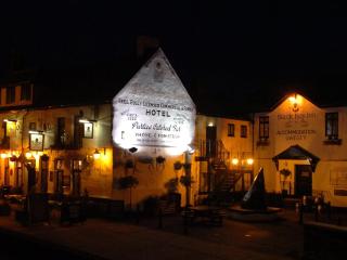
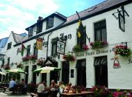
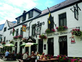
Black Boy Inn
Located within Caernarfon's historic town walls, Black Boy Inn, a fine 16th-century inn, has low ceilings, narrow staircases and thick wooden beams originally from old ships. It is one ...
White Tower Holiday Park
There are lovely views of Snowdonia from this park that is located just two miles from the beach at Dinas Dinlle. A very well maintained, quality amenity block provides good privacy opt...
Places to eat nearby View all