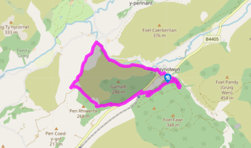
Abergynolwyn and the Talyllyn Railway
Recommended by

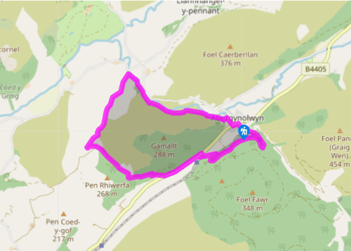
"Exploring the heights above Abergynolwyn and a stroll alongside the lovely Talyllyn Railway"
Walk directions
Leave the car park and turn left, just before the river turn right and take an unpaved road on the right straight after a children’s play area and continue to an iron footbridge crossing the stream on your left. Follow a path up to a house and bear right.
A clear path follows the Afon Dysynni across the lower slopes of Gamallt. At an unmarked fork, take the path bearing downhill to the right and along the banks of the river. Continue to a farm (Rhiwlas), where the path joins an enclosed track.
View all directions
Additional information
Terrain
- Sketchy field paths, tracks and well-marked woodland trails
Landscape
- Pastured hills, valleys, spruce forest
Dog friendliness
- Can run free in Dyfi Forest, otherwise should be on a lead at all times
Parking
- Free car park by Community Centre in Abergynolwyn
Toilets en route
- Inside Community Centre
About the walk
It was the Bryn Eglwys slate quarry that was responsible for the growth of Abergynolwyn in the mid-19th century. During peak output in the 1870s, the quarry employed almost 300 people, most of whom were housed – together with their families – in the solid terraced cottages still dominating the...
Read more

Been on this walk?
Send us photos or a comment about this route. Or recommend a route of your own.

Walking in Safety
Read our tips to look after yourself and the environment when following this walk.

Get an AA guide
Explore our range of ‘50 Walks in’ guides - they’re the ideal companion for a ramble.
Been on this walk?
Send us photos or a comment about this route. Or recommend a route of your own.
Walking in Safety
Read our tips to look after yourself and the environment when following this walk.
Get an AA guide
Explore our range of ‘50 Walks in’ guides - they’re the ideal companion for a ramble.
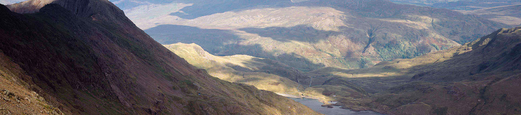
About the area
The county of Gwynedd is home to most of the Snowdonia National Park – including the wettest spot in Britain, an arête running up to Snowdon’s summit that receives an average annual rainfall of 4,473mm. With its mighty peaks, rivers and strong Welsh heritage (it has the highest proportion of Welsh-speakers in all of Wales), it’s always been an extremely popular place to visit and live.
Nearby places to stay
View all (8)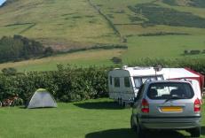
Caravan & Camping
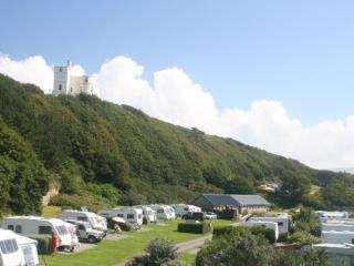
Ynysymaengwyn Caravan Park

- Launderette
- Ice pack facility
- Picnic Area
- Wifi available


Nearby places to stay
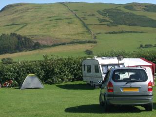
Ynysymaengwyn Caravan Park
A lovely park set in the wooded grounds of a former manor house, with designated nature trails through 13 acres of wildlife-rich woodland, scenic river walks, fishing and a sandy beach ...
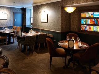
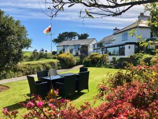
The Fanny Talbot
First impressions at the Fanny Talbot might suggest a mere seaside resort pub, but this recently launched dining venue offers fabulous interiors, plenty of comfort and a gastro dining r...
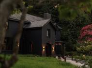
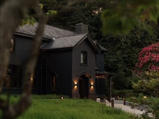
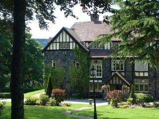
Ynyshir Restaurant and Rooms
Set in beautifully landscaped grounds and surrounded by the RSPB Ynys-hir Nature Reserve, Ynyshir was once owned by Queen Victoria and is surrounded by mountain scenery. Here the bucoli...
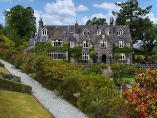
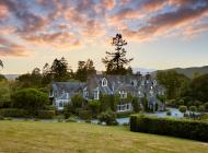
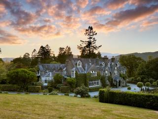
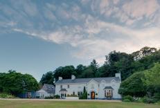
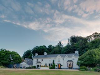
Penmaenuchaf Dolgellau
Set under the imposing Cadair Idris and overlooking the Mawddach estuary, Penmaenuchaf is a comfortable retreat enjoying peace, fantastic views and dark skies. The house has long been w...
Hendre Mynach Touring Caravan & Camping Park
A constantly improving site where the enthusiastic owners invest year on year to enhance the customer experience. Although there is a steep decent to the arrivals' area, staff are alway...

Seascape I & II
Wake up to the waves in luxury Self Catering properties. Seascape I & II at Trefeddian provide two luxury self catering properties built in the hotel grounds. These fantastic properties...
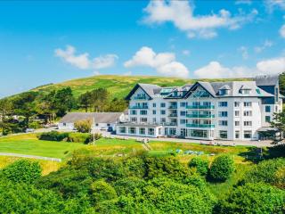
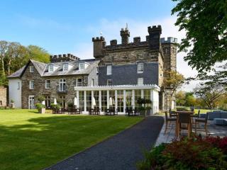
Trefeddian Hotel
Perfectly summed up by the quote from the hotel literature as being "where the mountains meet the the sea", Treffedian Hotel – AA Hotel of the Year, Wales 2018–19 – is in a beautiful co...

Dolgun Uchaf Bed & Breakfast
Dolgun Uchaf Bed & Breakfast is located in a peaceful area with stunning views of the surrounding countryside. This 500-year-old property was a rich history including a time as a Quaker...
Places to eat nearby View all