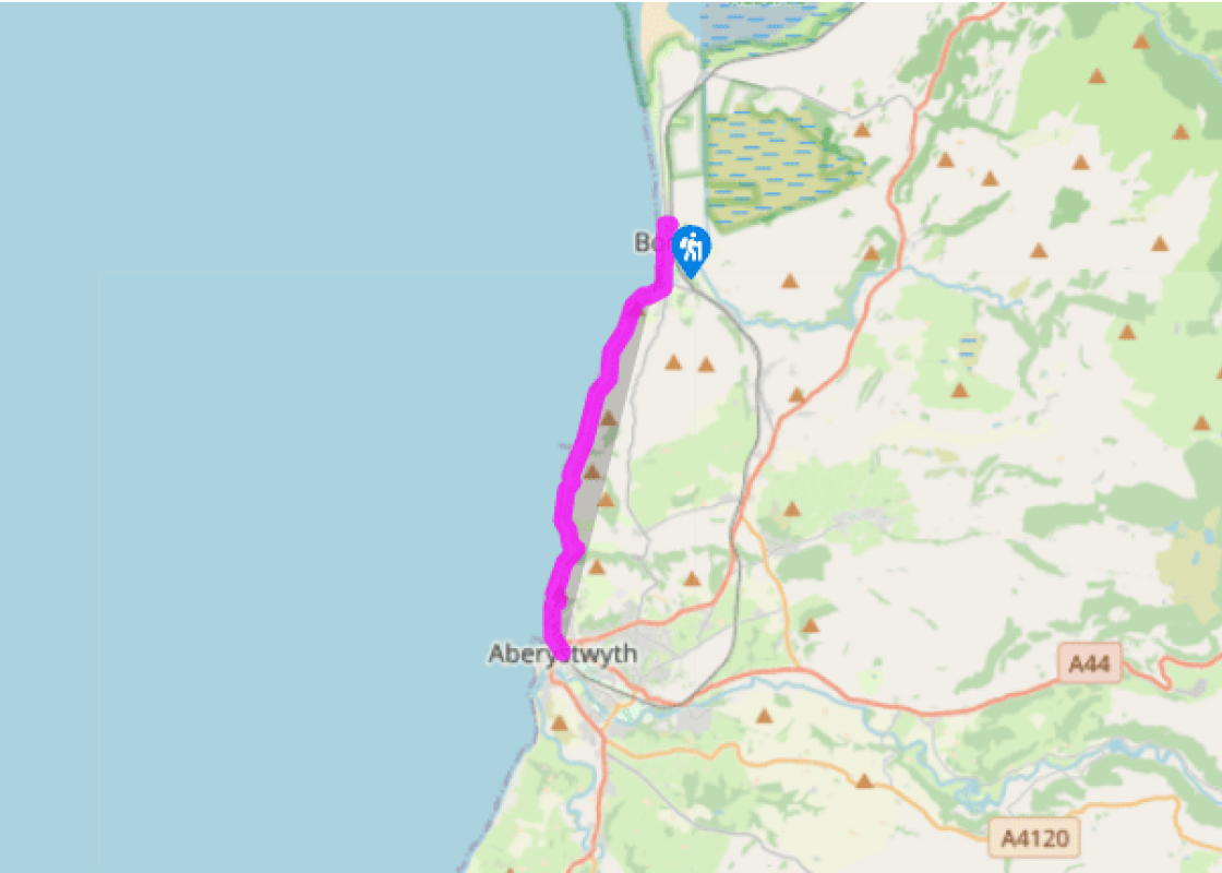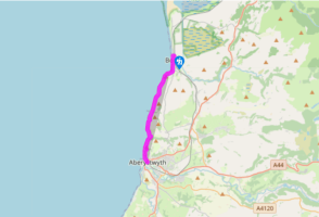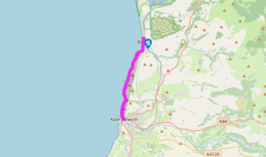
From Borth to Aberystwyth
Recommended by

Walk directions
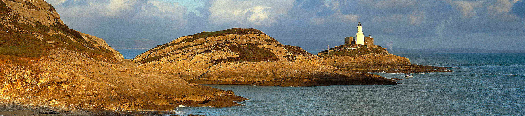
Turn left from the railway station and follow the main street (or grey shingle beach). Cross straight over the roundabout, then bear right for Cliff Road. Follow this to its end where the cliff path begins on the right, climbing past the war memorial. Looking back you can see Borth stretching out to the sands of the Dyfi Estuary, but the dominant feature of this view is Cors Fochno, the peat bogs.
Descend to a cove below a caravan park before climbing back to the top of the cliffs. Always to the left you’ll see lush fields, while to the right there is often a bird’s-eye view of the beach below. There’s another steep descent and re-ascent west of Brynbala farm, which lies at the foot of a rounded coastal hill of the same name. The path traverses a steep slope before coming to a little valley inhabited by a huge house, Wallog. Descend to cross the stream and pass the seaward front of the house, then continue along the coast path.
View all directions
Additional information
Terrain
- Good coast path eroded in places, several stiles
Landscape
- Sea cliffs and promenades
Dog friendliness
- Under close control on coast path
Parking
- On-street parking in Borth near station or in car park near Aberystwyth Station (pay)
Toilets en route
- At Aberystwyth car park or on the seafront at Borth
About the walk
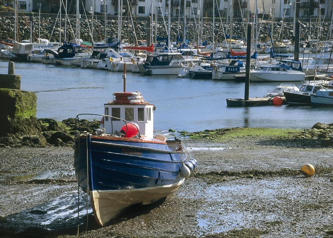
The Ceredigion Coast Path ambles and saunters along the stunning coastline of Ceredigion for over 60 miles (96km). The starting point at its southern end is the town of Cardigan, once the most important seaport in this part of Wales, and it ends a few miles north of Aberystwyth at the impressive...
Read more

Been on this walk?
Send us photos or a comment about this route. Or recommend a route of your own.

Walking in Safety
Read our tips to look after yourself and the environment when following this walk.

Get an AA guide
Explore our range of ‘50 Walks in’ guides - they’re the ideal companion for a ramble.
Been on this walk?
Send us photos or a comment about this route. Or recommend a route of your own.
Walking in Safety
Read our tips to look after yourself and the environment when following this walk.
Get an AA guide
Explore our range of ‘50 Walks in’ guides - they’re the ideal companion for a ramble.
About the area
The name ‘Ceredigion’ takes a bit of explanation. The town of Cardigan gives its name to the surrounding bay, but the county now uses the Welsh word for Cardiganshire – Ceredigion, pronounced with a ‘dig’.
Nearby places to stay
View all (8)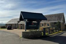


Nearby places to stay
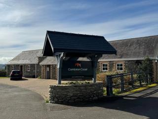
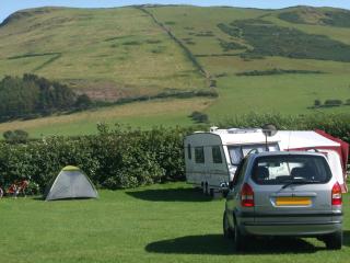
Cambrian Coast Caravan Park & Cottages
Nestled between the sweeping sands of Ynyslas Beach and the rolling Cambrian Mountains, Cambrian Coast Caravan Park is a picturesque, family-run escape close to Borth. The park offers a...
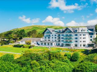
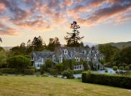
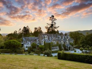
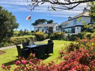
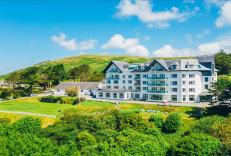
Trefeddian Hotel
Perfectly summed up by the quote from the hotel literature as being "where the mountains meet the the sea", Treffedian Hotel – AA Hotel of the Year, Wales 2018–19 – is in a beautiful co...
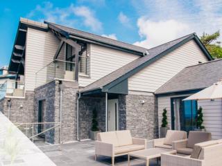
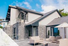
Seascape I & II
Wake up to the waves in luxury Self Catering properties. Seascape I & II at Trefeddian provide two luxury self catering properties built in the hotel grounds. These fantastic properties...
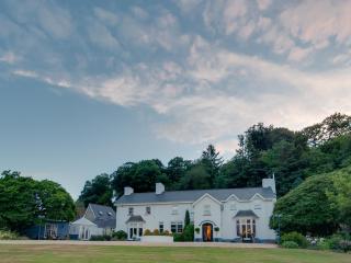
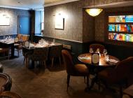
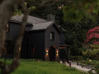
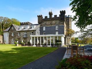
Ynyshir Restaurant and Rooms
Set in beautifully landscaped grounds and surrounded by the RSPB Ynys-hir Nature Reserve, Ynyshir was once owned by Queen Victoria and is surrounded by mountain scenery. Here the bucoli...
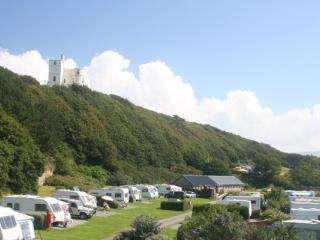
Ynysymaengwyn Caravan Park
A lovely park set in the wooded grounds of a former manor house, with designated nature trails through 13 acres of wildlife-rich woodland, scenic river walks, fishing and a sandy beach ...
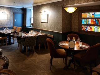
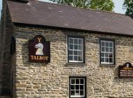
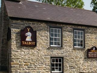
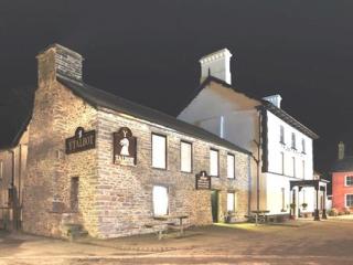
The Fanny Talbot
First impressions at the Fanny Talbot might suggest a mere seaside resort pub, but this recently launched dining venue offers fabulous interiors, plenty of comfort and a gastro dining r...
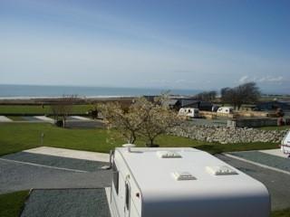
Hendre Mynach Touring Caravan & Camping Park
A constantly improving site where the enthusiastic owners invest year on year to enhance the customer experience. Although there is a steep decent to the arrivals' area, staff are alway...
Trawsdir Touring Caravans & Camping Park
Well run by the owners, this quality park enjoys spectacular views to the sea and hills, and is very accessible for motor traffic. The facilities are appointed to a very high standard, ...
Places to eat nearby View all