Bingley and the St Ives Estate
Recommended by

"Great views of Airedale from a viewpoint known as the Druid's Altar."
Walk directions
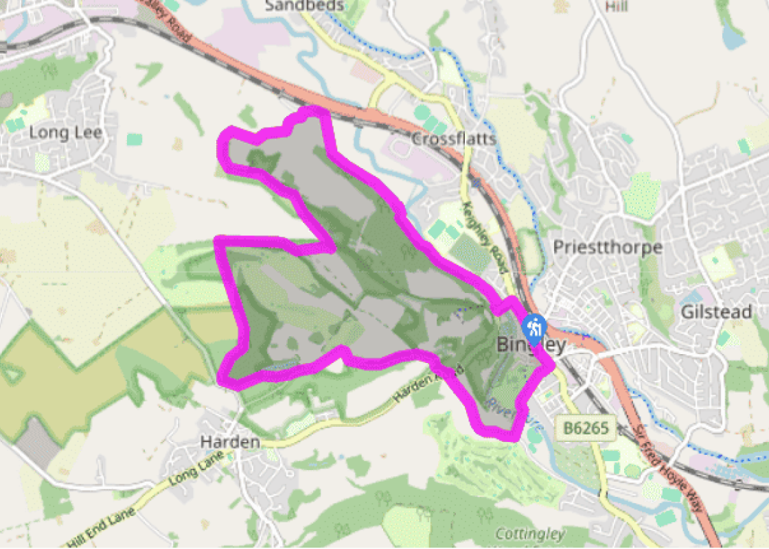
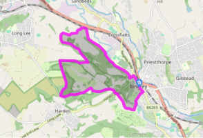
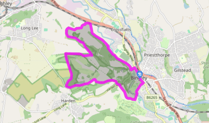
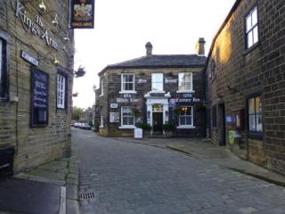
Walk northwest from the centre of Bingley towards the church. Go left at the traffic lights beside the Old White Horse pub into Millgate. Cross the River Aire and take the first right, Ireland Street. Swing immediately right again and then left along a riverside track, soon leaving the town behind. Reaching Ravenroyd Farm, bear right and pass between farm buildings to continue on a walled track to Cophurst. Pass left of the cottage and continue beside a wood at the edge of successive pastures.
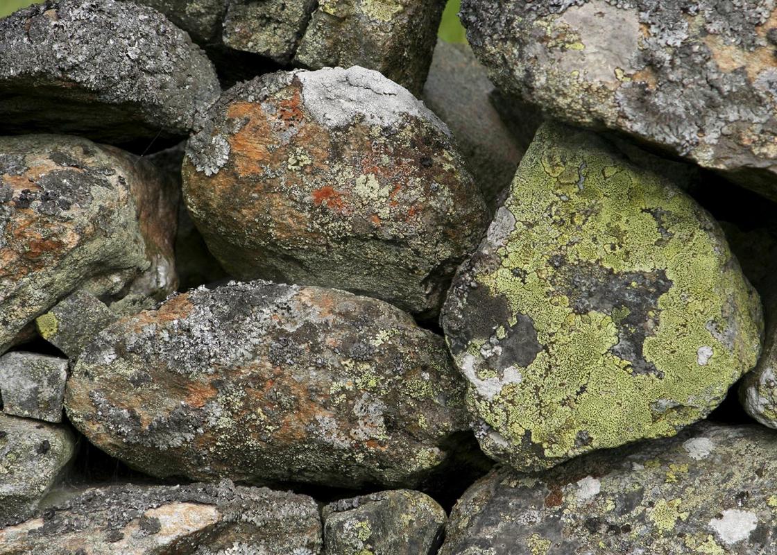
A developing track leaves the third pasture through a gap. Continue to a stile and gate and skirt a hillock, eventually leaving over a stile by Marley Farm. Follow the rough track up left, passing Marley Brow. Where the track subsequently swings into a farm, bear off right on a grass trail across a bracken and scrub slope, ultimately winding up to a small gate. A narrow path rises through more trees. Keep right and then left at successive forks, shortly joining a wall on the right bounding the top of the wood. Eventually, after crossing a broad track, the path leads to a rocky outcrop known as the Druid’s Altar, a striking viewpoint.
View all directions
Additional information
Terrain
- Good paths and tracks throughout, several stiles
Landscape
- Woodland, park and river
Dog friendliness
- Can be off lead on St Ives Estate
Parking
- Car parks in Bingley
Toilets en route
- In Myrtle Place by the park
About the walk
Sitting astride both the River Aire and the Leeds and Liverpool Canal, in a steep-sided valley, Bingley is a typical West Yorkshire town. With its locks, wharves and plethora of mills, the town grew in size and importance during the 19th century as the textile trades expanded. But Bingley’s...
Read more

Been on this walk?
Send us photos or a comment about this route. Or recommend a route of your own.

Walking in Safety
Read our tips to look after yourself and the environment when following this walk.

Get an AA guide
Explore our range of ‘50 Walks in’ guides - they’re the ideal companion for a ramble.
Been on this walk?
Send us photos or a comment about this route. Or recommend a route of your own.
Walking in Safety
Read our tips to look after yourself and the environment when following this walk.
Get an AA guide
Explore our range of ‘50 Walks in’ guides - they’re the ideal companion for a ramble.
About the area
Everybody knows that Yorkshire has some special landscapes. The Dales and the Moors first spring to mind, but what about West Yorkshire? That’s Leeds and Bradford isn’t it? Back-to-back houses and blackened mills… Certainly if you had stood on any of the hills surrounding Hebden Bridge a hundred years ago, and gazed down into the valley, all you would have seen was the pall of smoke issuing from the chimneys of 33 textile mills.

Nearby places to stay
View all (8)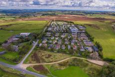


Nearby places to stay
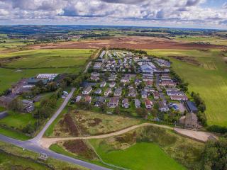
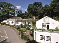
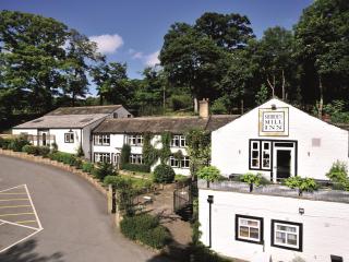
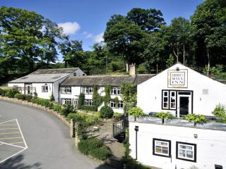
Upwood Holiday Park
With panoramas of the surrounding moors and the Aire Valley, Upwood Holiday Park’s accommodation portfolio even includes Mongolian yurts. In the clubhouse is the Upwood Inn, with pool t...
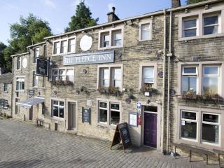
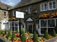
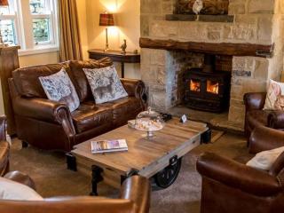
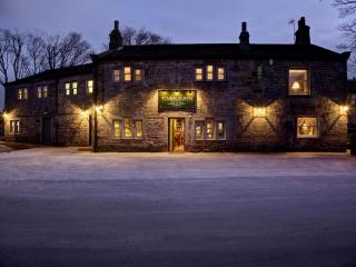
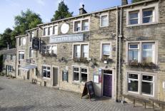
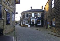
The Fleece Inn
Most tourists visit Haworth for the Brontë Sisters. Now a museum, The Parsonage, where they lived, is further up the cobbled hill from the cosy guest rooms of The Fleece Inn. Some visit...
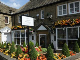
Old White Lion Hotel
Old White Lion Hotel is a 300-year-old coaching inn with 14 well-equipped en-suite rooms. Family-run, the hotel on Haworth’s cobbled main street is close to the Bronte Parsonage Museum ...
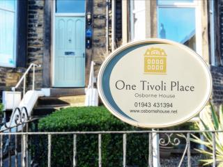
One Tivoli Place Guest House
One Tivoli Place is a charming Victorian townhouse that offers a welcoming base just a short stroll from Ilkley town centre and the surrounding Yorkshire countryside. The 5 individually...
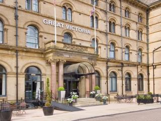
The Great Victoria Hotel
The Great Victoria Hotel was built in 1867 as a Railway Hotel. Centrally located opposite Bradford Interchange, this majestic hotel as been a focal point for Bradford ever since the Vic...
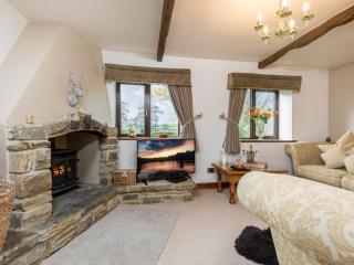
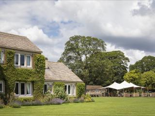
Higher Scholes Cottage
Higher Scoles Cottage is set in the heart of Brontë Country and commands stunning views of the romantic moors. This luxury cottage is the perfect place to find some peace and quiet, wit...
Higher Scholes Cottage
Higher Scoles Cottage is set in the heart of Brontë Country and commands stunning views of the romantic moors. This luxury cottage is the perfect place to find some peace and quiet, wit...
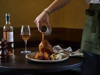
The Penny Bun
The Penny Bun is a new-age inn, part of Denton Reserve, a project which aims to rethink 2,500 acres of Yorkshire countryside while combating climate change. Inside, the style is very ea...
Places to eat nearby View all