Kinver's rock houses
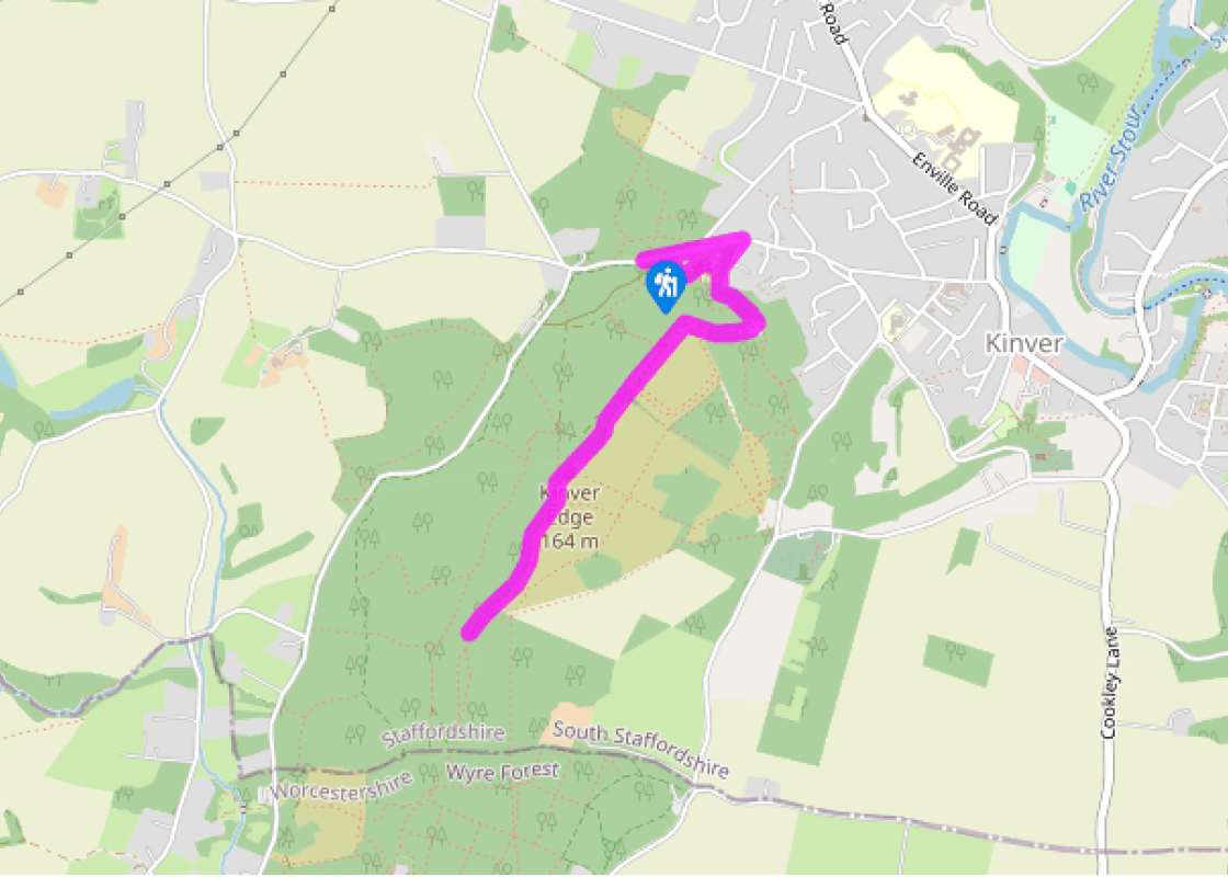
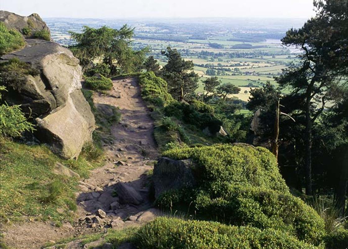
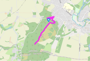
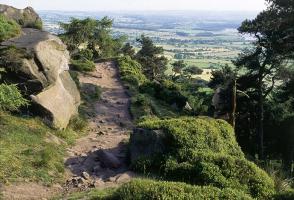
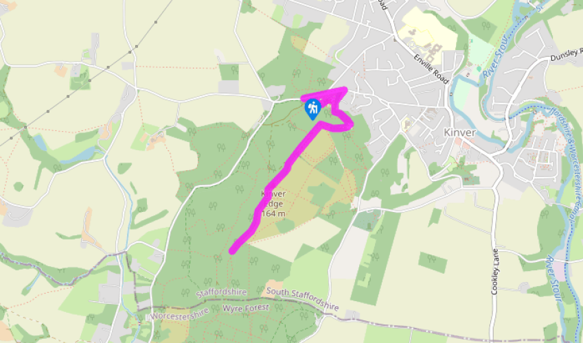
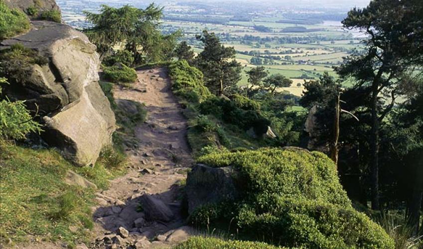
From the wide roadside car parking, head back along the road towards Kinver village. Just after going right at a fork in the road, follow public footpath signs to the right, up a short track into the woods. Once you’re in the woods proper, take the obvious path up left to a small clearing and then turn 90 degrees to the right to follow the short, steep path to the viewpoint above Kinver.
From the viewpoint, continue along the top of the escarpment, following a wide, gravel track running more or less along the uphill edge of the ancient rectangular earthworks to the left, with views across the Severn Valley glimpsed through trees to the right. From the corner of the earthworks, continue on the wide and well-walked track through intermittent woodland, with new and distant views opening up on either side. Carry on along the escarpment top, to pass the trig point.
Staying on the highest path, continue for 0.25 miles (400m), when the path enters woodland. In 60yds (55m), just after a path joins from the left, a steep path down to the right is marked ‘danger cliff edge’. Following this down for about 40yds (37m) would take you to Nanny’s Rock. The main route descends gradually to the gate at the National Trust boundary before a small clearing. Here a signpost for the Staffordshire Way (back towards you) and the North Worcestershire Path (ahead) marks the county boundary.
Continue along the escarpment. Keep to the main (higher) track and follow waymarkers for the North Worcestershire Path. The path turns down left around a small covered reservoir, then turns back up to the ridge crest. Turn left, down to the corner of an open field.
Turn right, past a barrier and a bench, to descend a fairly steep path. Where this path meets a wooden barrier and a more obvious sand track at right angles, head left, gently uphill. After 300yds (274m) you come to another path junction. Bear left onto the smallest, central path, following the yellow arrow. On reaching a sandy track go straight over, coming shortly to a steep hill. When you get to the top, cross a stile and continue along the field edge, with a fence to your left. In the far left corner of the field, go through a gate onto the road.
Turn right (marked No Through Road), passing Moat Court Farm on the right and, shortly after, Solcum Farm on the left, following a yellow arrow down a dark and heavily wooded track. As you descend, the steep bank to the right forms the remains of Iron Age earthworks. After a brick shed on the right, look up right to spot another group of cave houses, these ones far less developed than the ones at Holy Austin Rock. The earth path emerges onto a concrete track past the recently built, half-timbered Drakelow Grange. At the road junction beyond, continue straight on and take the first right at New House Farm. Carry on to where the surfaced road turns to the right.
Follow the tarmac track bearing left, in a few steps taking the right fork. At the end of the houses, when the track turns up, continue straight on to the right of a fence, following the yellow arrows with a stream on your right. A gate leads onto the tarmac lane below Kingsford Farm. Turn down right until it meets a bigger road. Go straight across and up a footpath just to the left, by a Forest Park sign. When this path meets a wide sandy bridleway, continue across, retracing your steps back to point 5 and then back to the start.
Been on this walk?
Send us photos or a comment about this route. Or recommend a route of your own.
Walking in Safety
Read our tips to look after yourself and the environment when following this walk.
Get an AA guide
Explore our range of ‘50 Walks in’ guides - they’re the ideal companion for a ramble.
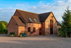
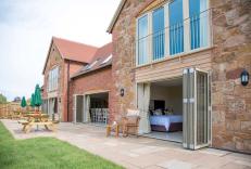
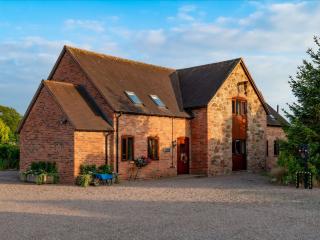
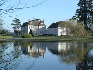
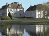
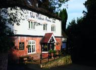
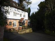
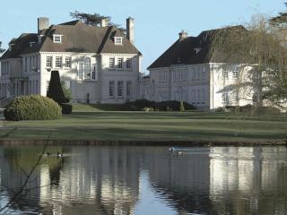
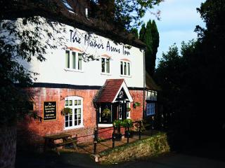
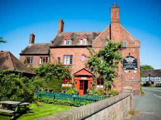
Nearby places to stay
View all (8)


