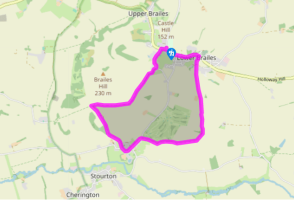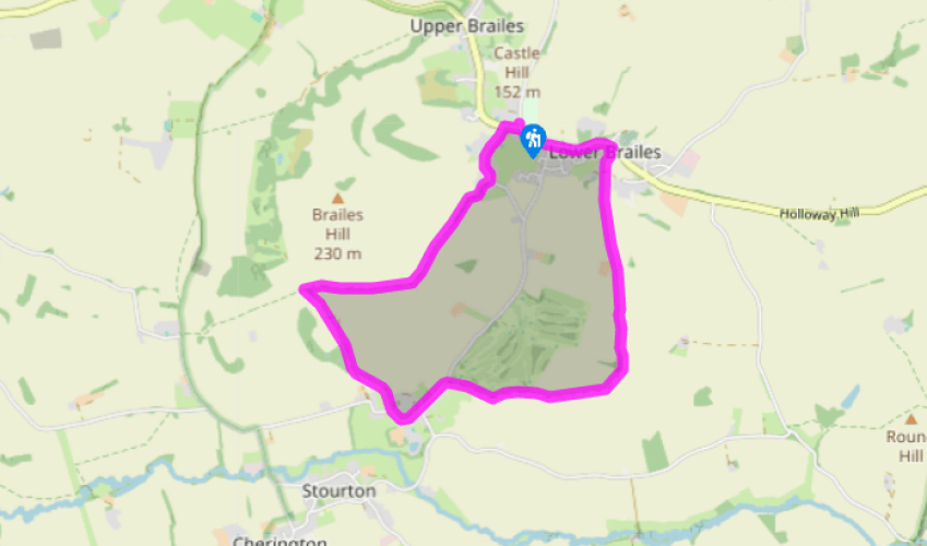
Lower Brailes and Sutton-under-Brailes
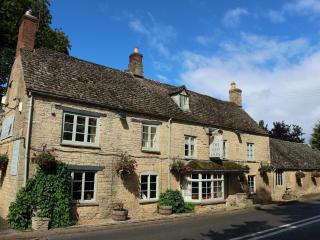
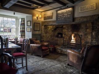
From the village hall in Lower Brailes, walk down to join the B4035. Turn left to stroll up through the beautiful village for about 0.5 miles (800m), passing The George Hotel, which has always been popular with local ramblers and now houses the village post office.
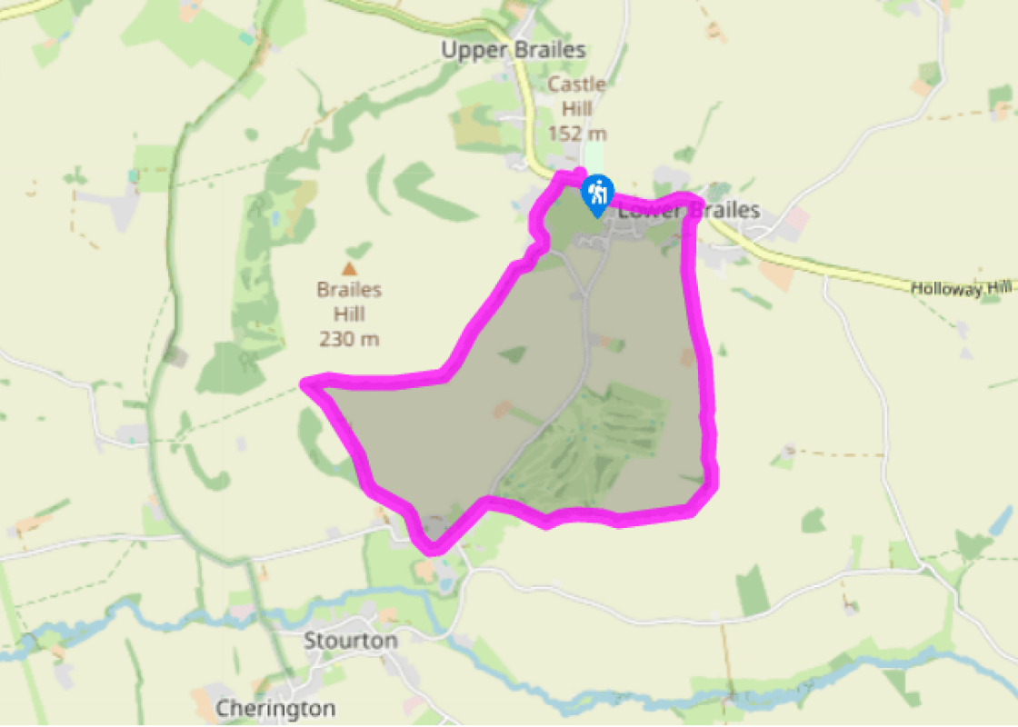
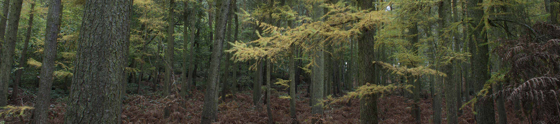
Turn right and walk down a waymarked public footpath just beyond The George Hotel. This runs beside a small Cotswold dry-stone wall, passing over a low stile, and then through a gate to cross Cow Lane into pastureland via a stile. Continue ahead, and at a footpath junction waymark post continue ahead to a double stile and footbridge in the hedge. Cross them and bear half right to the next stile, then quarter left for two further fields via a stile by a footbridge between them, heading for New Barn Farm. The footpath goes to the left of the farm complex to a gate. Through this, continue alongside the hedge to another gate. Beyond continue half left up the hill, crossing the field to a footbridge and stile. Cross the corner of the next field and continue ahead on the right-hand side of the hedge – there is a good view back over Lower Brailes. Walk up the path, then go through a hedge gap and bear right, walking above the trees surrounding the ruinous Rectory Farm.

Been on this walk?
Send us photos or a comment about this route. Or recommend a route of your own.

Walking in Safety
Read our tips to look after yourself and the environment when following this walk.

Get an AA guide
Explore our range of ‘50 Walks in’ guides - they’re the ideal companion for a ramble.
Been on this walk?
Send us photos or a comment about this route. Or recommend a route of your own.
Walking in Safety
Read our tips to look after yourself and the environment when following this walk.
Get an AA guide
Explore our range of ‘50 Walks in’ guides - they’re the ideal companion for a ramble.
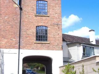
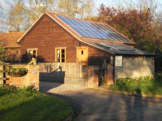
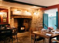
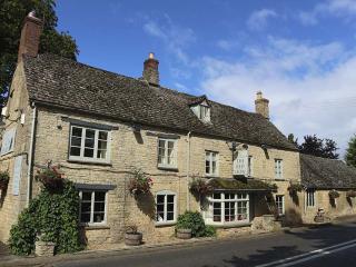
Nearby places to stay
View all (8)