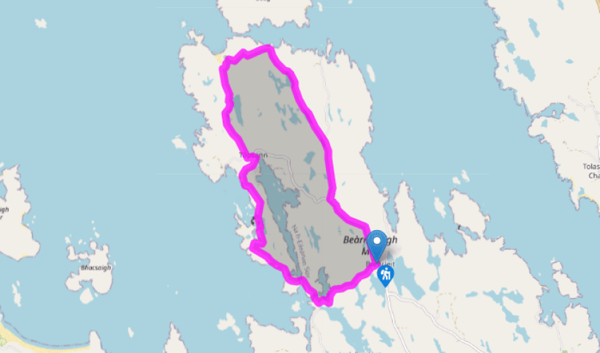
A coastal loop to Bostadh beach
Walk directions
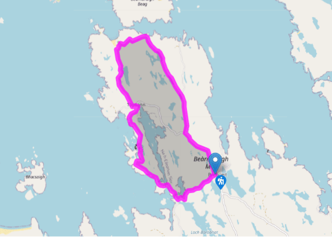
Take the minor road behind the Breacleit Community Centre, signposted for Tacleit and Bhalasaigh. The road undulates, giving views across to the Uig Peninsula. After a hairpin bend, you reach a house on the right. Immediately after the house, turn right down a minor road, signed to Bhalasaigh. Just beyond a sign advising 'no parking', you reach an arched footbridge across Tòb Bhalasaigh, with a footpath signed 'Tobson 2.75 km'. Cross the footbridge via a gate at its eastern end.
At the other end of the bridge, pass a house on the left and walk up a concrete path. In front of a wooden porch to a house, turn right through a gate, signed to Bostadh. This path becomes a grassy track that runs to the right of a second house to a wooden gate. Go through and follow the track to a waymarker on a small rise. These posts are distinctive – usually showing a boot on a purple and blue background – and accompany you to Bostadh Beach.
The path drops down to a gate near an abandoned house. The waymarkers fork here – follow the left-hand markers, keeping close to the coast. Cross a fence via a stile and some wooden steps and follow the waymarkers along the coast. Just before Loch Veiravat, the route cuts inland across a short, marshy section. The path then edges closer to Tòb Bhalasaigh, with a cairn up to your left.
The path drops down to the left of a sturdy fence. Ignore all gates and follow the fence until it turns sharp right, again following the waymarkers. These lead downhill to a metal gate and a fingerpost sign (pointing back to Bhalasaigh), and a lane.
Turn left into Tobson, and shortly afterwards left at the T-junction. The road climbs and after 165yds (150m), immediately after two stone buildings, turn right through a gate, signposted 'Bostadh 2km'. The steep climb soon eases to a plateau.
Follow the waymarkers across the summit of Beinn an Toib. Your path runs west of Loch a' Sgail and descends. Parallel to the head of the loch go through a metal gate. Turn right in front of the hill directly ahead, cross the top of Loch a' Sgail and bear left, following the waymarkers up a cleft in the hill with a gentle climb. This point offers the first glimpses of Bostadh Beach and its cemetery. Pass through a gate to a wooden gate in a stone wall and follow the waymarkers down to Bostadh.
The waymarkers bear right just in front of the Iron Age settlement, with access to both the reconstructed house and the beach. Your route crosses a small footbridge to the car park, and the paved single track road that leads all the way back to Breacleit. The road turns sharp right alongside Loch na Muilne. Golden eagles nest in the hills around here, and along this stretch of road it is not unusual to catch sight of one.
The road from Crothair joins from your left. Where the Tobson road joins in from the right, there's a rectangular cairn monument to the Bernera rioters (known as the Bernera Riot Memorial Cairn). The path then drops down gently to return to the Breacleit Community Centre.
Additional information
Terrain
- Undulating coastal path is sometimes indistinct, but waymarkers are clear, frequent and reliable; some marshy stretches; paved single-track road; several stiles
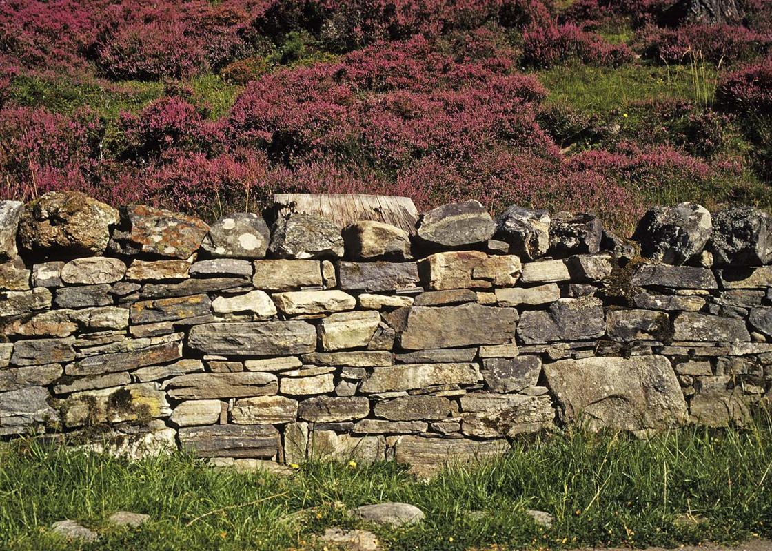
Landscape
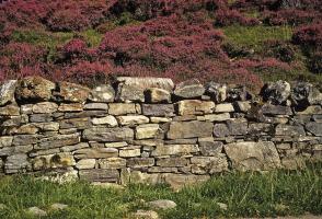
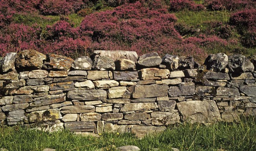
- Rocky grassland and moor, with fabulous island views and a silver sandy bay
Dog friendliness
- Dogs can be kept off leash but under close control; not allowed on Bostadh beach or Bostadh car park
Parking
- Bernera Community Centre & Café at Breacleit
Toilets en route
- Bostadh beach and Café at Breacleit
About the walk
Great Bernera and the adjacent peninsula of Uig make up one of the 13 areas of the Outer Hebrides. The island of Great Bernera is tied to the 'mainland' of Lewis by a small, single-track metalled road bridge, known as The Bridge Over the Atlantic. It was opened in 1953, following great pressure... from local communities, who had threatened to blow up rocks and create their own causeway if they did not get their own way. This walk tackles the northern half of Great Bernera, following the coast northwards above a succession of geos – narrow inlets that cut into the rocky shore. The vantage points along the way are excellent places to enjoy views of a large part of the Outer Hebrides. To the south is the wall of mountains that make up the northern part of Harris; west are the high headlands of the Uig peninsula and its mile-long beach of Traigh na Beirigh; and east are the western fringes of the island of Lewis. Historic landscape Along the way you will pass a handful of small settlements. Humans have long lived on Great Bernera, and by Bostadh beach you will find a replica of an Iron Age house. In 1992 a severe storm exposed the dunes and beach at Bostadh, allowing archaeologists to uncover five Pictish (late Iron Age) houses, dating to AD 400–800. The houses quickly suffered from exposure to the elements and were backfilled, but a reconstructed house, with a subterranean entrance and small chamber, was put in place in 1999. it's known locally – because of its shape – as the 'jelly baby house'. You'll notice that Great Bernera and Lewis have very few trees. – this is partly because Iron Age roundhouses required vast quantities of timber. Above the beach and the roundhouse is a lonely cemetery, walled in against the elements. Like so many cemeteries in the Outer Hebrides it is dramatically positioned, jutting out towards the sea. The single-track road from here that returns to Breacleit sees very little traffic, and moves through softer, more sheltered scenery than the coastal route. It passes a succession of tranquil inland lochs, where stone walls often peter out in the shallows of the water.
Read more
Been on this walk?
Send us photos or a comment about this route. Or recommend a route of your own.
Walking in Safety
Read our tips to look after yourself and the environment when following this walk.
Get an AA guide
Explore our range of ‘50 Walks in’ guides - they’re the ideal companion for a ramble.
About the area
Nearby places to stay
View all (8)
Room Only
Uig Sands
Quality Assessed
"Four comfy rooms with stunning views alongside a great restaurant...."
Hotel
Cabarfeidh Hotel
★★★★
"Away from the town centre but within easy reach of all attractions...."
- En-suite rooms:
- Family rooms:
Hotel
The Royal Hotel
Quality Assessed
"The food is a definite highlight of a stay here...."
- En-suite rooms:
- Family rooms:
Nearby places to stay
Uig Sands
Uig Sands Restaurant is located on the West coast of the Isle of Lewis, with breath-taking views over Uig Bay and beyond. The four luxury rooms sit in a single-storey block between Uig ...
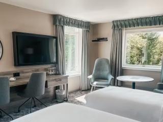
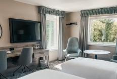
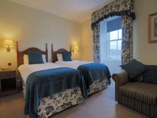
Quality Assessed
Cabarfeidh Hotel
A modern hotel sitting slightly away from the town centre but immediately opposite the castle entrance. It offers smart, contemporary accommodation. Bedrooms are comfortably appointed a...
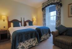
★★★★ Rating
The Royal Hotel
The Royal has a great deal of history in the town and sits quayside in Stornoway with views over to Lews Castle. Guests here can expect to enjoy relaxed Hebridean hospitality and tradit...
Quality Assessed
Caladh Inn
The Caladh Inn is set in the centre of Stornoway, handy for airport and ferry links as well as the town centre. Accommodation comes in a broad range of sizes and configurations but all ...
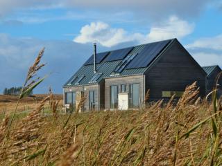
★★★ Rating
The Lewis Longhouse
The Lewis Longhouse is a modern, 2-storey house located on an old family croft in Coll, just outside Stornoway. This 'home from home' was built in 2012 and offers luxury self-catering a...
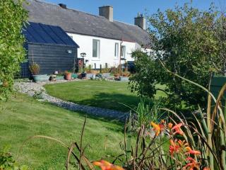
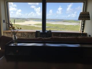
★★★★★ Rating
Snowberry Cottage
Overlooking the edge of the machair towards the Atlantic, Snowberry Cottage, a compact and peaceful little cottage, has a simply stunning wild outlook; well worth the journey. Two bedro...
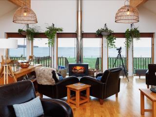
★★★★ Rating
Broad Bay House
Broad Bay House is owned and run by Sue and Tom, who share a passion for traveling and exploring. Service, simplicity and style are at their core; when you book a stay here, you’re guar...
★★★★★ Rating
Ceol na Mara Guesthouse
Ceol na Mara (meaning "Music of the Sea" in Geelic) is a real destination spot tucked away in a peaceful location in 60 acres of its own croft land with views over Loch Kindibeg and the...
★★★★★ Rating
Places to eat nearby View all


