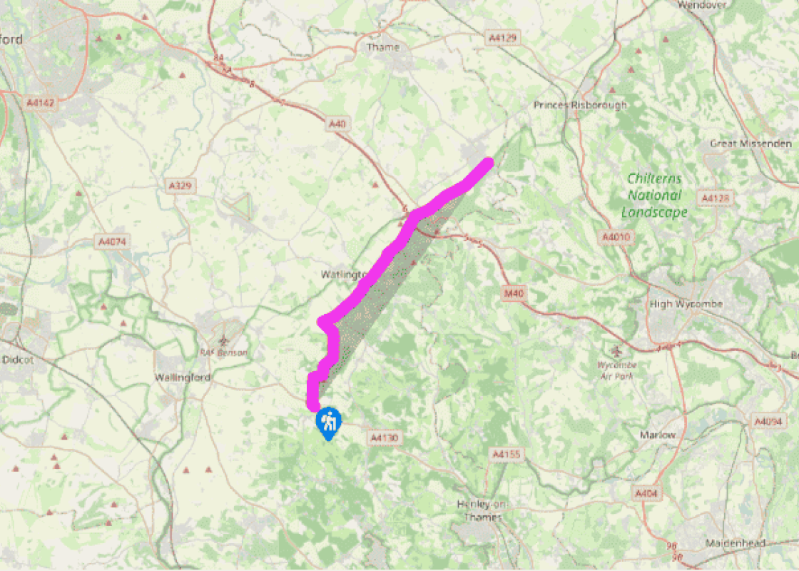
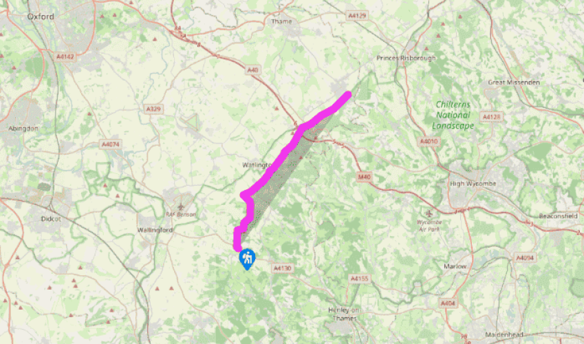
The Ridgeway: Nuffield to Chinnor
The Ridgeway leaves the main road through a gate and descends through woodland. This section of the walk is marked by the passing of two large houses, Ewelme Park and Swyncombe House. Ewelme Park is an interesting example of a 20th-century Arts and Crafts house occupying high ground, its walls rendered throughout. A couple of miles off the route to the west lies the village of Ewelme itself, which contains some gems of 15th-century architecture. The path goes on to descend into the dry valley of Colliers Bottom.
The Ridgeway itself turns right at the junction with the bridleway and follows this upwards through the Swyncombe estate to St Botolph’s Church, a pleasant little building dating back to the 11th century.
Â
Above the church, the trail crosses a minor road and begins the descent, rise and descent towards the route of the Icknield Way, an ancient track running across southern England from the Chilterns to Norfolk. Britwell House is visible in the distance.
You cannot help but feel a thrill to be stepping back on to the line of the ancient highway. At this point it is a flint-surfaced track, whose hedges have grown up to form a tunnel. In places the track is sunken below the surface of the adjacent fields, to produce a holloway. In this enclosed environment the miles
speed by.
Soon after the crossing of the B480 beside Icknield House, a minor road is met where a left turn would
lead down to the small town of Watlington, with its fine central town hall, built by Thomas Stonor in 1664. Cut into the hillside immediately above this junction is the 270ft-high (82m) obelisk of the Watlington White Mark. There is a camp site at White Mark Farm, just off the road into Watlington.
The Ridgeway presses on between its hedges and over the next 3 miles (4.8km) it passes below some of the finest chalk downland in the Chilterns. These north-facing slopes form part of the Aston Rowant Nature Reserve, which spans the motorway and can be visited from The Ridgeway by turning right either just before or just beyond the tunnel underneath the M40.
While there is no doubt that the motorway is an intrusion into this beautiful piece of countryside, as far as The Ridgeway is concerned, its impact is minimized by crossing at right angles and the sound of the traffic soon recedes into the background. Indeed, it has been said that the Icknield Way itself was the
motorway of prehistoric England, but it is interesting to contrast the modern route, with its cuttings and embankments gouging its way between the vast conurbations that it serves, and the natural lines of the ancient route; always so conscious of the terrain it is crossing, exploiting every easy slope and running with the grain of the landscape.
Route-finding along this part of the path could not be easier. The track varies in width, sometimes approaching in appearance the great grass swathe which ran over the Downs west of Goring, but always it is bounded by hedges and bears steadfastly northeast.
Been on this walk?
Send us photos or a comment about this route. Or recommend a route of your own.
Walking in Safety
Read our tips to look after yourself and the environment when following this walk.
Get an AA guide
Explore our range of ‘50 Walks in’ guides - they’re the ideal companion for a ramble.
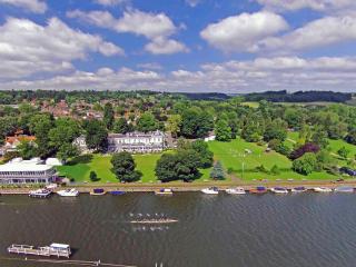
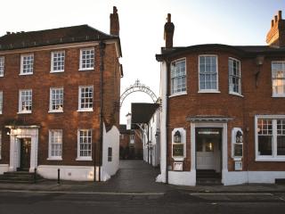
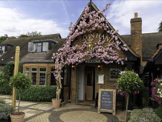
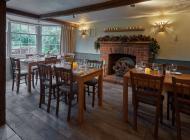
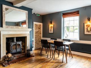
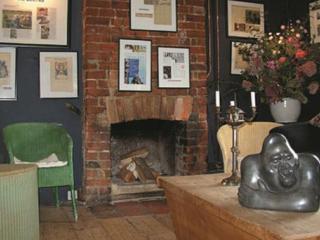
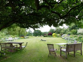
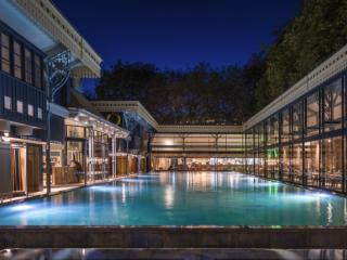
Nearby places to stay
View all (8)
- Family rooms: 1
- WiFi available
- Rooms 8
- Free TV
- Wifi
- Lounge with TV


