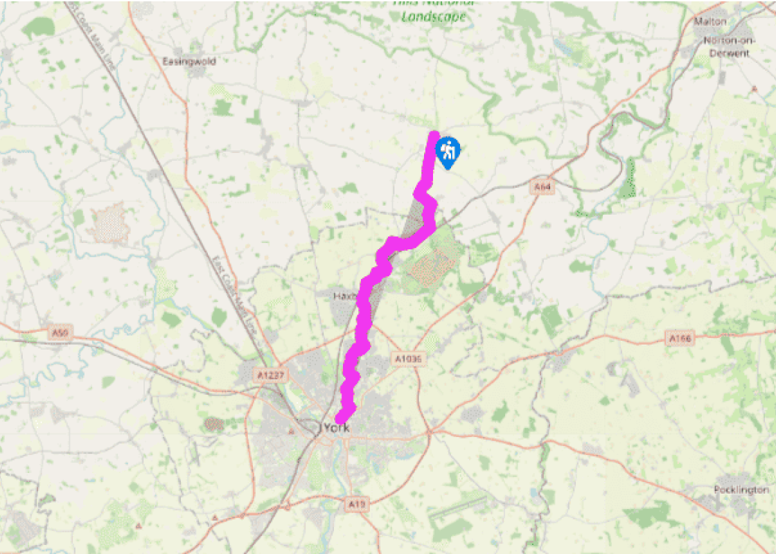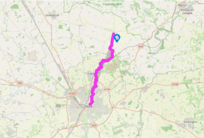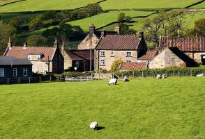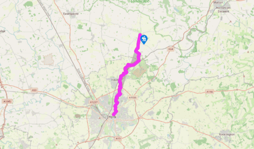
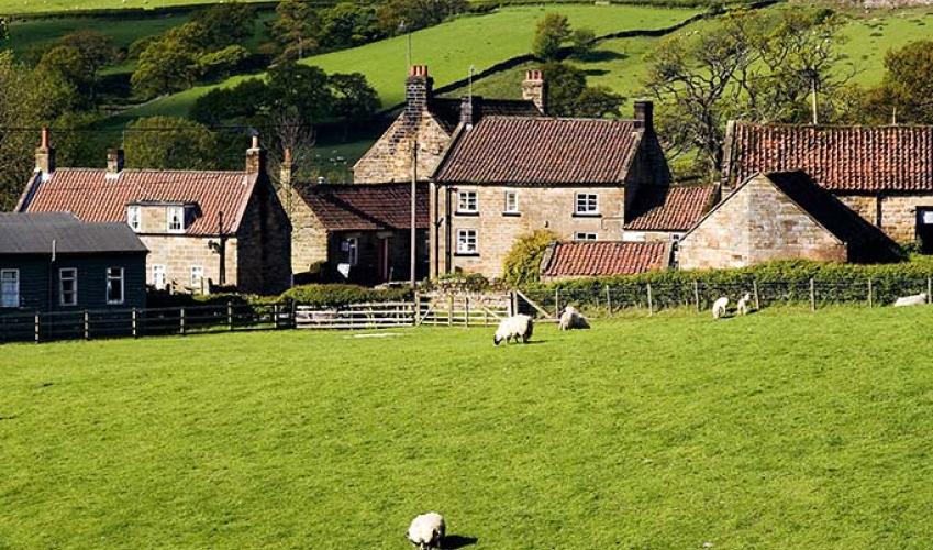
Ebor Way: Sherriff Hutton to York
On The Square in Sheriff Hutton, at the road junction by The Highwayman pub, walk south on the Strensall road and turn left before the village hall, to join a path across fields to West Lilling. Turn left at the village street, then turn right along a quiet unsigned tarmac lane out of the hamlet.
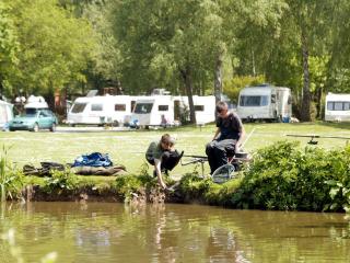
The lane crosses a road and continues as a broad unmade track to Lilling Green. A tubular bridge takes the path over the River Foss. Continue, turning right through the edge of Strensall Common Nature Reserve and alongside the lane beside the railway into Strensall. Before the level-crossing, turn right through the village.

Been on this walk?
Send us photos or a comment about this route. Or recommend a route of your own.

Walking in Safety
Read our tips to look after yourself and the environment when following this walk.

Get an AA guide
Explore our range of ‘50 Walks in’ guides - they’re the ideal companion for a ramble.
Been on this walk?
Send us photos or a comment about this route. Or recommend a route of your own.
Walking in Safety
Read our tips to look after yourself and the environment when following this walk.
Get an AA guide
Explore our range of ‘50 Walks in’ guides - they’re the ideal companion for a ramble.
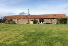
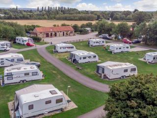
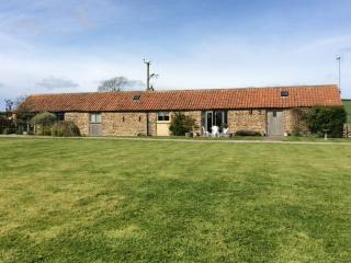
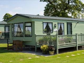
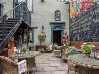
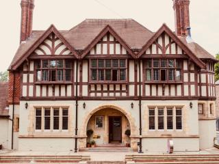
Nearby places to stay
View all (8)


- Launderette
- Ice pack facility
- Shop onsite
- Wifi available