AA Road Atlas Britain 2027
The UK’s most up-to-date road atlases*
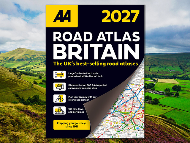
Fully revised and updated for 2027, AA Road Atlas Britain is your trusted travel companion for exploring every corner of Britain. This top selling A4 road atlas displays large-scale, detailed district mapping of London, Birmingham, Glasgow, Manchester, and Newcastle, including 100 city, town, and port plans for quick navigation.
With a full colour country, unitary and administrative area map and a comprehensive 31,500 entry index with airports, top tourist sites – including National Trust, English, Scottish, Welsh and World Heritage sites – and motorway services, planning your journey has never been easier. Motorway maps and ferry planning information provide essential motoring information for your journey.
ISBN: 978-0-7495-8456-6
Publication date: 9 April 2026
Pages: 328pp
Dimensions: 297 x 220mm (Spiral)
*Nielsen BookScan Total Consumer Market (all road atlases) 1–39 weeks to 30 September 2025.