Islandmagee (NT)
Recommended by

Overview
Islandmagee is a peninsula on the East Antrim coast with cottages, rolling fields, quiet villages and spectacular coastline. It is a microcosm of the Northern Irish countryside. The name 'Islandmagee' hails from the Gaelic ‘Oileán Mhic Aodha’, meaning 'MacAodha's island', the clan whose home was once at Portmuck, one of three stretches of coastline and countryside on the peninsula owned and managed by the National Trust. Portmuck itself is a beautiful harbour located on the northwest coastline and steeped in history, from the site of an ancient monastery and castle to smuggling, lime production and fishing. Now it is a centre of leisure for the community and beyond, with a picnic area and clifftop walks offering views across the Irish Sea. Keep an eye out for kittiwakes, guillemots and razorbills around the wonderful 'pig-shaped' Isle of Muck nearby. Further to the northeast, you'll find that Brown's Bay, with its sandy beach, is an ideal starting point for walking to Skernaghan Point which enjoys spectacular views of the famous Antrim coast. To the south lie 'The Gobbins'. The name has its origins in the Gaelic 'An Gobain' and translates to 'the points of rock'. Now an ASSI, the Gobbins cliffs afford stunning panoramic views and were the site of the now derelict Gobbins cliff path, cut into the rock and comprising suspended walkways and bridges, a feat of engineering once more popular than the Giant's Causeway.
About the area
At its closest point, County Antrim is only 12 miles from the Mull of Kintyre, and its coastline is both beautiful and geologically diverse. Alternating sandy bays, rocky shores, high cliffs and forbidding headlands produce a dramatic scenery.

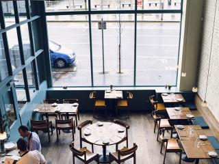
Places to eat nearby View all


Nearby places to stay
View all (8)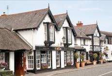


Nearby places to stay
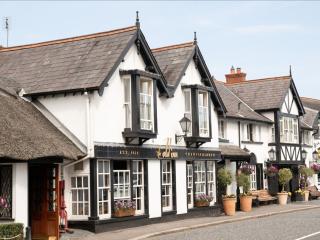
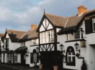
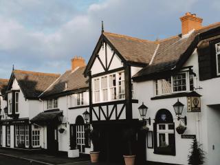
The Old Inn
The Old Inn at Crawfordsburn is ideally located between Bangor and Belfast with George Best Airport just a 10 minute drive away. Perched above Crawfordsburn Country Park this charming h...
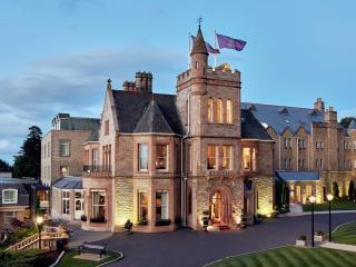
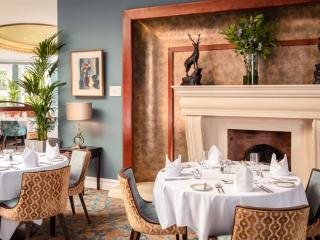
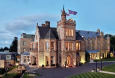
Culloden Estate & Spa
The Culloden Estate and Spa stands in a elevated position looking down on to Belfast Lough. The site for the hotel was an 18th-century Bishops Palace and still retains the luxury and el...
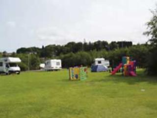
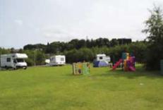
Dundonald Touring Caravan Park
A purpose-built site in a quiet corner of Dundonald Leisure Park on the outskirts of Belfast. This peaceful park provides excellent, well-spaced, fully serviced pitches and is ideally l...

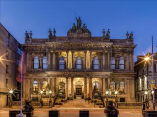
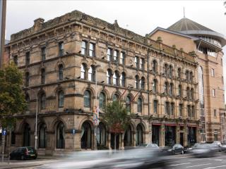
The Merchant Hotel
Situated in the historic Cathedral Quarter of Belfast, The Merchant Hotel is a magnificent Grade I listed property. It has been lovingly and sensitively restored to reveal the original ...
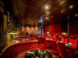
Malmaison Belfast
The Malmaison Belfast is situated in a former seed warehouse at the heart of Belfast's Cathedral Quarter, ideally located for the city centre. The hotel's design ethos is informed by th...
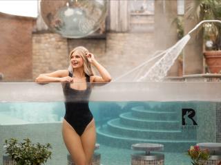
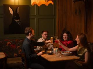
The Rabbit Hotel & Retreat
The Rabbit Hotel and Retreat is just 20 minutes from Belfast and 10 minutes from Belfast International Airport. It's a lakeside property with a stunning open air spa, hot tubs and Roman...
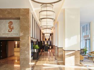
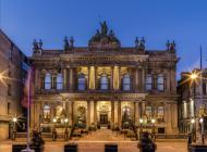
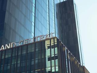
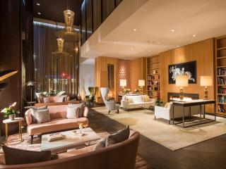
Grand Central Hotel Belfast
Standing tall in Bedford Street, the Grand Central is an impressive jewel that mixes glamour and grandeur with a uniquely Belfast spirit. Situated in the up-and-coming Linen Quarter, th...
Fitzwilliam Hotel Belfast
The Fitzwilliam is perfectly placed for Belfast city centre, adjacent to the Grand Opera House and set amid a range of shops and restaurants. The modern contemporary style bedrooms are ...