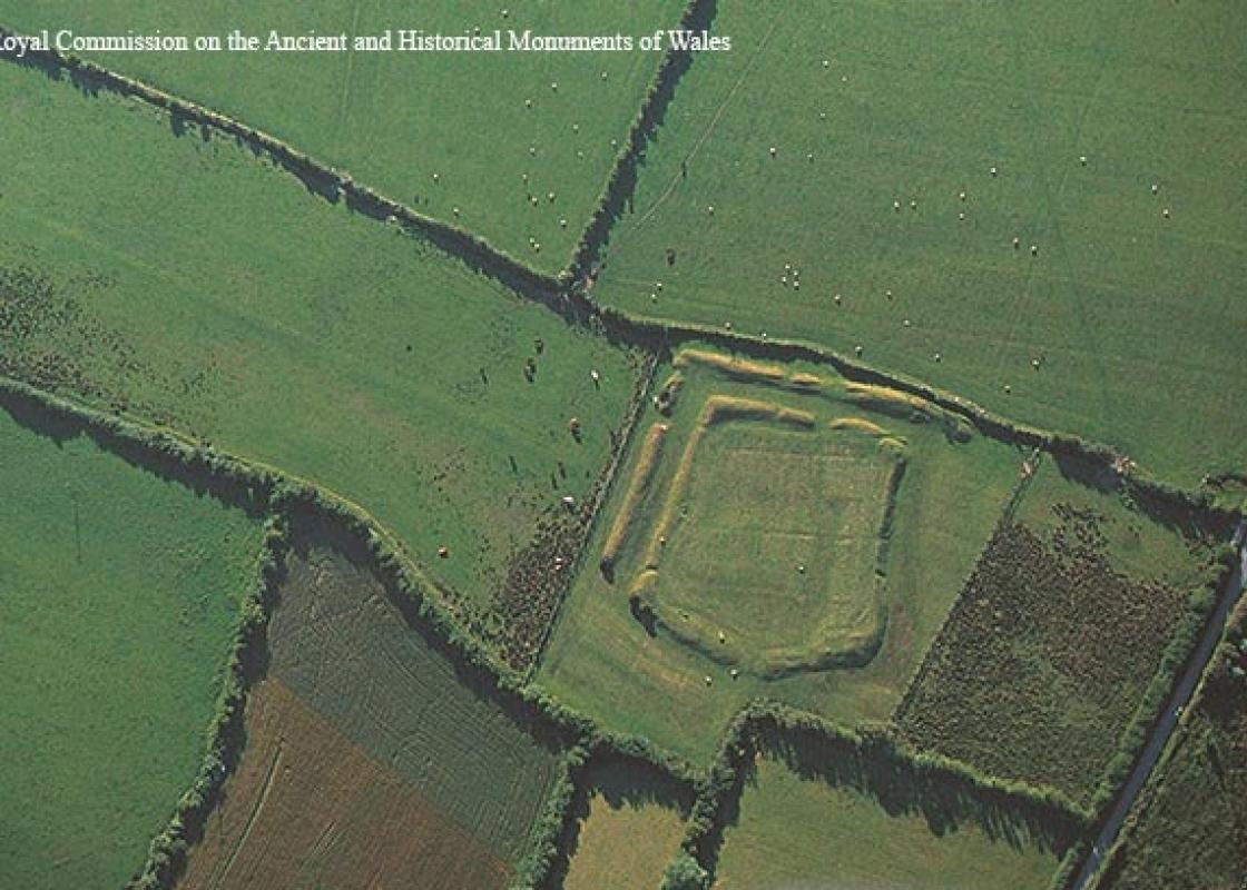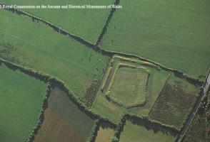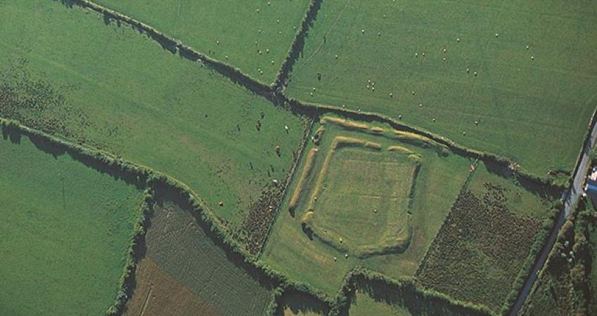
Caer Leb
Recommended by

Overview
A low-lying rectilinear enclosure, defined by double banks and ditches. It is thought to date from around the 2nd century BC. Victorian excavations found structures within the enclosure, as well as pottery and periwinkle shells. Photo credit: © Crown copyright (2015) Cadw
Features
- Opening Times
- Open all year
- Opening Times: Open all year daily 10-4 (last admission 3.30)
About the area
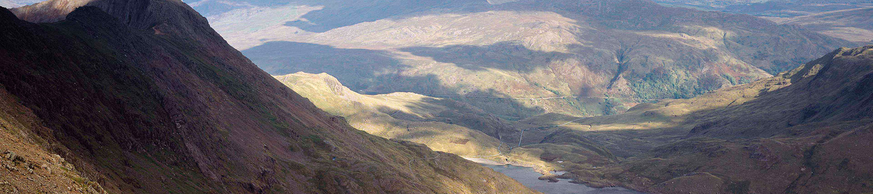
Some of the oldest rocks in Britain form the 125-mile coastline of the 85 square mile Anglesey Area of Outstanding Natural Beauty, which includes Holy Island with its busy port of Holyhead, the terminus for the Dublin ferry. The terrain inland is mainly a fertile plateau worn flat by the action of the sea, with low ridges and shallow valleys, while the sheer limestone cliffs of the east coast and on the north coast at Holyhead Mountain represent some of the most spectacular sea cliffs in Britain.
Places to eat nearby View all


Nearby places to stay
View all (8)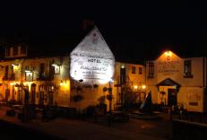


Nearby places to stay
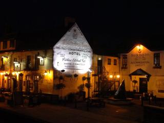
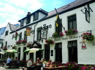
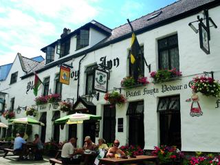
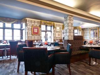
Black Boy Inn
Located within Caernarfon's historic town walls, Black Boy Inn, a fine 16th-century inn, has low ceilings, narrow staircases and thick wooden beams originally from old ships. It is one ...
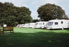
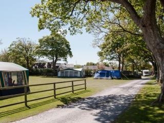
Riverside Camping
Set in the grounds of a former garden centre and enjoying a superb location along the River Seiont, Riverside Camping is approached by an impressive tree-lined drive. Immaculately maint...
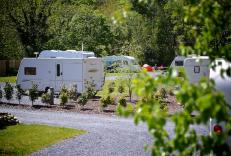
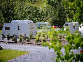
Plas Gwyn Caravan & Camping Park
A secluded park in an ideal location for visiting the glorious nearby beaches, historic Caernarfon, the attractions of Snowdonia and for walking opportunities. The site is set within th...
Llys Derwen Caravan & Camping Site
Enjoy the adventure of a lifetime in Snowdonia North Wales. Nestled in the scenic embrace of Mount Snowdon (Yr Wyddfa), the award winning Llys Derwen Caravan & Campsite Snowdon is an id...
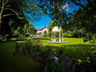
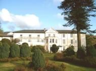
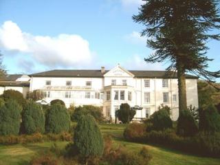
Plas Dinas Country House
Plas Dinas Country House nestles between the Snowdonia mountains and the Irish Sea. It's an idyllic setting with stunning views. Located in beautiful grounds, this delightful Grade-II l...
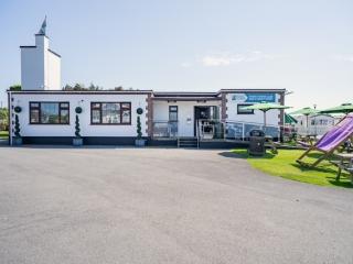
White Tower Holiday Park
There are lovely views of Snowdonia from this park that is located just two miles from the beach at Dinas Dinlle. A very well maintained, quality amenity block provides good privacy opt...
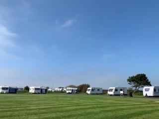
Dinlle Caravan Park
A very accessible site adjacent to a sandy beach and with great views towards Snowdonia. Landscaping is particularly impressive with a colourful display of both cultivated and indigenou...
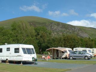
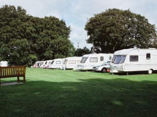
Bryn Gloch Caravan & Camping Park
Set beside the River Gwyrfai, Bryn Gloch offers shepherd's huts, static caravans and touring pitches in the heart of beautiful Snowdonia (Eryri). The park offers the best of two worlds,...