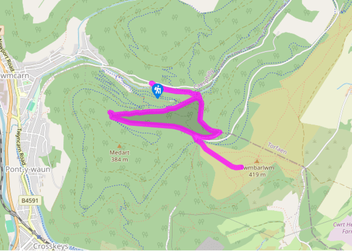
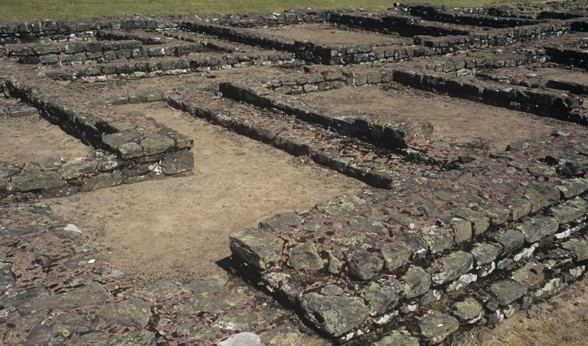
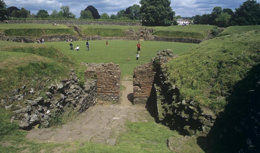
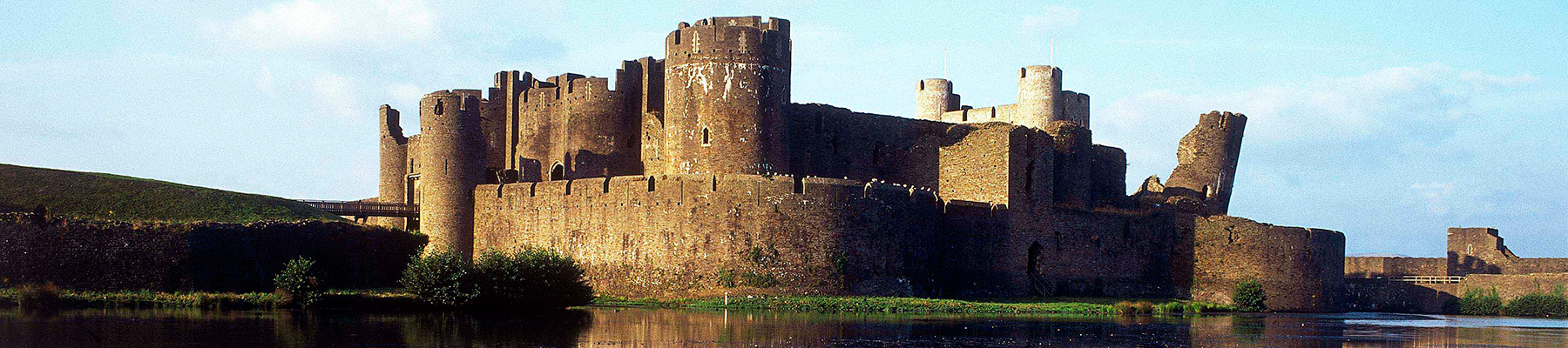
Twmbarlwm and Cwm Carn
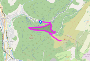
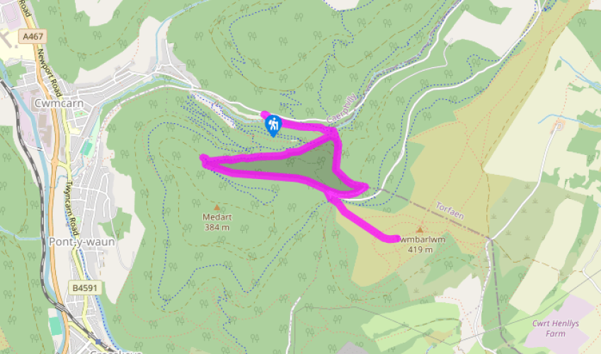
From the car park, head up to the visitor centre, and follow the decking around to the right to keep the building on your left-hand side. Go through a gate on to a tarmac footpath and follow this up to Cwmcarn. Walk along either side of the small lake and then, at the far end, continue up a footpath with the stream on your left-hand side. Pass a little pond on a boardwalk and then, at a timber barrier, cross the stream on a tarmac bridge. Bear around to the right and follow the road up the valley, with a steep grassy bank, once a spoil heap, on your left. Above this, you should be able to make out an old winding wheel, which marks the spot of the colliery’s second downshaft.
Continue over the stream again, then, with a barrier ahead, bear right through a gate to walk uphill on a narrow path. This ends at a gate, which you don’t cross; instead, take the second track on the left. This leads on to the tarmac Forest Drive where you turn right and immediately left, to continue uphill on a broad track. As this bends left, bear right to climb up to Forest Drive again. Turn right to follow it down slightly and around a sharp righthand bend. Fork left here, through a gate, on to a narrow trail that leads uphill. Follow this to the Forest Drive again, go through a gate, and turn right to a four-way junction. Take the second of the two left turns and climb to a gate on the left, next to an information board, which leads on to the open hillside of Twmbarlwm.

Been on this walk?
Send us photos or a comment about this route. Or recommend a route of your own.

Walking in Safety
Read our tips to look after yourself and the environment when following this walk.

Get an AA guide
Explore our range of ‘50 Walks in’ guides - they’re the ideal companion for a ramble.
Been on this walk?
Send us photos or a comment about this route. Or recommend a route of your own.
Walking in Safety
Read our tips to look after yourself and the environment when following this walk.
Get an AA guide
Explore our range of ‘50 Walks in’ guides - they’re the ideal companion for a ramble.
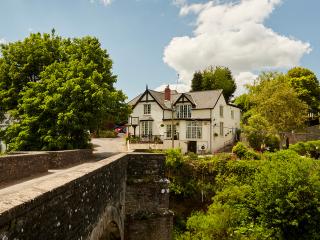
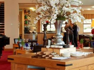
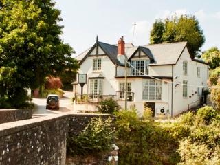
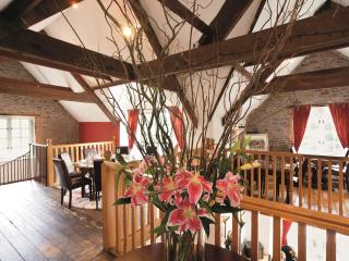
Nearby places to stay
View all (8)