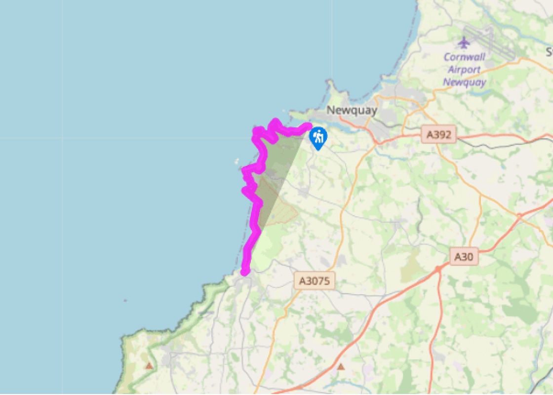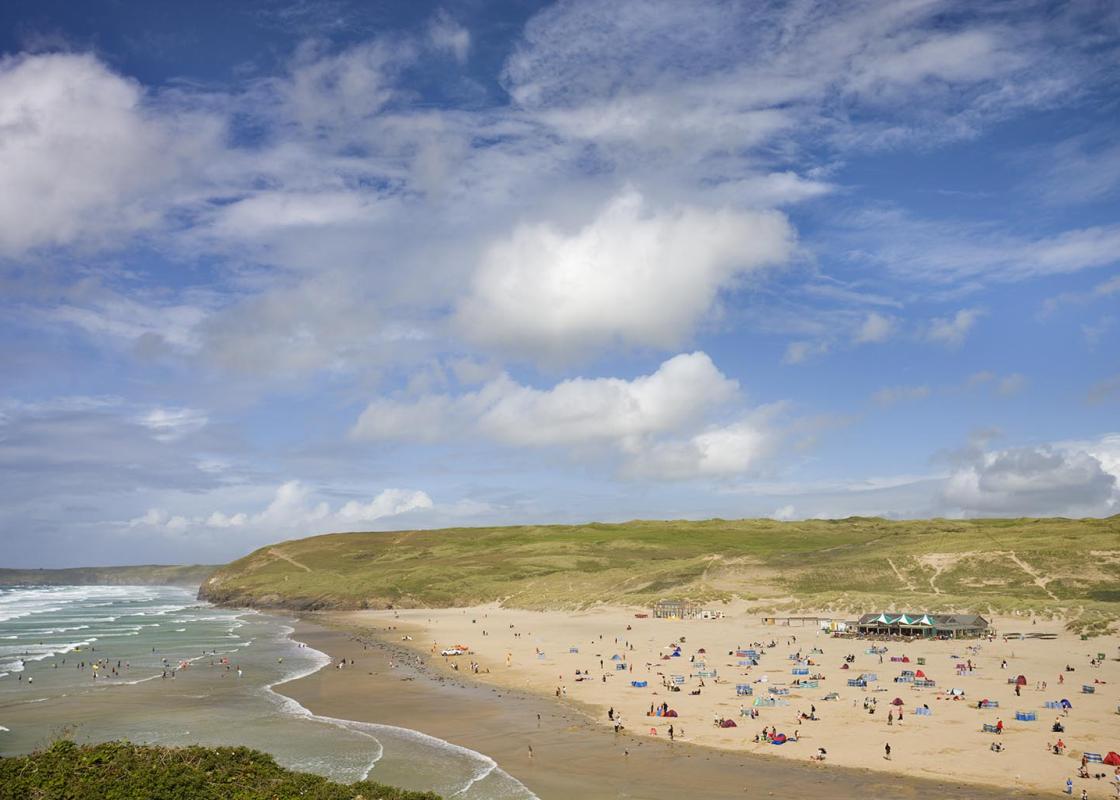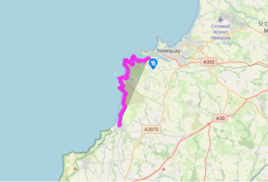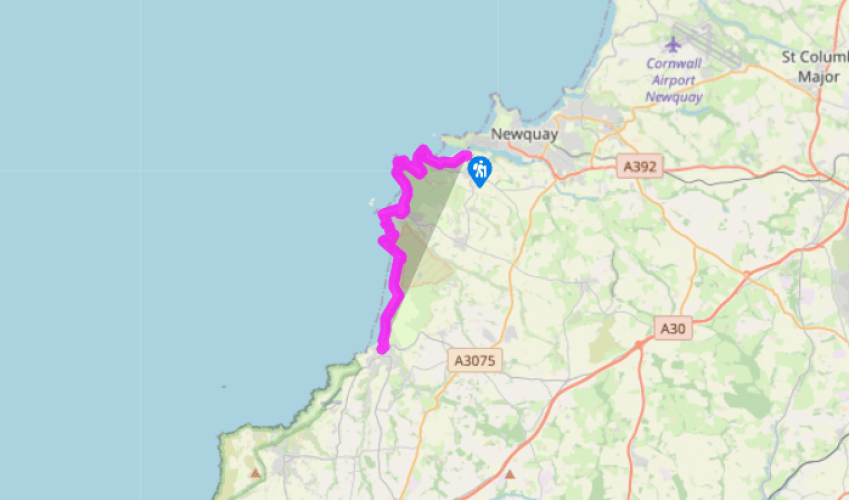
Along the coast to Perranporth
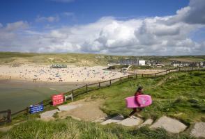
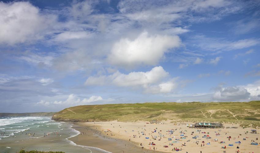
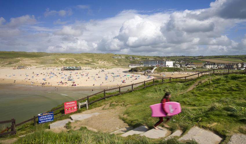
Follow the enclosed path that leads off to the left a few paces inside the entrance to the National Trust car park at Crantock. Fork left and follow a footworn grassy path across the dunes, bearing slightly left towards a half-hidden modern house with an hexagonal outbuilding. Near the house, first pass a junction with a path going right, then immediately reach another junction by a National Trust sign for 'The Rushy Green'. Keep right here (if you start from the centre of Crantock village, you should head down Beach Road, then immediately turn off left along a track which leads you to the junction near the house, at which you turn right). In a few paces reach a crossing of sandy tracks. Go straight ahead into an open field, then turn right and follow the field-edge. Keep ahead past the end of the beach where several paths branch inland to the left, including one to C-Bay Bar & Bistro.
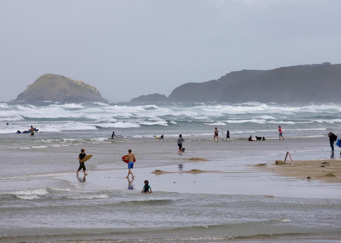
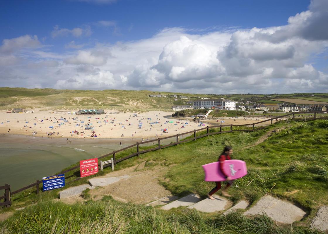
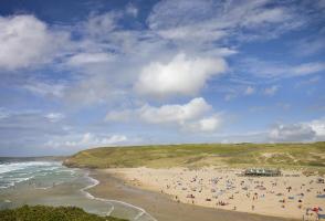
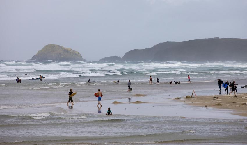
After a kissing gate, bear left at a junction, and continue around Pentire Point West to reach Porth Joke. Cross the head of the beach and follow the coast path to Holywell Bay. Follow a path through the dunes to reach a bridge over a stream (you can divert inland here to public toilets, shops and St Pirans Inn).

Been on this walk?
Send us photos or a comment about this route. Or recommend a route of your own.

Walking in Safety
Read our tips to look after yourself and the environment when following this walk.

Get an AA guide
Explore our range of ‘50 Walks in’ guides - they’re the ideal companion for a ramble.
Been on this walk?
Send us photos or a comment about this route. Or recommend a route of your own.
Walking in Safety
Read our tips to look after yourself and the environment when following this walk.
Get an AA guide
Explore our range of ‘50 Walks in’ guides - they’re the ideal companion for a ramble.
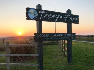
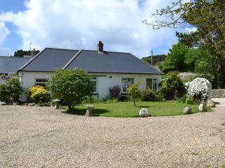
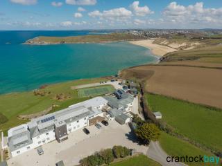
Nearby places to stay
View all (8)