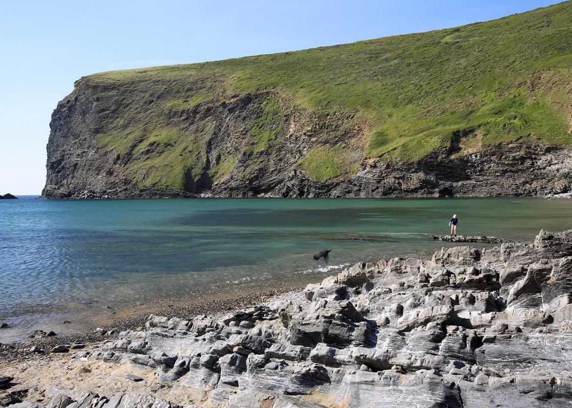
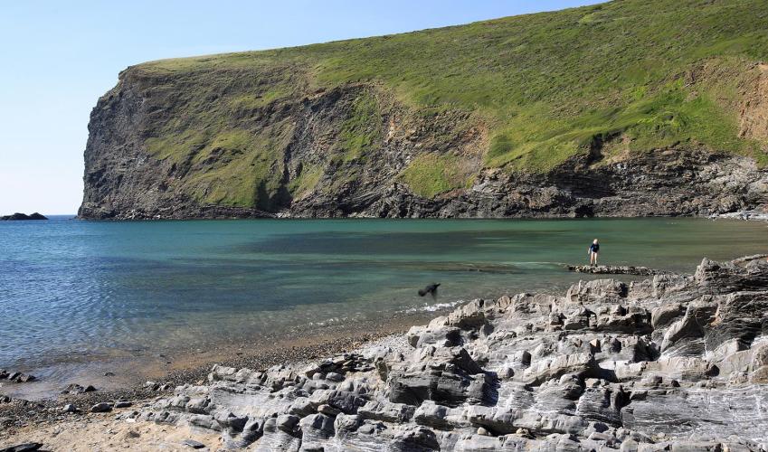
Geology at Crackington Haven
Recommended by

"A coastal and inland walk with sea cliff views"
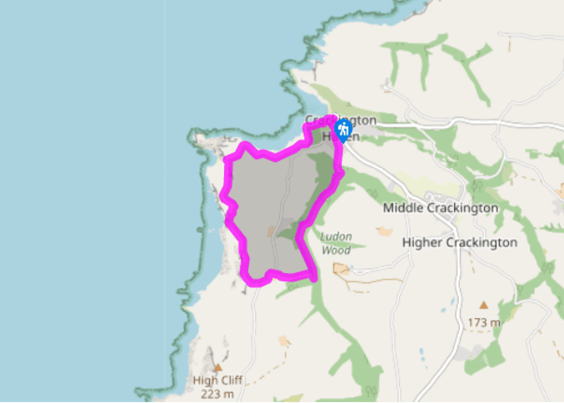
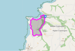
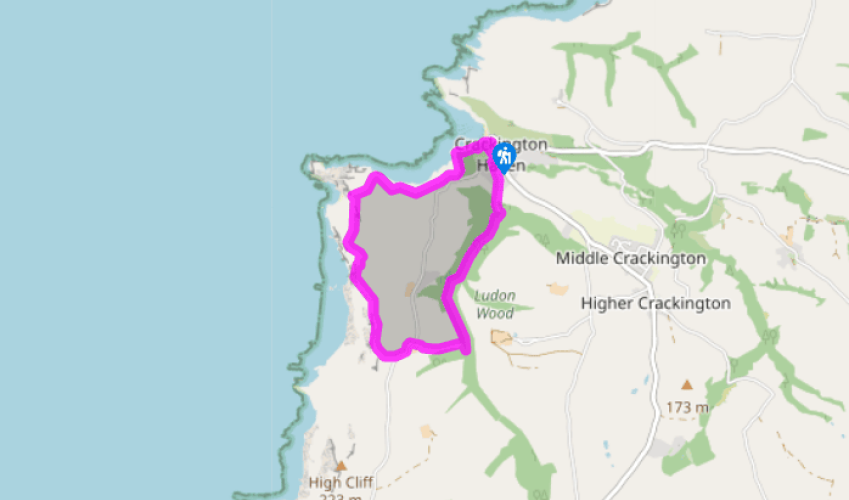
Walk directions
From the Crackington Haven car park entrance go left across a bridge, then turn right opposite the Cabin Café. Follow the coast path signs along a broad track to the left, past tennis courts and through a kissing gate. Fork right a few paces later.
Eventually a stile leads to a steep stepped descent to footbridges below Cambeak and a path junction. Keep left, signed High Cliff, and follow a path up a sheltered valley on the inland side of the steep hill, then continue on the cliff path.
View all directions
Additional information
Terrain
- Good coastal footpath and woodland tracks; wet and muddy at times; several stiles
Landscape
- Open coast and wooded valley
Dog friendliness
- Dogs on lead on cliffs and in fields; goats on cliffs south of Cambeak
Parking
- Crackington Haven car park from the A39 at Wainhouse Corner or from Boscastle on the B3263; can be busy in summer. Burden Trust car park and picnic area
Toilets en route
- Crackington Haven
About the walk
Crackington Haven has given its name to a geological phenomenon, the Crackington Formation, a fractured shale that has been shaped into incredibly twisted and contorted forms. On the sheared-off cliff faces of the area, you can see the great swirls and folds of this sedimentary rock that was...
Read more

Been on this walk?
Send us photos or a comment about this route. Or recommend a route of your own.

Walking in Safety
Read our tips to look after yourself and the environment when following this walk.

Get an AA guide
Explore our range of ‘50 Walks in’ guides - they’re the ideal companion for a ramble.
Been on this walk?
Send us photos or a comment about this route. Or recommend a route of your own.
Walking in Safety
Read our tips to look after yourself and the environment when following this walk.
Get an AA guide
Explore our range of ‘50 Walks in’ guides - they’re the ideal companion for a ramble.
About the area
Cornwall has just about everything – wild moorland landscapes, glorious river valley scenery, picturesque villages and miles of breathtaking coastline. Known for its popular surfing spots, the region provides ample opportunities for water sport enthusiasts, and for those who prefer to stay on land, visitor attractions like the Eden Project and the Lost Gardens of Heligan offer a lovely day out.
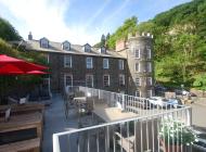
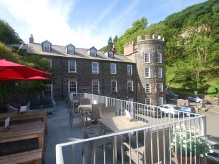
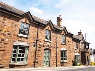
Nearby places to stay
View all (8)


Nearby places to stay
Burngullow
Set in a quiet village location, Burngullow sleeps five in two doubles and a single. It has a fully fitted kitchen, a conservatory, and an enclosed rear garden with patio and seating. A...
Burngullow
Set in a quiet village location, Burngullow sleeps five in two doubles and a single. It has a fully fitted kitchen, a conservatory, and an enclosed rear garden with patio and seating. A...
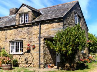
Nutmeg Cottage
Awaiting description...
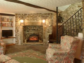
Stables Cottage
Awaiting description...
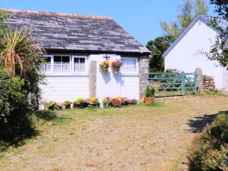
Skyber Cottage
Awaiting description...
Old Newham Farm Holiday Cottages
Old Newham Farm Holiday Cottages occupy a desirable location on a 30-acre organic farm deep in the Cornish countryside. In the same family since 1979, the traditional stone cottages are...
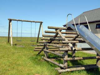
Penhalt Farm Holiday Park
Penhalt Farm Campsite is set on the Coastal Downs. A mile south of Widemouth Bay, it enjoys stunning views of the magnificent Atlantic coastline and the surrounding countryside....
1B The Old Oil House
A great base for exploring Tintagel, Crackington Haven and other North Cornwall treats, 1B The Old Oil House occupies the first floor of a former stone shop and garage just minutes from...
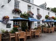
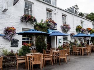
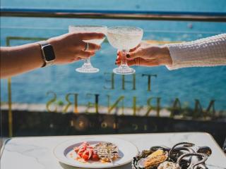
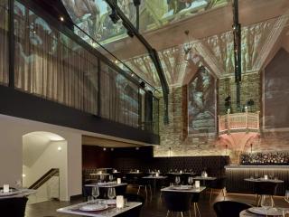
Places to eat nearby View all