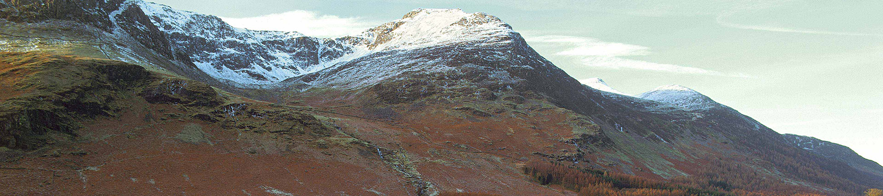
Binsey's Faraway Heights
Recommended by

"This distant outpost of the Lakeland fells makes for a lovely circular ramble with grand views all around."
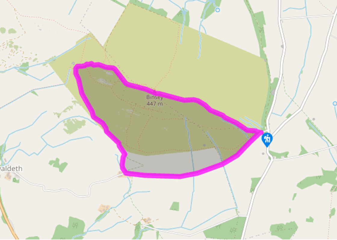
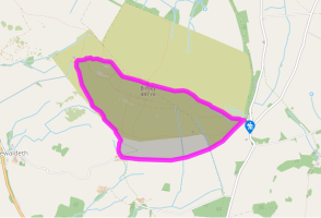
Walk directions
From the roadside parking area, walk down the quiet lane. There is very little traffic here and ample space at the side of the road to avoid it, but do keep an ear open for oncoming traffic.
In a mile (1.6km) or so you’ll come to the farmyard at Fell End, where you should turn right, through a gate by a well. In the steep field beyond, stay with the left-hand boundary for a few hundred yards before striking off on a similar line towards a gate in the wall at the head of the field.
You’ll find it more convenient to pick the left-hand gate of the two you may be able to see. Through the gate, turn left, soon picking up a narrow trod contouring around the fell, initially about 10 paces up from the wall, then maintaining its height as the wall slips away to the left. Continue on this line, indistinct in places but always traceable, eventually beginning to round the flank of the fell.
View all directions
Additional information
Terrain
- Road, moorland paths and tracks
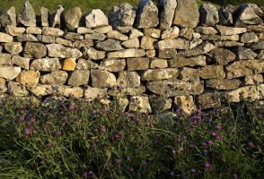
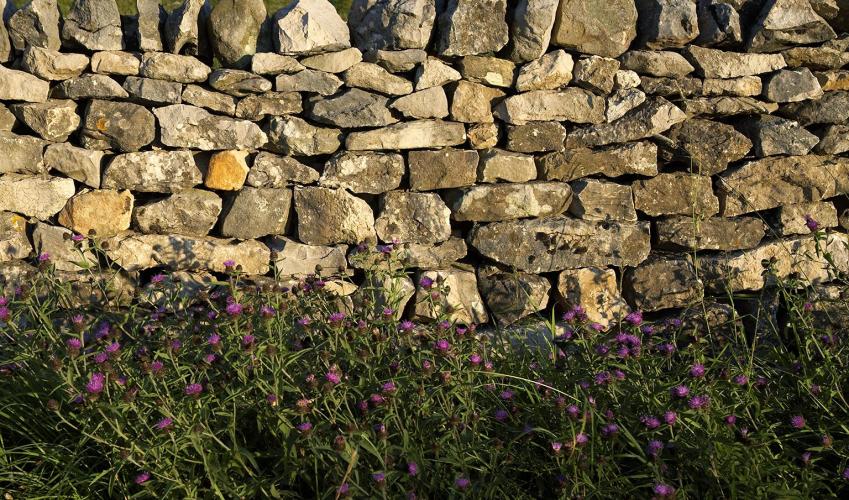
Landscape
- Upland farms and moorland
Dog friendliness
- Under control in sheep country, particularly at lambing
Parking
- At roadside pull-in on a minor road near to Binsey Lodge, off the Ireby to Castle Inn road
Toilets en route
- None on route
About the walk
Binsey is not often on the itinerary of the casual visitor to the Lake District, and many of those you will meet as you complete this walk will be here for one reason alone – to tick off the summit in their relentless pursuit of the 214 fells Alfred Wainwright listed in his Pictorial Guides. The...
Read more

Been on this walk?
Send us photos or a comment about this route. Or recommend a route of your own.

Walking in Safety
Read our tips to look after yourself and the environment when following this walk.

Get an AA guide
Explore our range of ‘50 Walks in’ guides - they’re the ideal companion for a ramble.
Been on this walk?
Send us photos or a comment about this route. Or recommend a route of your own.
Walking in Safety
Read our tips to look after yourself and the environment when following this walk.
Get an AA guide
Explore our range of ‘50 Walks in’ guides - they’re the ideal companion for a ramble.
About the area
Cumbria's rugged yet beautiful landscape is best known for the Lake District National Park that sits within its boundaries. It’s famous for Lake Windermere, England’s largest lake, and Derwent Water, ‘Queen of the English Lakes', but other lesser-known areas in the south, such as the Lune Valley and the coastal towns, are secret gems of wide cobbled streets and rolling hills.
Nearby places to stay
View all (8)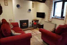

Nearby places to stay
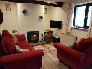
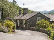
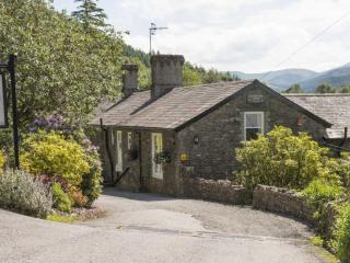
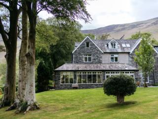
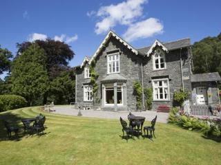
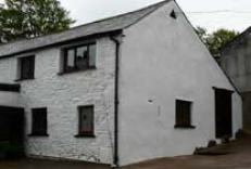
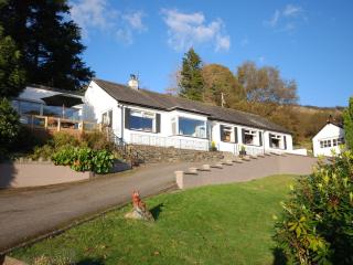
Peter House Cottages
On a Lakeland hill farm at the foot of Skiddaw, close to Bassenthwaite village, you’ll find these two comfortable barn conversions, Peter House Cottage and Pembroke Cottage. There’s no ...
Peter House Cottage
...
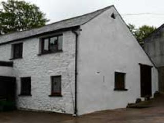
Pembroke Cottage
...
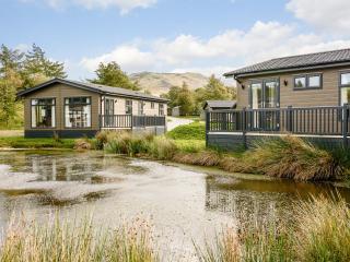
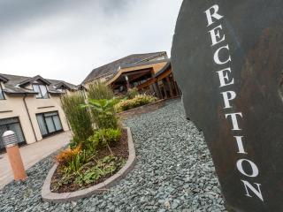
Keswick Reach Lodge Retreat
Opened following significant investment and renovation by Darwin Escapes several years ago, with creative architecture and landscaping, this former campsite has been transformed into an...
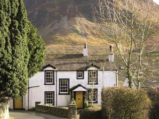
Holly Bank Cottage
Occupying an elevated place on the edge of Bassenthwaite Village, Holly Bank commands a breath-taking panoramic view taking in Skiddaw, Sale Fell, Lords Seat and the Borrowdale peaks. R...
Holly Bank
Occupying an elevated place on the edge of Bassenthwaite Village, Holly Bank commands a breath-taking panoramic view taking in Skiddaw, Sale Fell, Lords Seat and the Borrowdale peaks. R...
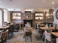
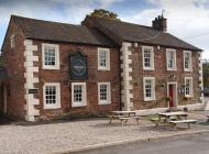
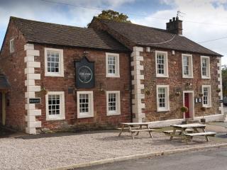
Lake District Castle Inn Hotel & Spa
Overlooking Lake Bassenthwaite, Lake District Castle Inn Hotel is ideally situated for exploring Keswick, the northern Lake District and the Cumbrian coast. The accommodation, extensive...
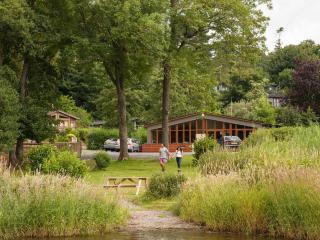
Bassenthwaite Lakeside Lodges
Overlooking Scarness Bay on the lake’s eastern shore, Bassenthwaite Lakeside Lodges offer classic Lake District National Park views in peaceful surroundings. Subject to strict condition...
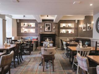
Places to eat nearby View all