Additional information
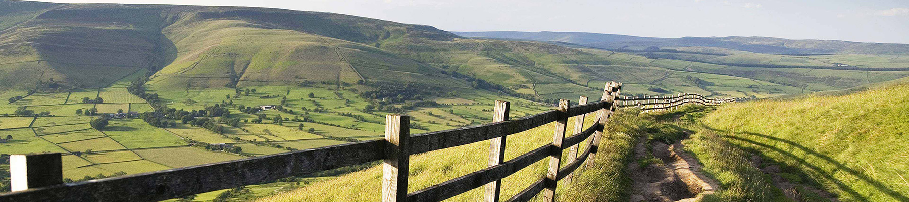
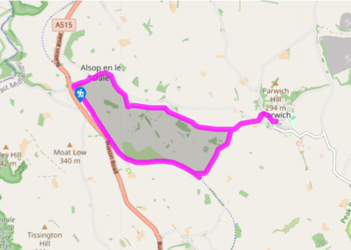
Terrain
- Field paths and firm trail, 18 stiles
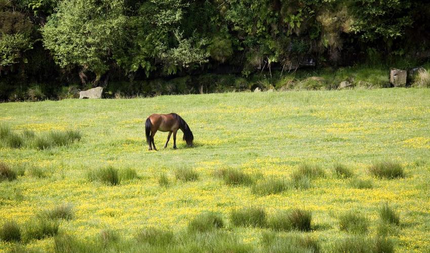
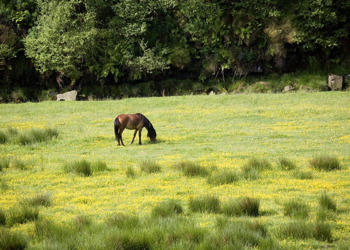
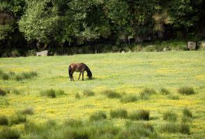
Landscape
- Rolling farmland
Dog friendliness
- On lead around livestock
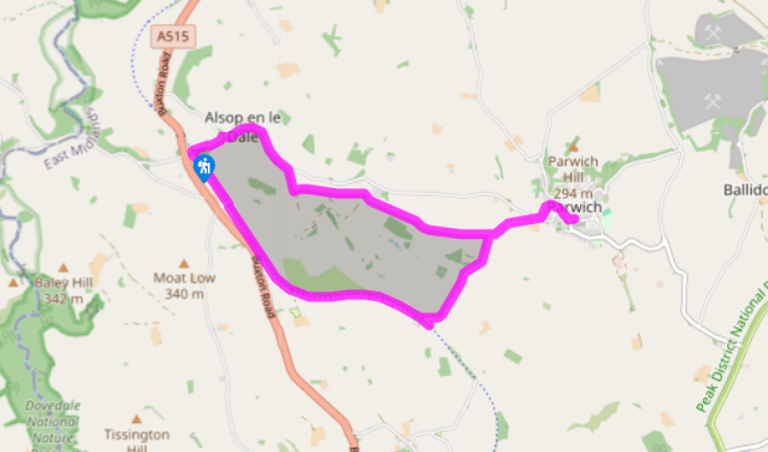
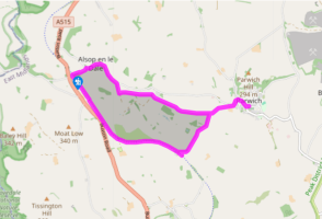
Parking
- Alsop Station pay car park
Toilets en route
- None on route, nearest at Tissington
About the walk
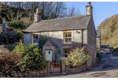
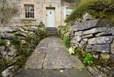
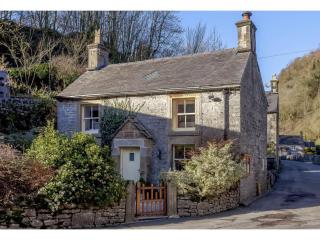
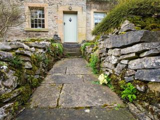
To describe Alsop en le Dale as a village may be to raise expectations, since it could just as well be called a hamlet, but nevertheless it’s a peaceful and charming location well away from the crowds of Dovedale. Even the noisy traffic of the nearby A515 seems far removed, although once the main... road came through here and stagecoaches no doubt rested before their long pull up towards Buxton. Perhaps not surprisingly a new route was eventually fashioned beyond Fenny Bentley, north of Ashbourne, that climbed steadily up to and then stayed on the higher ground, so avoiding the steep climb in and out of the Bradbourne valley to visit Alsop. The later railway-builders also followed suit, leaving Alsop a secluded backwater. Alsop Church The Church of St Michaels and All Angels dates back to Norman times and was once a dependency of the ‘mother’ church in Ashbourne. Indeed, the oak pulpit once belonged to a church in Ashbourne and was removed, it is assumed, with permission. The church still has a number of Norman features, including the doorway and window in the south wall, which like the other walls of this small building are surprisingly thick. The church was renovated in the early 1880s, when the tower was added, and in 2000 a new window was installed to commemorate the Millennium. Across the lane from the church is Alsop Hall, a splendid (and privately owned) Elizabethan manor house. A Remote Station For a community as small as Alsop, comprising one hall, three farms and four cottages, it seems remarkable that it once had its own railway station. Of course it also served other surrounding villages like Alstonefield, as well as allowing local farms to transport their milk to dairies. Both the station and platform at Alsop, opened in 1899, were simple affairs and made out of timber. These small stations or halts provided passing loops for the trains, since between Ashbourne and Parlsey Hay it was a single track line. As you will note, puffing up from Alsop to the finish of this walk at the site of the former station, it’s an undulating landscape and the railway-builders had to battle quite a gradient. Huge cuttings and embankments were necessary to enable the trains to make the long haul out of Ashbourne past Tissington and Alsop and across the high plateau of the southern Peak District, where then as now it’s a remote and unpopulated place. Not long after the line opened a train was derailed in snowy conditions and was marooned for three days. The engine crew were kept going thanks to hot food and drinks provided by local farmers.
Read more
Derbyshire
The natural features of this central English county range from the modest heights of the Peak District National Park, where Kinder Scout stands at 2,088 ft (636 m), to the depths of its remarkable underground caverns, floodlit to reveal exquisite Blue John stone. Walkers and cyclists will enjoy the High Peak Trail which extends from the Derwent Valley to the limestone plateau near Buxton, and for many, the spectacular scenery is what draws them to the area.