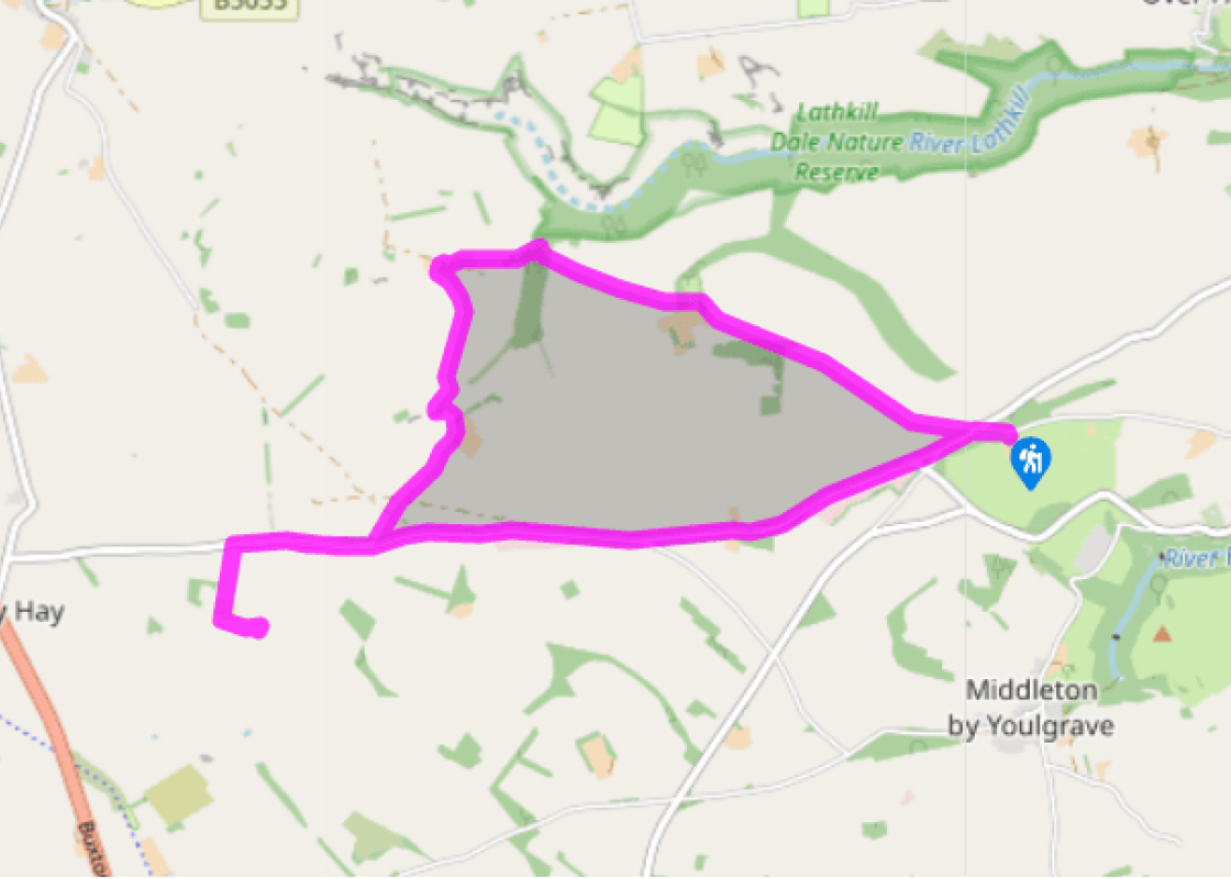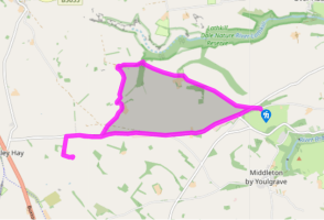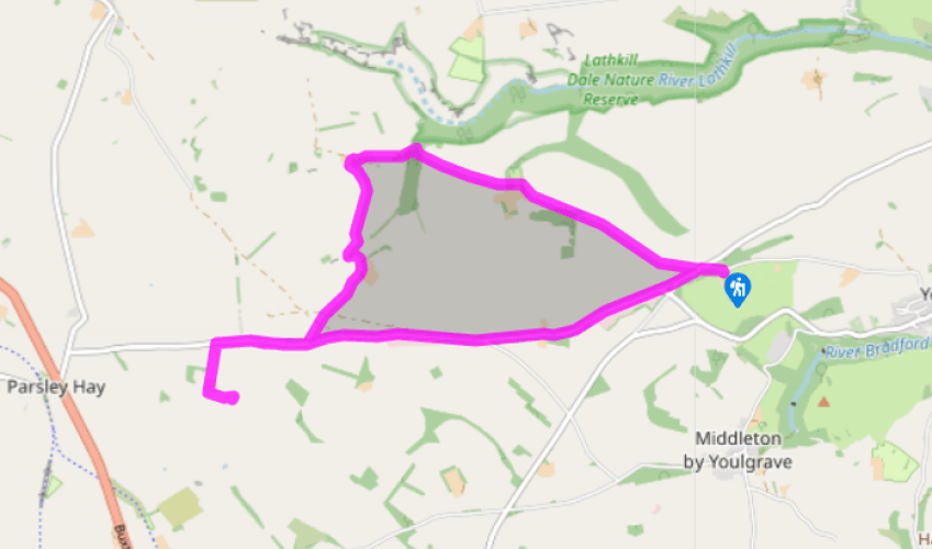
Arbor Low and Cales Dale
Recommended by

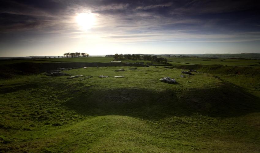
"Limestone dales lead to The Stonehenge of the North"
Walk directions
Exit the car park on Moor Lane, turn left and then follow the road to the T-junction. Cross the road, go through the gap in the wall, through a gate, and follow the Limestone Way across a field.
Bend diagonally right and cross three fields with two stiles in quick succession. Enter Low Moor Wood through a kissing gate in a stone wall.
View all directions
Additional information
Terrain
- Mostly well-defined paths, some road walking; limestone steps in Cales Dale can be very slippery when wet; a few stiles
Landscape
- Limestone dales and woodland
Dog friendliness
- Keep on lead on farmland, access land, country lane
Parking
- Moor Lane car park
Toilets en route
- None on route
About the walk
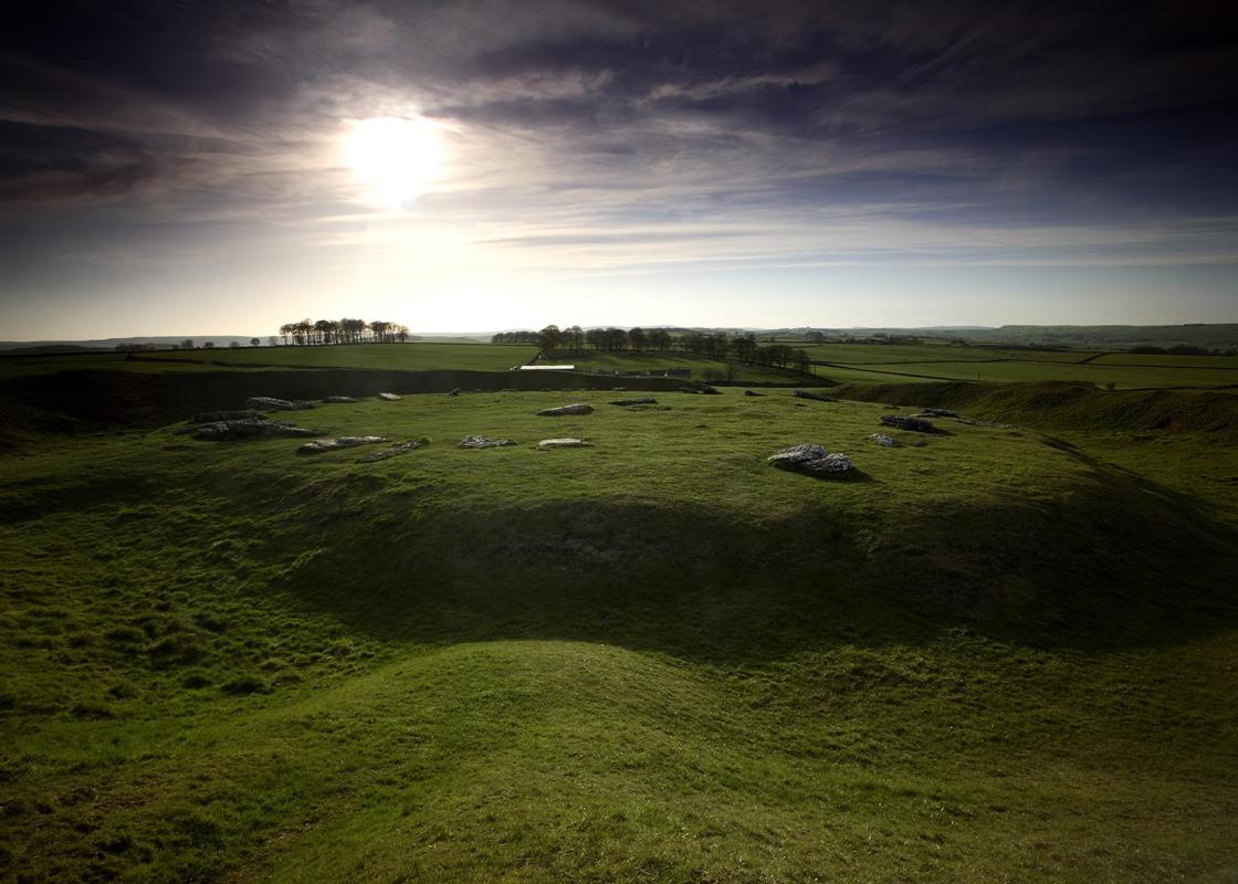
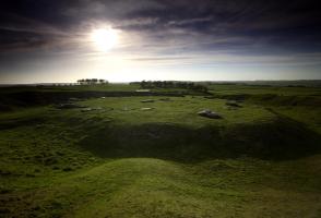
Arbor Low is probably one of the most important prehistoric monuments in Britain. Like other mysterious stone circles, no one really knows why it was built or what function it served. Various theories suggest that it may have been a giant astronomical calculator, a religious centre, a meeting place...
Read more

Been on this walk?
Send us photos or a comment about this route. Or recommend a route of your own.

Walking in Safety
Read our tips to look after yourself and the environment when following this walk.

Get an AA guide
Explore our range of ‘50 Walks in’ guides - they’re the ideal companion for a ramble.
Been on this walk?
Send us photos or a comment about this route. Or recommend a route of your own.
Walking in Safety
Read our tips to look after yourself and the environment when following this walk.
Get an AA guide
Explore our range of ‘50 Walks in’ guides - they’re the ideal companion for a ramble.
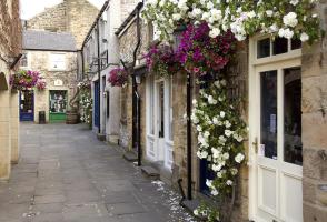
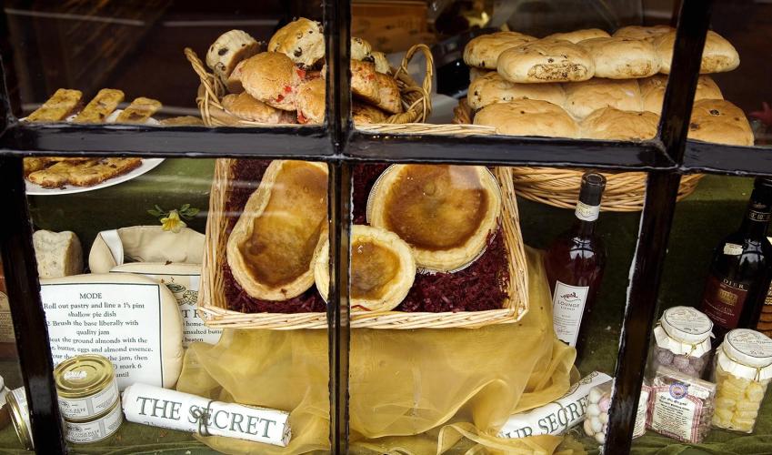
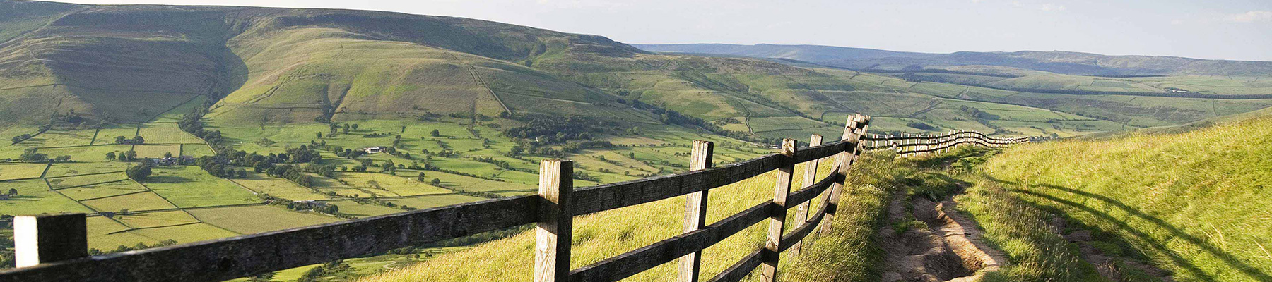
About the area
The natural features of this central English county range from the modest heights of the Peak District National Park, where Kinder Scout stands at 2,088 ft (636 m), to the depths of its remarkable underground caverns, floodlit to reveal exquisite Blue John stone. Walkers and cyclists will enjoy the High Peak Trail which extends from the Derwent Valley to the limestone plateau near Buxton, and for many, the spectacular scenery is what draws them to the area.
Nearby places to stay
View all (8)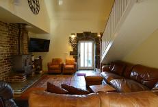


Nearby places to stay
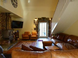
Spingle Barn
Situated on a hill farm in the Peak District village of Monyash, Spingle Barn makes a perfect base for hiking and biking. The property offers four bedrooms and a double height living ar...
Spingle Barn
Situated on a hill farm in the Peak District village of Monyash, Spingle Barn makes a perfect base for hiking and biking. The property offers four bedrooms and a double height living ar...
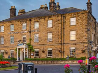
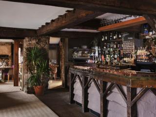
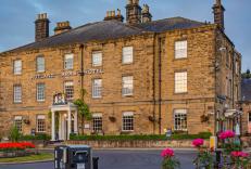
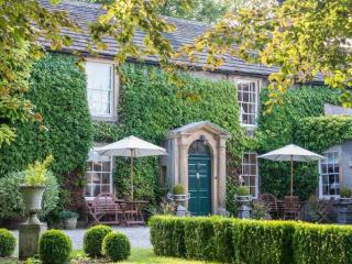
The Rutland Arms
The Rutland Arms is a historic coaching inn in the heart of Bakewell, within the Peak District National Park. It is ideally located for visiting Chatsworth, Haddon Hall, and surrounding...
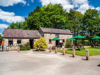
Greenhills Holiday Park
A well-established park nestled in beautiful countryside within the Peak District National Park. Many pitches enjoy uninterrupted views, and there is easy access to all facilities, incl...
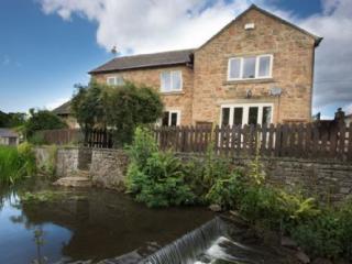
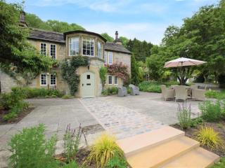
Millbrook house
Close to the River Wye, Millbrook House is a large detached house that sleeps eight. One major attraction is the small brook that runs along the bottom of the small garden. Inside, the ...
Millbrook House
Close to the River Wye, Millbrook House is a large detached house that sleeps eight. One major attraction is the small brook that runs along the bottom of the small garden. Inside, the ...
Rafters at Riverside House
Set in the picturesque village of Ashford in the Water, Rafters offers attractive bedrooms in the main house and garden wing; all spacious and comfortably appointed. There is a bar, com...
Rookery Cottage
Rookery Cottage is a charming detached stone cottage in the Peak District village of Ashford-in-the-Water, near Bakewell. Sleeping up to six guests, it combines character features inclu...
Places to eat nearby View all