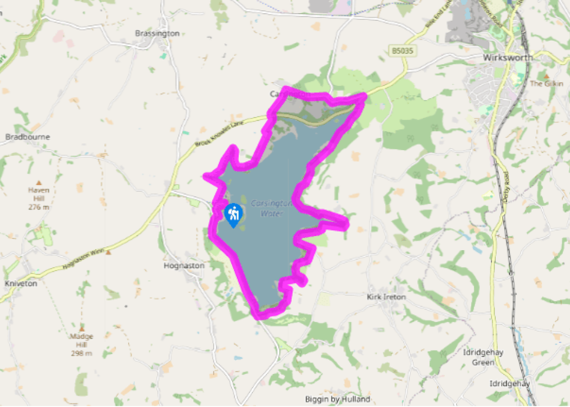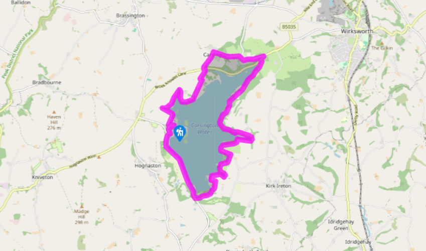
Around Carsington Water
From the visitor centre follow the popular, signposted route southwards past the children’s play area and sailing club to cross the huge dam. On the far side go left to visit the viewing area near the valve tower if you wish. Continue along the main route a little further before turning left into the car park and picnic site at Millfields.
Head out of the far end of the car park, following the orange footprint waymarkers for the walking route along the eastern shore of the reservoir. Go past the Stone Shelter with its unusual collection of wooden furnishings. When you reach a tarmac lane by Upperfields Farm turn left, then right for the continuation of the route.

Been on this walk?
Send us photos or a comment about this route. Or recommend a route of your own.

Walking in Safety
Read our tips to look after yourself and the environment when following this walk.

Get an AA guide
Explore our range of ‘50 Walks in’ guides - they’re the ideal companion for a ramble.
Been on this walk?
Send us photos or a comment about this route. Or recommend a route of your own.
Walking in Safety
Read our tips to look after yourself and the environment when following this walk.
Get an AA guide
Explore our range of ‘50 Walks in’ guides - they’re the ideal companion for a ramble.
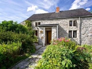
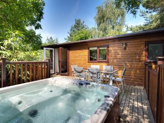
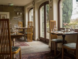
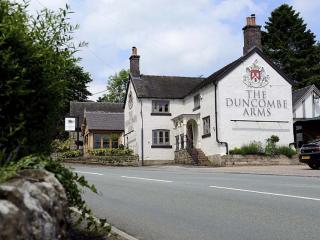
Nearby places to stay
View all (8)