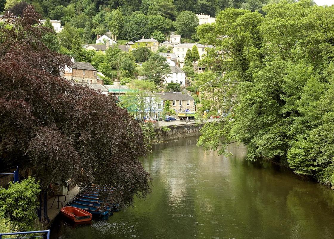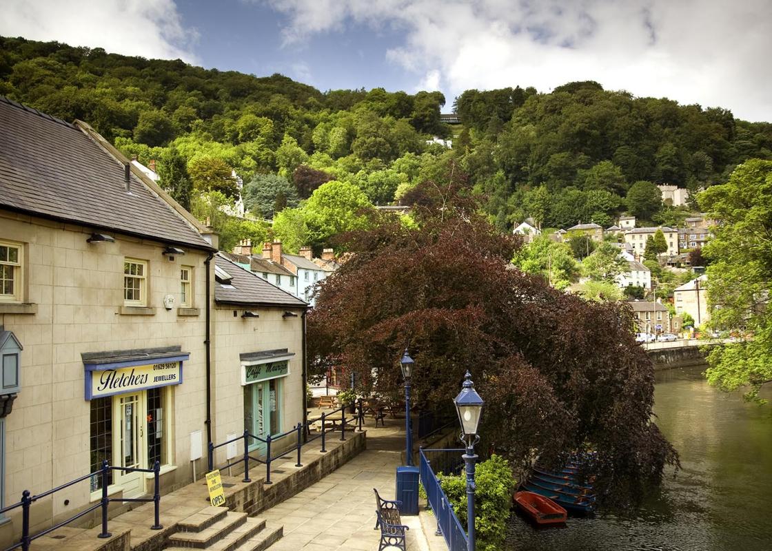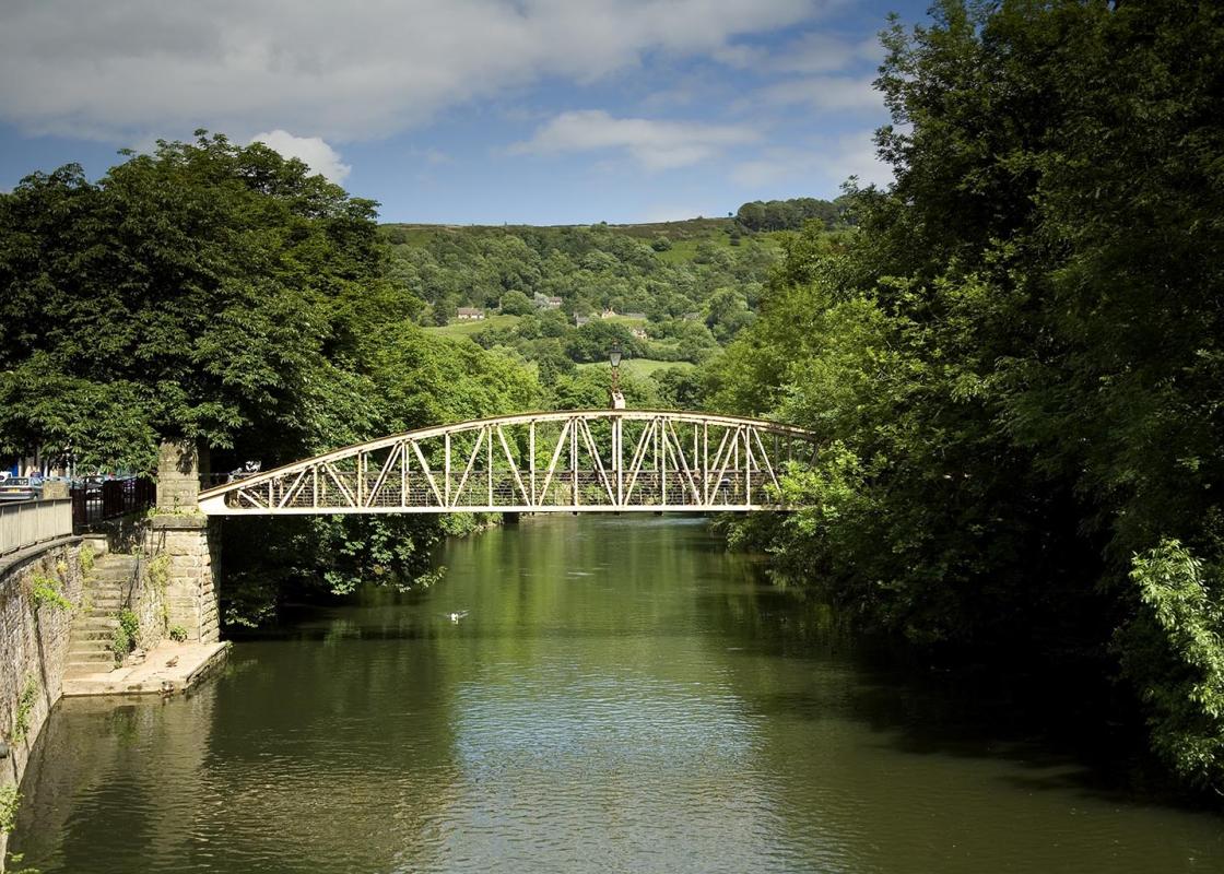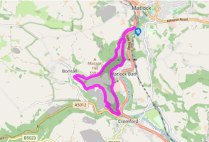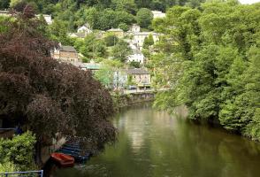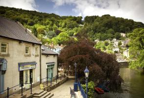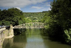
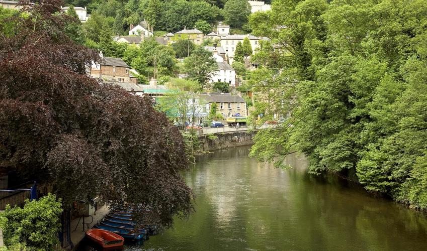
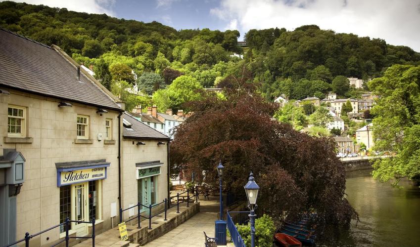
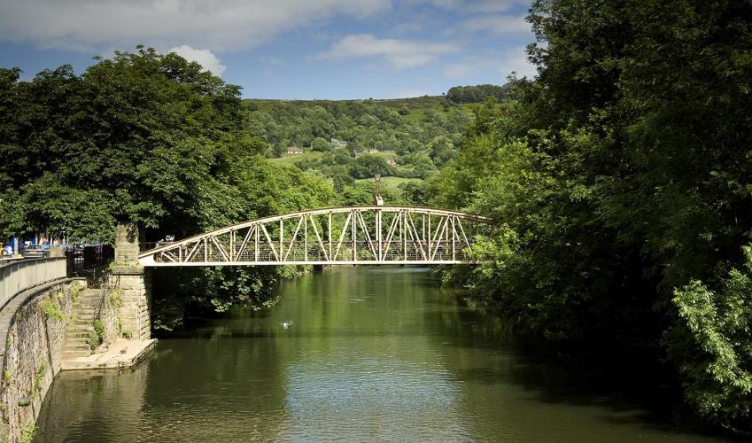
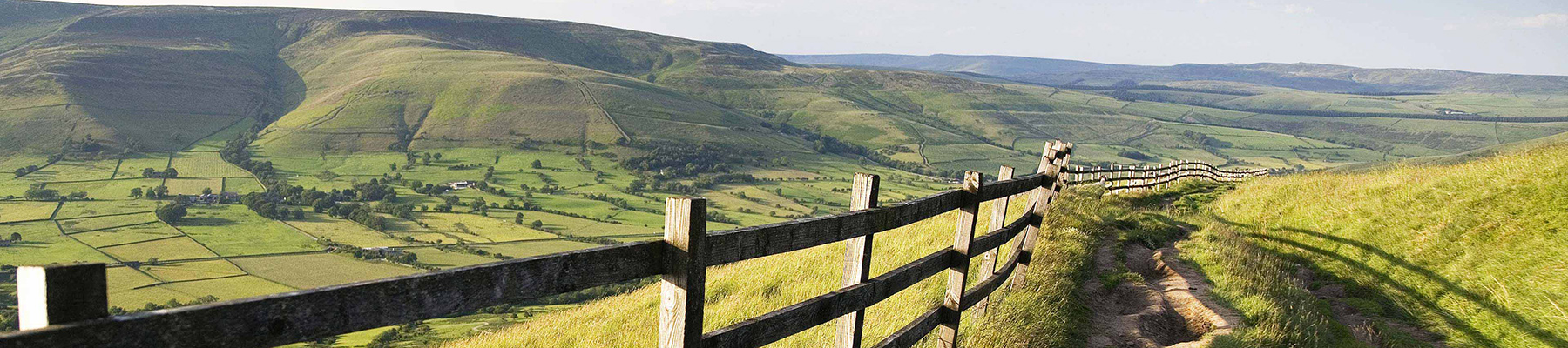
Matlock Bath and the Heights of Abraham
Recommended by

"Wander high up above Matlock's gorge on a shady walk that's perfect on a hot summer's day"
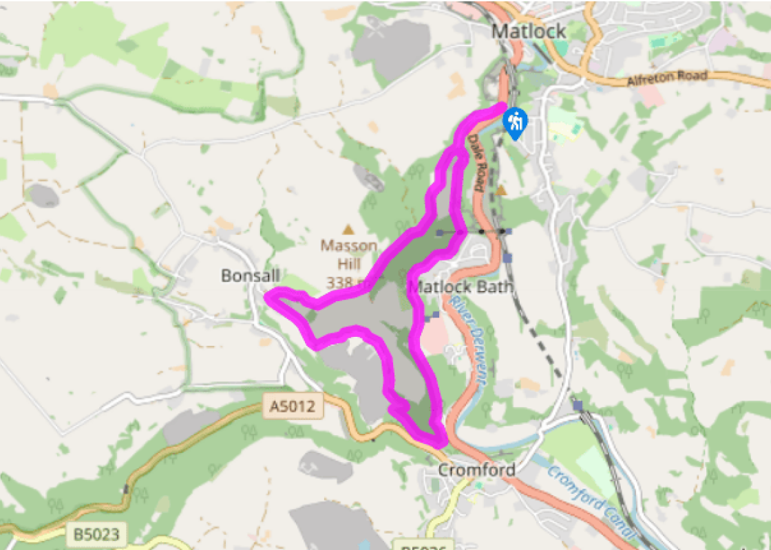
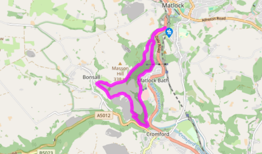
Walk directions
From the north end of the car park, cross the A6 and take St John’s Road up the wooded slopes opposite. Fork right as the road divides, heading uphill and below St John’s Chapel to the gates of Cliffe House. Take a footpath immediately right of the gates; this climbs steeply through the woods before running along the field edge above a farm.
As views open out directly opposite Riber Castle, and with Victoria Prospect Tower directly ahead, the waymarked path swings right and climbs up to the top of the field. The footpath threads through mixed deciduous woodland (which can be muddy underfoot if wet) and a grassy field, before reaching one of the entrances to the Heights of Abraham complex.
View all directions
Additional information
Terrain
- Narrow limestone woodland paths, field paths, stone tracks and tarmac lanes, may be muddy, several stiles
Landscape
- Fields and wooded hillsides
Dog friendliness
- Dogs on lead on farmland and access land; usual controls in town
Parking
- Pay car park at Artists Corner
Toilets en route
- In Bonsall and near bridge to Matlock Bath railway station
About the walk

Been on this walk?
Send us photos or a comment about this route. Or recommend a route of your own.

Walking in Safety
Read our tips to look after yourself and the environment when following this walk.

Get an AA guide
Explore our range of ‘50 Walks in’ guides - they’re the ideal companion for a ramble.
Been on this walk?
Send us photos or a comment about this route. Or recommend a route of your own.
Walking in Safety
Read our tips to look after yourself and the environment when following this walk.
Get an AA guide
Explore our range of ‘50 Walks in’ guides - they’re the ideal companion for a ramble.
About the area
The natural features of this central English county range from the modest heights of the Peak District National Park, where Kinder Scout stands at 2,088 ft (636 m), to the depths of its remarkable underground caverns, floodlit to reveal exquisite Blue John stone. Walkers and cyclists will enjoy the High Peak Trail which extends from the Derwent Valley to the limestone plateau near Buxton, and for many, the spectacular scenery is what draws them to the area.
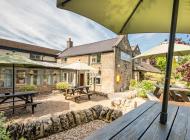
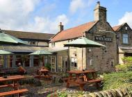
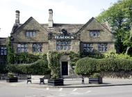
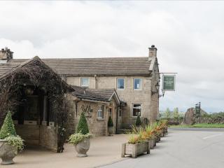
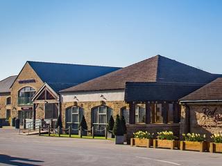
Nearby places to stay
View all (8)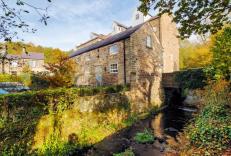


Nearby places to stay
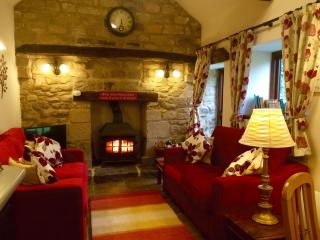
Carpenter's Cottage
Ideal for a family holiday, this spacious, welcoming cottage is located on the Derbyshire Dales. There are amazing views down the valley towards Matlock and across the hills, and the co...
Carpenter's Cottage
Ideal for a family holiday, this spacious, welcoming cottage is located on the Derbyshire Dales. There are amazing views down the valley towards Matlock and across the hills, and the co...
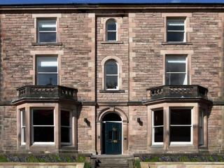
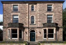
Portland House
Portland House is a large Victorian holiday home in historic Matlock Bath. Large groups can be easily accommodated, in the mostly en suite bedrooms, delightful dining room, sitting room...
Portland House
Portland House is a large Victorian holiday home in historic Matlock Bath. Large groups can be easily accommodated, in the mostly en suite bedrooms, delightful dining room, sitting room...
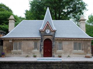
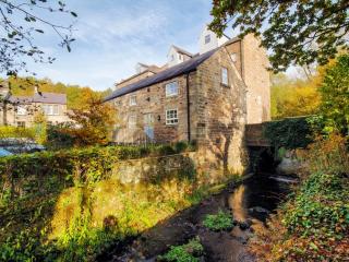
The Waiting Room Holiday Cottage
This truly unique building has original features like cast-iron diamond windows, vaulted ceilings and a stone fireplace. It’s a very cosy stay, and was built in the mid-19th century. Th...
The Waiting Room Holiday Cottage
This truly unique building has original features like cast-iron diamond windows, vaulted ceilings and a stone fireplace. It’s a very cosy stay, and was built in the mid-19th century. Th...
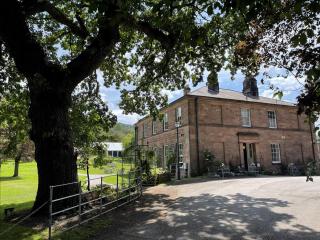
Oakhill
Oakhill is a beautiful Georgian-style, Grade II listed house built by the Arkwright family in the mid-19th Century with many original features remaining. The family-owned boutique hotel...
Holestone Moor Barns
Holestone Moor Barns sleep four and 12 in seven bedrooms, situated in the Derbyshire countryside, alongside the Peak District National Park. The barns are set in six-acre grounds that i...
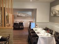
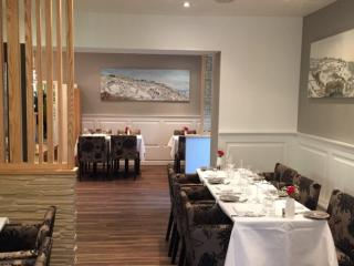
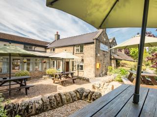
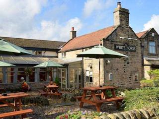
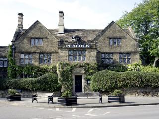
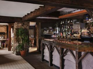
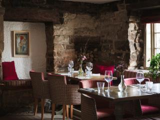
Places to eat nearby View all