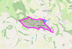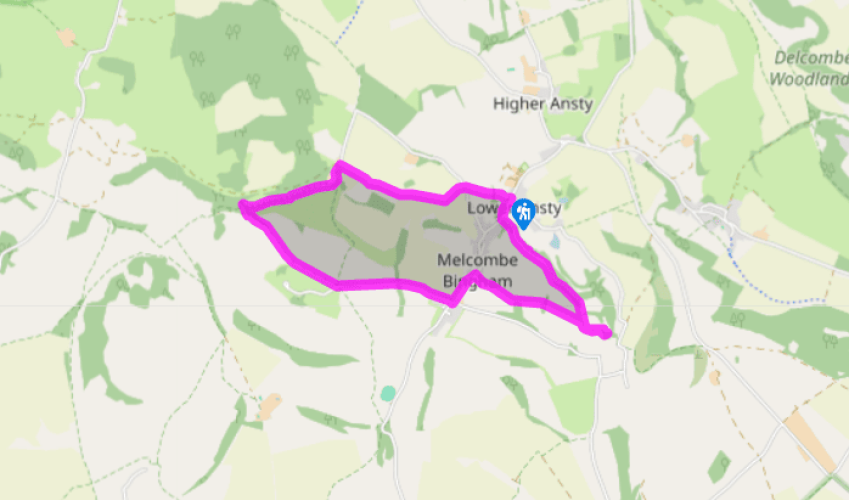
Higher Melcombe and the Binghams
Recommended by

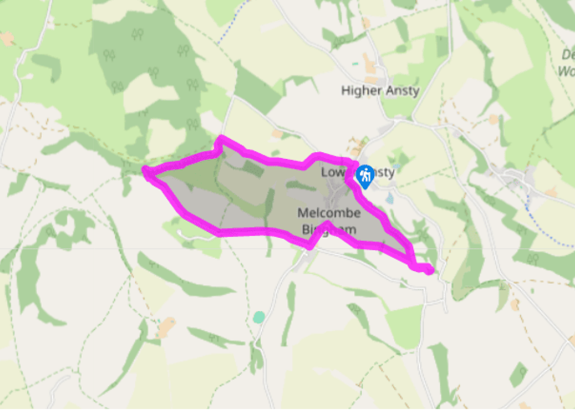
Walk directions
Leave the parking area and turn left up the road, then go immediately left over a stile and down a waymarked path. Cross a stile, bear down the right edge of the field and cross a stile at the bottom. Continue straight up the next field. Cross a stile and road to go through a gate. Keep straight on, aiming just to the right of an electricity pole in the hedge to reach a pair of stiles in that hedge.
Go over these stiles then bear diagonally across the field, in line with the farmhouse on the skyline, to leave by the far corner. Keep forward in the next field beside a hedge, then go through a gate at the top and go slightly right to the fingerpost and gate just to the right of the farmhouse.
View all directions
Additional information
Terrain
- Farmland, woodland track, ancient bridleway, road
Landscape
- Gently rolling farmland, little lumpy hills, village
Dog friendliness
- Some road walking, one unfriendly stile
Parking
- Small parking area on north side of village hall
Toilets en route
- None on route
About the walk
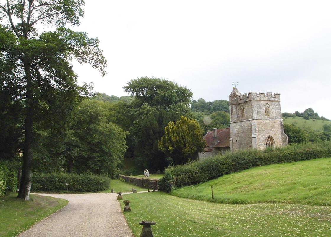
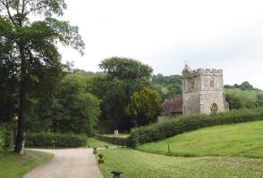
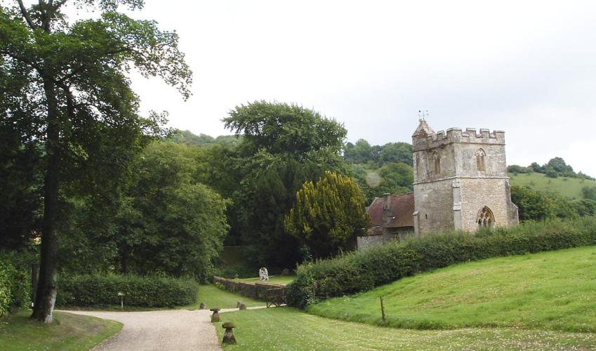
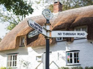
Be prepared for confusion on this walk: it passes Higher Melcombe and then goes through Melcombe Bingham to Binghams Melcombe, which is also known as Melcombe Horsey. And Melcombe Horsey was the name of a village at Higher Melcombe that has now disappeared. Got that? There has been a church at...
Read more

Been on this walk?
Send us photos or a comment about this route. Or recommend a route of your own.

Walking in Safety
Read our tips to look after yourself and the environment when following this walk.

Get an AA guide
Explore our range of ‘50 Walks in’ guides - they’re the ideal companion for a ramble.
Been on this walk?
Send us photos or a comment about this route. Or recommend a route of your own.
Walking in Safety
Read our tips to look after yourself and the environment when following this walk.
Get an AA guide
Explore our range of ‘50 Walks in’ guides - they’re the ideal companion for a ramble.
About the area
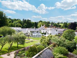
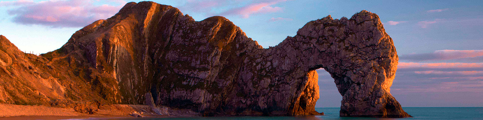
Dorset is made up of rugged coastlines, high chalk downlands and a chain of picturesque villages and seaside towns that make up Britain’s Jurassic Coast, a UNESCO World Heritage Site and Area of Outstanding Natural Beauty, noted for its layers of shale and numerous fossils embedded in the rock. Hidden gems of Dorset can be found down winding, country lanes that lead to snug villages hidden from view.
Nearby places to stay
View all (8)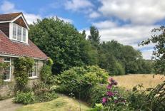

Nearby places to stay
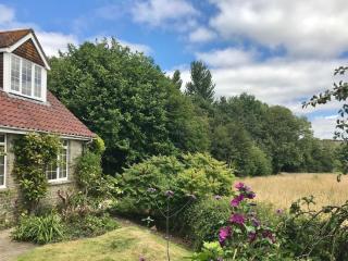
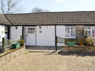
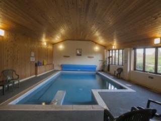
Greygles Cottage
This lovely cottage will be a hit with literature buffs keen to explore the Dorset countryside immortalised by Thomas Hardy in his novels. It’s also in prime walking country, a mile fro...
Greygles
This lovely cottage will be a hit with literature buffs keen to explore the Dorset countryside immortalised by Thomas Hardy in his novels. It’s also in prime walking country, a mile fro...
Luccombe Country Holidays
The 11 cottages that form Luccombe Country Holidays are located in a hidden valley tucked away deep in the Dorset countryside, close to the Jurassic Coast. Part of a 650-acre working fa...
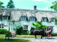
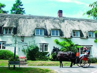
The Brace of Pheasants
Situated in the heart of Dorset, The Brace of Pheasants is a picturesque thatched pub that offers a warm and genuine welcome to both visitors and locals alike. Very much a traditional i...
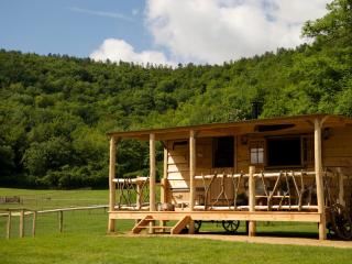
Loose Reins
A chance to embrace the pioneer spirit in charming frontier-style porched cedar cabins and canvas lodges in a great location near Shillingstone in Dorset. Comfort assured, with fully eq...
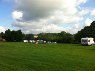
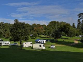
Giants Head Caravan & Camping Park
A pleasant and unspoilt park set in Dorset downlands near the Cerne Giant (the famous landmark figure cut into the chalk) and with stunning views. There are smart toilet and shower bloc...
The Inside Park
The Inside Park has been established for over 30 years, and its secluded 14 acres of park and woodland sees a lot of return visitors. Containing many fine specimen trees, the park and i...

Toad Hall Cottage
Awaiting description...
Places to eat nearby View all