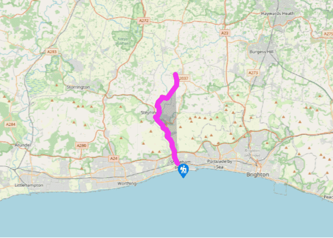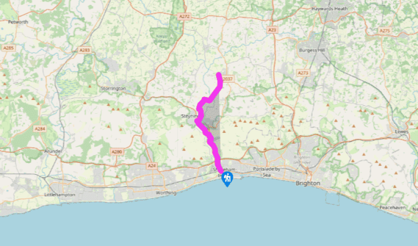
Downs Link: Shoreham to Henfield
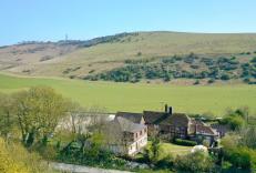
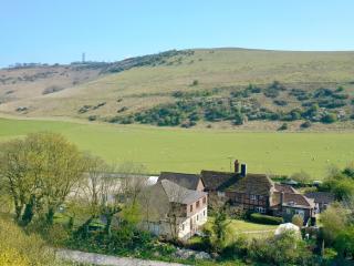
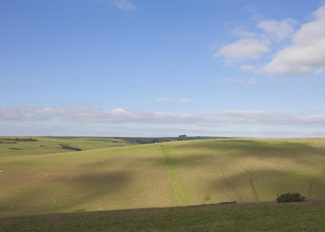
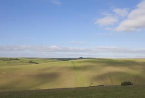
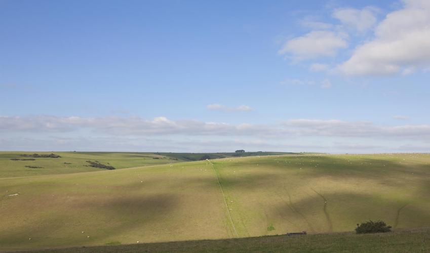
The Downs Link begins in Old Shoreham in the northwest corner of Shoreham-by-Sea not far from the roar of the A27 and to the south of the South Downs Way. Picnic tables and an information board beside a bridge over the River Adur, just to the west of the Red Lion Inn, mark the starting point. Do not cross the bridge but strike north along the river and under the A27, with Arundel’s Catholic cathedral providing a dramatic view away to the left. After approximately 2.5 miles (4km) the route briefly joins the South Downs way, crossing the river by a footbridge. Continue along the left bank of the Adur, veering away from it on the South Downs Way as the Adur bends to the right. This point is identified on the map as Botolphs, now no more than an isolated church and a handful of houses. The archaeological evidence in surrounding fields suggests that this was once a thriving community, brought down, like so many other lost villages, by a combination of the Black Death, famine and a general decline in prosperity. The tiny church retains features of its Saxon origins, including a chancel arch and a window in the south wall of the nave. Leave the South Downs Way by turning off right, as clearly indicated by a signpost, to walk along a fairly straight track.
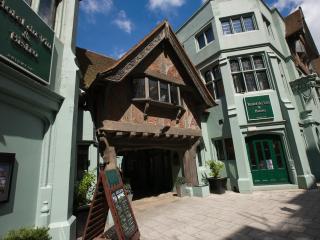
Cross the Bramber bypass and turn left along a gravel track on a wide grass verge. At a roundabout, follow Castle Lane, opposite. Bramber Castle, to the right, deserves a detour. Having walked 500yds (460m) along Castle Lane, which becomes Roman Road. Turn right into King’s Stone Avenue. This ends at a junction with King’s Barn Lane. To visit Steyning, a delightful village, turn left.

Been on this walk?
Send us photos or a comment about this route. Or recommend a route of your own.

Walking in Safety
Read our tips to look after yourself and the environment when following this walk.

Get an AA guide
Explore our range of ‘50 Walks in’ guides - they’re the ideal companion for a ramble.
Been on this walk?
Send us photos or a comment about this route. Or recommend a route of your own.
Walking in Safety
Read our tips to look after yourself and the environment when following this walk.
Get an AA guide
Explore our range of ‘50 Walks in’ guides - they’re the ideal companion for a ramble.
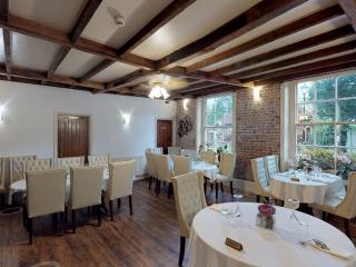
Nearby places to stay
View all (8)