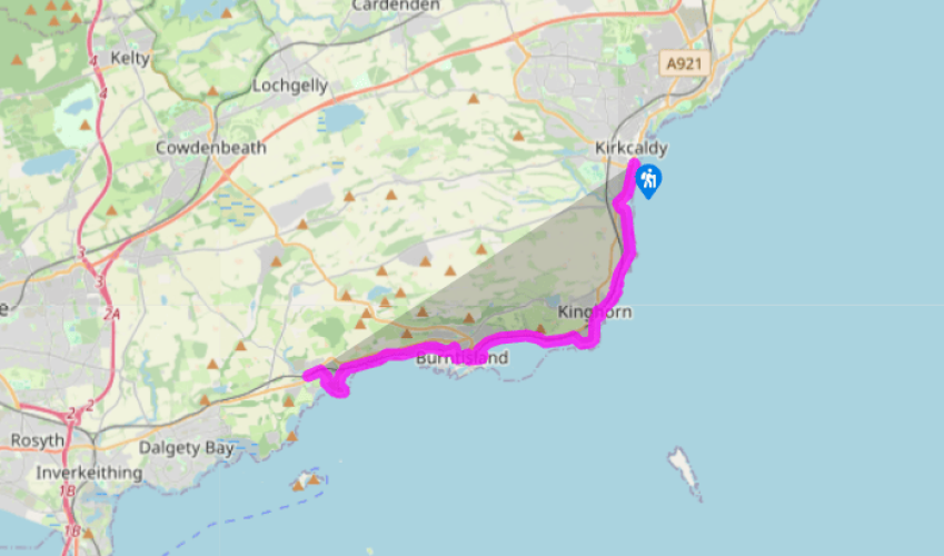
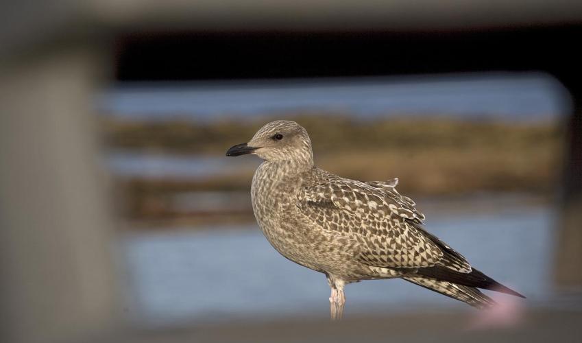
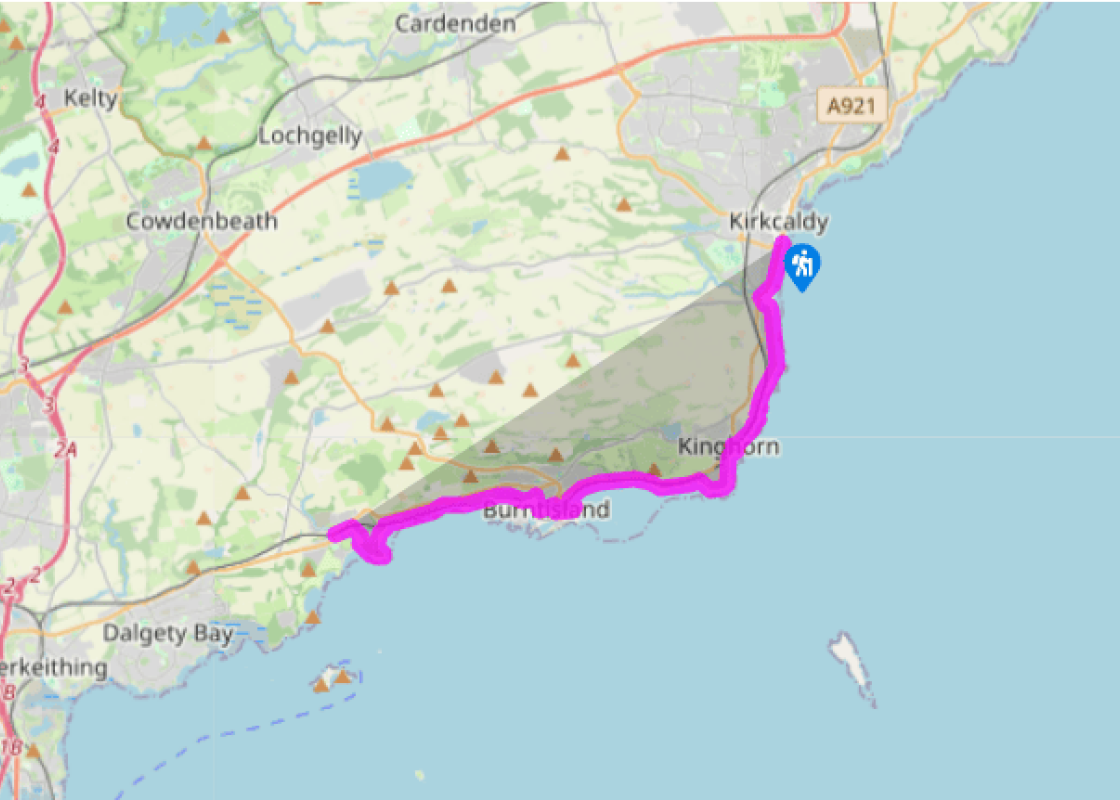
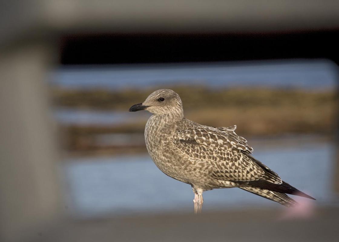
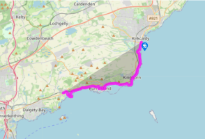
After the walk along Kirkcaldy’s promenade (or on the fine sands), cross the Teil Burn by the A921 bridge. The road bends inland; pass a large supermarket and take the lane on the left alongside its car park, down to Seafield Beach. Ahead is the site of Seafield Colliery. From here the walk runs between the sea and the railway line for nearly 3 miles (5km) towards Kinghorn, passing the ruined 15th-century Seafield Tower. Seals can often be seen on the offshore rocks on this stretch.
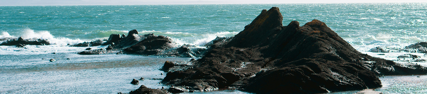
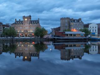
The path runs past jumbly foreshore rocks of black basalt, then eases uphill to run alongside the railway as it enters Kinghorn. The name may mean ‘head of the corner’: the coast does take a swing from south to west here, round Pettycur, which was once an important trading harbour. Take the path between the caravan park and the railway line, pass under the railway and go through a playpark to the road leading down, back under the railway viaduct, to the attractive small harbour.
Turn right, past the café and lifeboat station, to zig-zag up stepped paths. At the slope top turn briefly left, then right to pass inland through the town. At the first street wiggle left-right into David The First Street, crossing the railway to the A921 road.
It is best to follow the A921 to Burntisland. The shore can be walked at low tide but it is slow going. The road walk has first views of the distant Forth bridges, and passes the tall monument to King Alexander III.
Burntisland gets its name from times when the land was indeed burnt, to improve its productivity. Turn down Lochies Road to the beach, and then follow the promenade to the Beacon Leisure Centre. Turn inland behind the leisure centre, recrossing the railway to reach the end of the High Street. Turn left along this; before a railway bridge the main street turns up and over a hill. At the slope foot, turn left on a tarmac path alongside Haugh Road. After 0.25 mile (400m) this path joins the railway.
From here to Aberdour there is a good path all the way, initially on the landward side of the railway, running into woods and crossing the Starley Falls. The area is noted for its liverworts; flat seaweed-like plants. The path crosses to the railway's seaward side, and continues to Silversands Bay, a popular picnic area, then above Hawkcraig Cliffs with good views of Inchcolm, another of the Forth islands. Walk round the attractive harbour at Aberdour, then up Shore Road into the village. Here the Coast Path turns left, while the railway station is to your right.
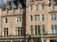
The coast from Kirkcaldy past Burntisland is the most built-up section of the Coastal Path, with concrete walkways, old collieries, and a modern leisure centre to swim in (for those who find the sea too untidy). But these are merely the modern add-ons to the ancient Scottish story... Tower Houses ... The name Kinghorn has nothing to do with kings – it's from Gaelic, meaning 'boggy headland' or else 'headland of the corner'. But the place was indeed kingly, with a royal castle (now vanished) overlooking the seaways of the Forth. In rivalry, Aberdour Castle was a stronghold of the mighty Douglas family. Its 800-year-old tower house makes it either the oldest or second oldest Scottish castle still standing. Further east up the coast, Seafield Tower dates from the 16th Century and was originally 5 stories high. It is just one of the old strong places that mark off the Fife coastline every three or four miles. Back into Viking times, such towers were good as lookouts to see enemies arriving by sea, and equally good to take refuge in when they did. King over the cliff It was in 1286 that King Alexander III took a late ferry across the Forth to Burntisland, then rode towards his castle at Kinghorn to visit his wife. His horse stumbled in the dark, and the King went over the cliff. This accident was particularly ill-timed. As Andrew of Wyntoun wrote in his Orygynale Cronykil [original chronicle] of Scotland: Quhen Alysandyr oure kyng was dede, That Scotland led in luve and le, Away was sons of ale and brede, Of wyne and wax of gamyn and gle. [When Alexander our king was dead, that led Scotland in love and shelter, away was good comfort of ale and bread, of wine and wax, of games and of glee.] Alexander's reign had been good for his country, bringing prosperity typified in the luxury of beeswax for candles instead of dim and smoky tallow dips. His death left Scotland leaderless at a time when the English state was especially strong and confident. Alexander's only heir was the Maid of Norway, an infant granddaughter who wasn't even in the country. When Edward I of England was asked for advice, his suggestion was that he himself should rule Scotland through various puppet kings such as John Balliol, nicknamed Toom Tabard or 'empty coat'. This set off the Scottish Wars of Independence, culminating in 1314 with Bruce's victory at Bannockburn.
This 20-mile wide peninsula between the Firth of Forth and the Firth of Tay is an ancient kingdom, once the home of Scotland’s kings and saints. Despite its modern bridges it still seems curiously detached from the rest of the country.
After the walk along Kirkcaldy’s promenade (or on the fine sands), cross the Teil Burn by the A921 bridge. The road bends inland; pass a large supermarket and take the lane on the left alongside its car park, down to Seafield Beach. Ahead is the site of Seafield Colliery. From here the walk runs between the sea and the railway line for nearly 3 miles (5km) towards Kinghorn, passing the ruined 15th-century Seafield Tower. Seals can often be seen on the offshore rocks on this stretch.
1 of 5
The path runs past jumbly foreshore rocks of black basalt, then eases uphill to run alongside the railway as it enters Kinghorn. The name may mean ‘head of the corner’: the coast does take a swing from south to west here, round Pettycur, which was once an important trading harbour. Take the path between the caravan park and the railway line, pass under the railway and go through a playpark to the road leading down, back under the railway viaduct, to the attractive small harbour.
2 of 5
Turn right, past the café and lifeboat station, to zig-zag up stepped paths. At the slope top turn briefly left, then right to pass inland through the town. At the first street wiggle left-right into David The First Street, crossing the railway to the A921 road.
It is best to follow the A921 to Burntisland. The shore can be walked at low tide but it is slow going. The road walk has first views of the distant Forth bridges, and passes the tall monument to King Alexander III.
3 of 5
Burntisland gets its name from times when the land was indeed burnt, to improve its productivity. Turn down Lochies Road to the beach, and then follow the promenade to the Beacon Leisure Centre. Turn inland behind the leisure centre, recrossing the railway to reach the end of the High Street. Turn left along this; before a railway bridge the main street turns up and over a hill. At the slope foot, turn left on a tarmac path alongside Haugh Road. After 0.25 mile (400m) this path joins the railway.
4 of 5
From here to Aberdour there is a good path all the way, initially on the landward side of the railway, running into woods and crossing the Starley Falls. The area is noted for its liverworts; flat seaweed-like plants. The path crosses to the railway's seaward side, and continues to Silversands Bay, a popular picnic area, then above Hawkcraig Cliffs with good views of Inchcolm, another of the Forth islands. Walk round the attractive harbour at Aberdour, then up Shore Road into the village. Here the Coast Path turns left, while the railway station is to your right.
The coast from Kirkcaldy past Burntisland is the most built-up section of the Coastal Path, with concrete walkways, old collieries, and a modern leisure centre to swim in (for those who find the sea too untidy). But these are merely the modern add-ons to the ancient Scottish story... Tower Houses ... The name Kinghorn has nothing to do with kings – it's from Gaelic, meaning 'boggy headland' or else 'headland of the corner'. But the place was indeed kingly, with a royal castle (now vanished) overlooking the seaways of the Forth. In rivalry, Aberdour Castle was a stronghold of the mighty Douglas family. Its 800-year-old tower house makes it either the oldest or second oldest Scottish castle still standing. Further east up the coast, Seafield Tower dates from the 16th Century and was originally 5 stories high. It is just one of the old strong places that mark off the Fife coastline every three or four miles. Back into Viking times, such towers were good as lookouts to see enemies arriving by sea, and equally good to take refuge in when they did. King over the cliff It was in 1286 that King Alexander III took a late ferry across the Forth to Burntisland, then rode towards his castle at Kinghorn to visit his wife. His horse stumbled in the dark, and the King went over the cliff. This accident was particularly ill-timed. As Andrew of Wyntoun wrote in his Orygynale Cronykil [original chronicle] of Scotland: Quhen Alysandyr oure kyng was dede, That Scotland led in luve and le, Away was sons of ale and brede, Of wyne and wax of gamyn and gle. [When Alexander our king was dead, that led Scotland in love and shelter, away was good comfort of ale and bread, of wine and wax, of games and of glee.] Alexander's reign had been good for his country, bringing prosperity typified in the luxury of beeswax for candles instead of dim and smoky tallow dips. His death left Scotland leaderless at a time when the English state was especially strong and confident. Alexander's only heir was the Maid of Norway, an infant granddaughter who wasn't even in the country. When Edward I of England was asked for advice, his suggestion was that he himself should rule Scotland through various puppet kings such as John Balliol, nicknamed Toom Tabard or 'empty coat'. This set off the Scottish Wars of Independence, culminating in 1314 with Bruce's victory at Bannockburn.
This 20-mile wide peninsula between the Firth of Forth and the Firth of Tay is an ancient kingdom, once the home of Scotland’s kings and saints. Despite its modern bridges it still seems curiously detached from the rest of the country.