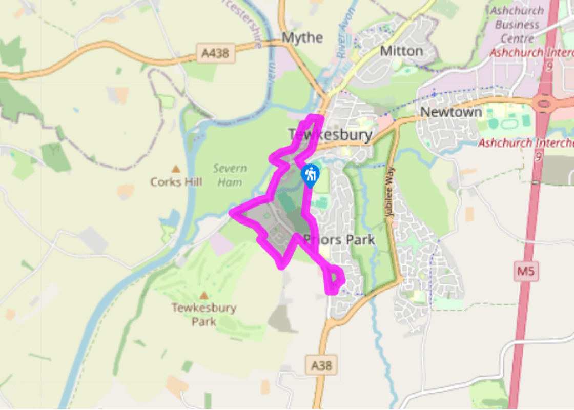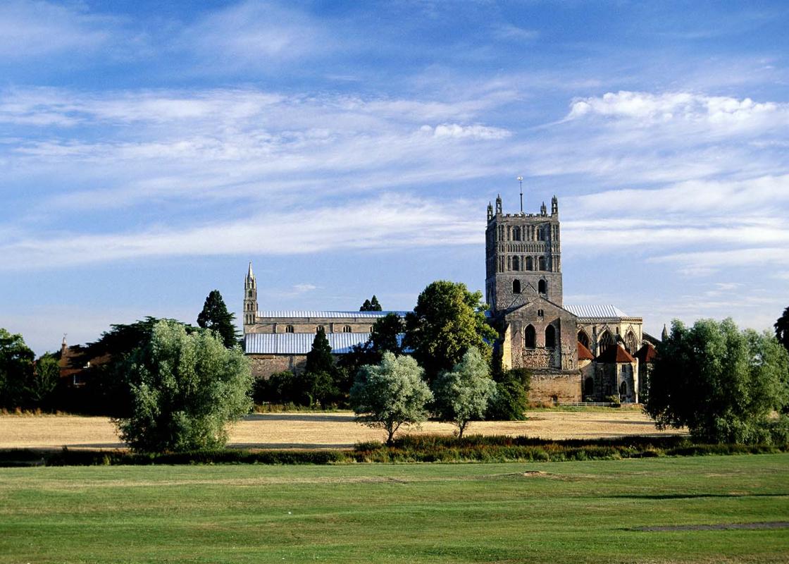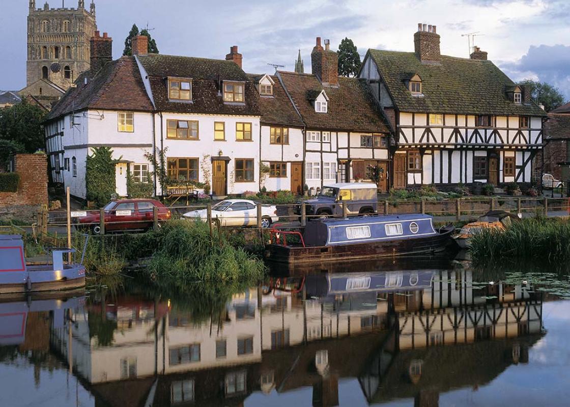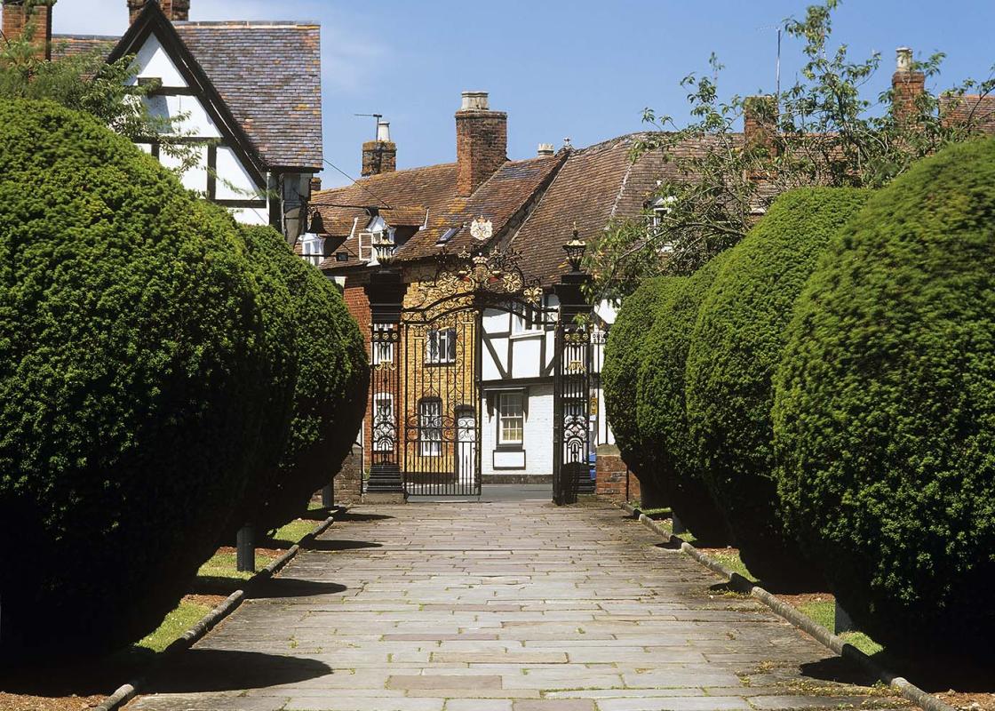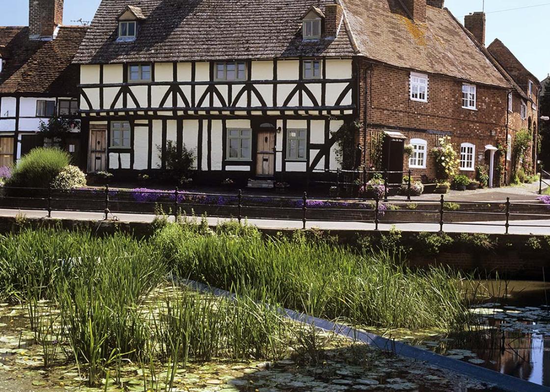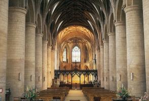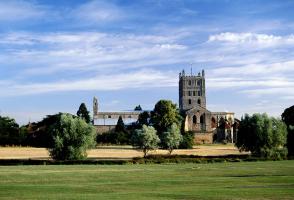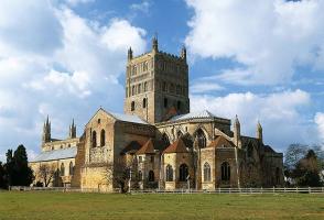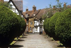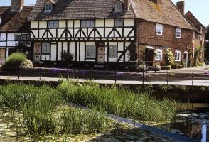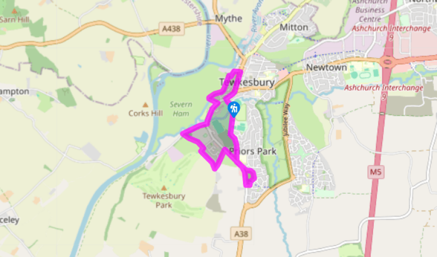
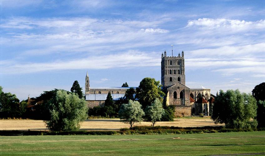
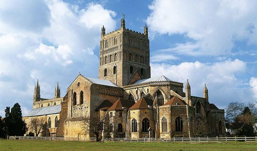
A circuit of Tewkesbury
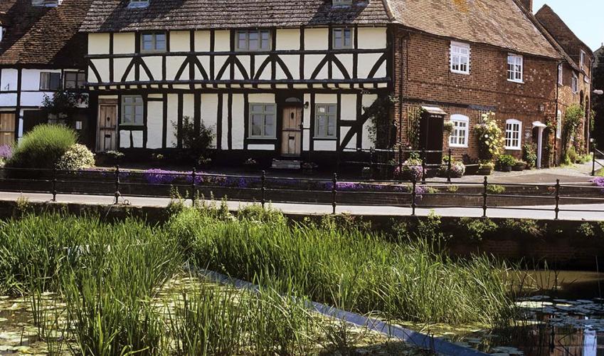
Walk away from Tewkesbury Abbey and the town centre. Cross the River Swilgate and continue to a pair of iron gates. Stay on the tarmac path as it traverses the area known as The Vineyards, where the monks of the abbey once cultivated grapes. It’s now an open grassy area, home to several sports clubs. Notice a commemorative plinth on your right and keep to the left of the cemetery. Soon reach a road, cross into Conigree Lane, then turn immediately right, taking the path that runs to the left of houses. This will bring you to Gloucester Road, at a point where a wing of the Yorkist army stood.
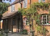
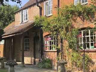
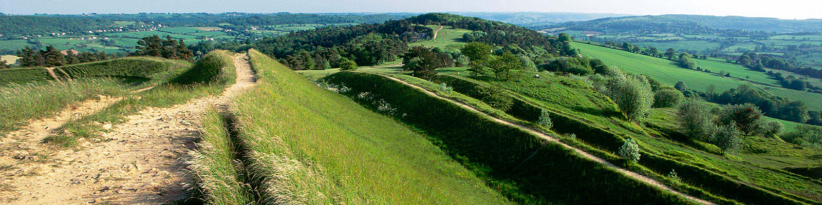
Turn left along the pavement. Walk 100yds (91m) beyond a bus stop, then turn left along a path, towards houses. At the end swing right to follow another path, turning left at a corner. This brings you to a gate on your right into Margaret’s Camp. The field, named after Margaret of Anjou, is believed to be where the Lancastrian army bivouacked before the battle. Keep ahead and cross the field to a gate on the far side. Turn right along a cycle path, return to Gloucester Road and turn right again, passing Gupshill Manor across the road. Continue along the road to the second bus stop, cross to the gate beside it and enter a field.

Been on this walk?
Send us photos or a comment about this route. Or recommend a route of your own.

Walking in Safety
Read our tips to look after yourself and the environment when following this walk.

Get an AA guide
Explore our range of ‘50 Walks in’ guides - they’re the ideal companion for a ramble.
Been on this walk?
Send us photos or a comment about this route. Or recommend a route of your own.
Walking in Safety
Read our tips to look after yourself and the environment when following this walk.
Get an AA guide
Explore our range of ‘50 Walks in’ guides - they’re the ideal companion for a ramble.
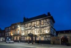
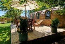
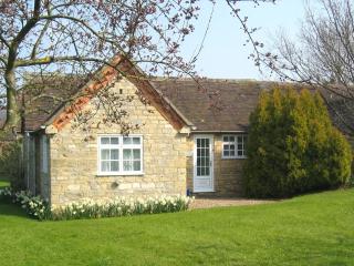
Nearby places to stay
View all (8)