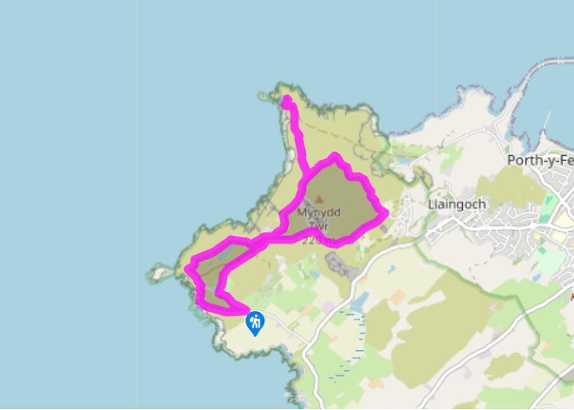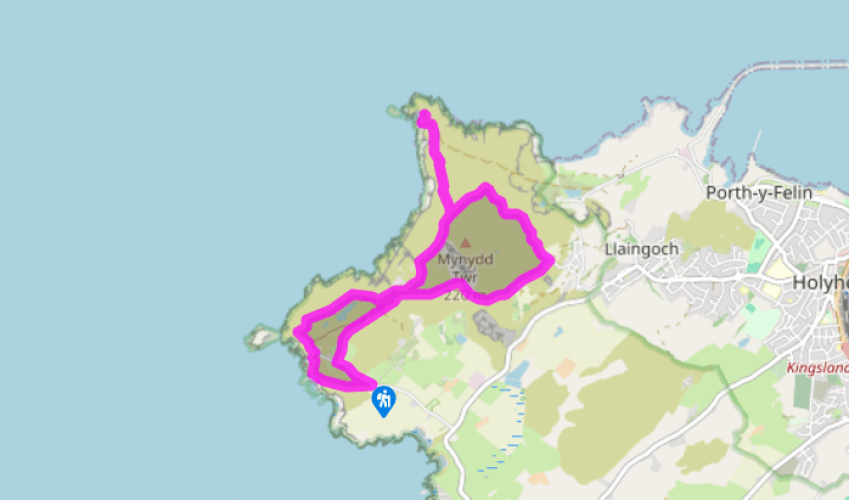
Around Holyhead Mountain
Recommended by

"Holyhead Mountain offers a fantastic coastline stroll"
Walk directions
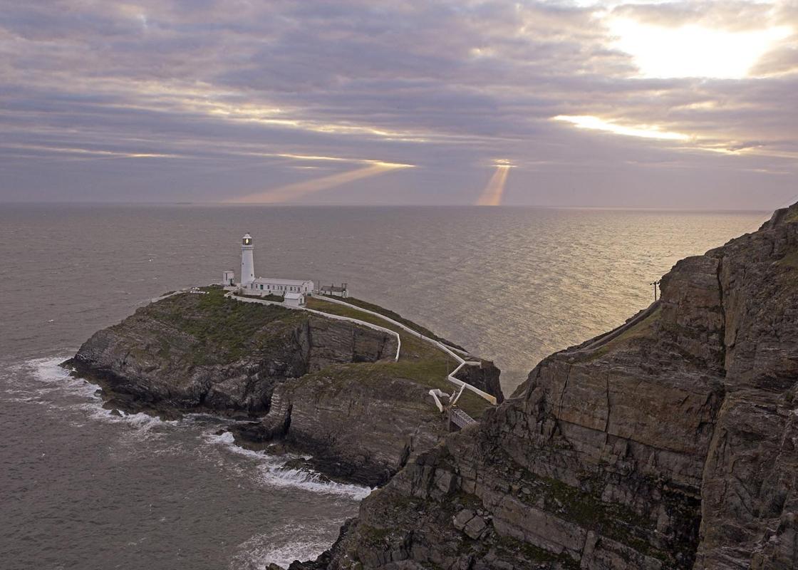
Take the path for the RSPB at Ellin’s Tower, a small white, castellated building, then climb the path above the cliffs back to the road. Follow left along to its end.
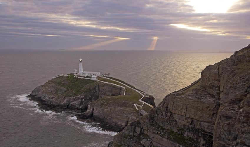
If you’re not visiting the lighthouse, climb right on a path to pass a stone shelter and then a wooden pole. Pass just right of the BT relay station to round the aerials and dishes. Keep ahead on the path, then take the left fork (the right is signed Summit). Ignore the next left (a dead-end path) and continue following waymarkers over the north shoulder of Holyhead Mountain.
View all directions
Additional information
Terrain
- Well-maintained paths and tracks, sometimes rocky
Landscape
- Heathland, coastal cliffs and rocky hills
Dog friendliness
- Dogs should be on a lead at all times
Parking
- Ellin's Tower car park (free)
Toilets en route
- At RSPB Visitor Centre (during opening hours)
About the walk
Anglesey is flat, and when you motor along the fast and busy A55 to Holyhead the flat fields flashing by the car window confirm the fact. It comes as a surprise then, that when you leave the main road and pass Trearddur Bay, the green fields turn to rugged heathland that rises to a rocky hillside....
Read more

Been on this walk?
Send us photos or a comment about this route. Or recommend a route of your own.

Walking in Safety
Read our tips to look after yourself and the environment when following this walk.

Get an AA guide
Explore our range of ‘50 Walks in’ guides - they’re the ideal companion for a ramble.
Been on this walk?
Send us photos or a comment about this route. Or recommend a route of your own.
Walking in Safety
Read our tips to look after yourself and the environment when following this walk.
Get an AA guide
Explore our range of ‘50 Walks in’ guides - they’re the ideal companion for a ramble.
About the area
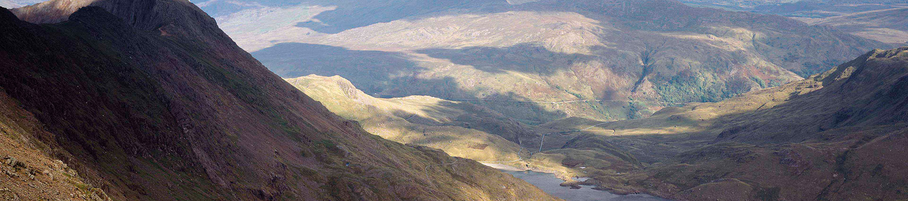
The county of Gwynedd is home to most of the Snowdonia National Park – including the wettest spot in Britain, an arête running up to Snowdon’s summit that receives an average annual rainfall of 4,473mm. With its mighty peaks, rivers and strong Welsh heritage (it has the highest proportion of Welsh-speakers in all of Wales), it’s always been an extremely popular place to visit and live.
Nearby places to stay
View all (8)


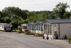
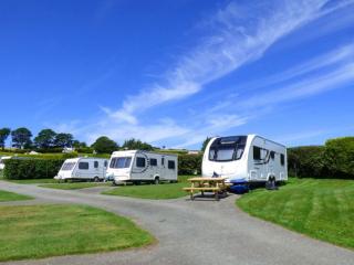
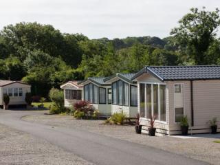
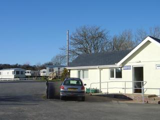
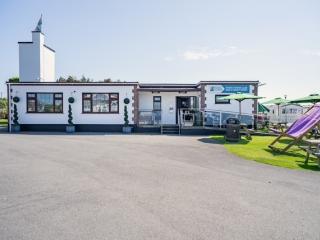
Caravan & Camping
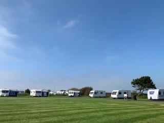
Tyddyn Isaf Caravan Park


- Launderette
- Ice pack facility
- Cafe/Restaurant
- Picnic Area
Nearby places to stay

Sandy Mount House
Sandy Mount House is a beach house restaurant and bar in the relaxed seaside village of Rhosneigr in Anglesey. The whole operation is both smart and friendly, offering a superb mix of c...
Tyddyn Isaf Caravan Park
Tyddyn Isaf Caravan Park is a beautifully situated, spacious family park on rising ground adjacent to a sandy beach with magnificent views overlooking Lligwy Bay; a private footpath lea...
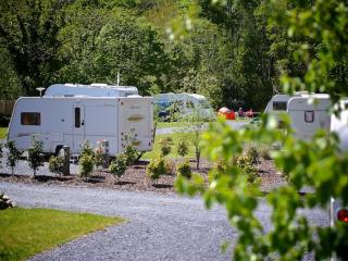
Home Farm Caravan Park
A first-class park run with passion and enthusiasm, set in an elevated and secluded position sheltered by trees, and with good planting and landscaping. The peaceful rural setting affor...
Ty'n Rhos Caravan Park
A family park close to the beautiful beach at Lligwy Bay and cliff walks along the Heritage Coast, and historic Din Lligwy and the shops at picturesque Moelfre are nearby. All the touri...
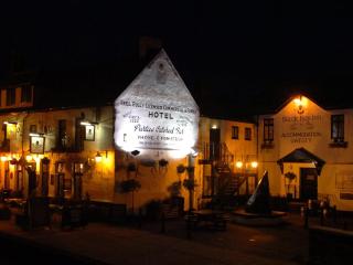
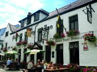
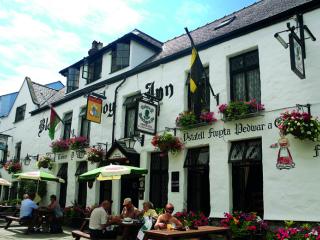
Black Boy Inn
Located within Caernarfon's historic town walls, Black Boy Inn, a fine 16th-century inn, has low ceilings, narrow staircases and thick wooden beams originally from old ships. It is one ...
Dinlle Caravan Park
A very accessible site adjacent to a sandy beach and with great views towards Snowdonia. Landscaping is particularly impressive with a colourful display of both cultivated and indigenou...
White Tower Holiday Park
There are lovely views of Snowdonia from this park that is located just two miles from the beach at Dinas Dinlle. A very well maintained, quality amenity block provides good privacy opt...
Riverside Camping
Set in the grounds of a former garden centre and enjoying a superb location along the River Seiont, Riverside Camping is approached by an impressive tree-lined drive. Immaculately maint...
Places to eat nearby View all