Nantcol, the Rhinogs' second valley
Recommended by

Walk directions
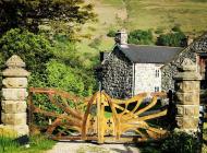
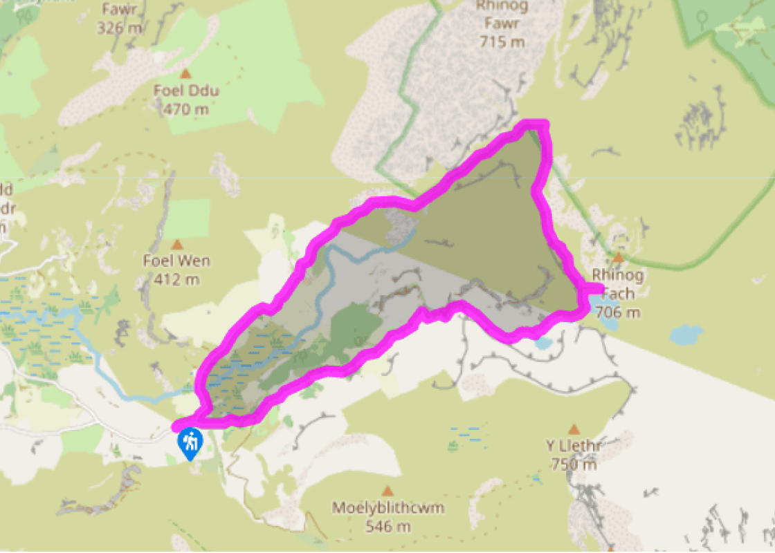
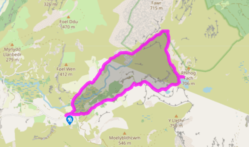
Cil-cychwyn Farm is about 4 miles (6.4km) from Llanbedr and is best reached by heading east on the road immediately to the north of the bridge in Llanbedr, following signs for Rhaeadr Nantcol Waterfalls. Continue past the waterfalls and follow a sign for Cwm Nantcol, which will eventually lead to the parking area just before the farm. From Cil-cychwyn Farm, follow the narrow lane up the valley until you reach its end. Go left then right across a small stream to follow a narrow path, with a wall to your right, to a gate. Go through and continue into upper Nantcol. The path traverses the lower south flanks of Rhinog Fawr before entering the dark pass of Bwlch Drws-Ardudwy.
On reaching a marshy basin beneath Rhinog Fawr and Rhinog Fach, look for ladder stiles over the wall on the right. The first leads to a very steep short-cut that bypasses Llyn Cwmhosan. Preferably, take the second stile to a narrow path climbing through heather and passing the west shores of Llyn Cwmhosan, and beneath the boulder and screes of Rhinog Fach’s west face. Beyond this, the route comes to the shores of Llyn Hywel.
View all directions
Additional information
Terrain
- Very rough, peaty paths through heather and farm tracks
Landscape
- Gnarled gritstone peaks with heather slopes
Dog friendliness
- Can be off lead in upper heather-clad regions of walk
Parking
- Small parking area just before Cil-cychwyn farm or Maes-y-garnedd, about half a mile further down the lane (small fee)
Toilets en route
- None on route
About the walk

Been on this walk?
Send us photos or a comment about this route. Or recommend a route of your own.

Walking in Safety
Read our tips to look after yourself and the environment when following this walk.

Get an AA guide
Explore our range of ‘50 Walks in’ guides - they’re the ideal companion for a ramble.
Been on this walk?
Send us photos or a comment about this route. Or recommend a route of your own.
Walking in Safety
Read our tips to look after yourself and the environment when following this walk.
Get an AA guide
Explore our range of ‘50 Walks in’ guides - they’re the ideal companion for a ramble.
About the area
The county of Gwynedd is home to most of the Snowdonia National Park – including the wettest spot in Britain, an arête running up to Snowdon’s summit that receives an average annual rainfall of 4,473mm. With its mighty peaks, rivers and strong Welsh heritage (it has the highest proportion of Welsh-speakers in all of Wales), it’s always been an extremely popular place to visit and live.
Nearby places to stay
View all (8)


Nearby places to stay

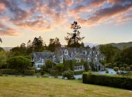
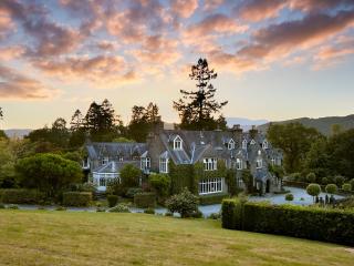
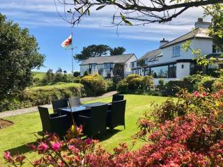
Ty Mawr Hotel
Ty Mawr translates as 'Big House' and this particular house is located in the picturesque Snowdonia National Park. The attractive grounds, opposite the River Artro, provide a popular be...
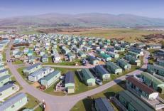
Barmouth Bay Holiday Park
With a mountain backdrop and direct access to miles of sandy beaches, Barmouth Bay Holiday Park is an ideal location for escaping from the pressures of everyday life. Holiday homes are ...
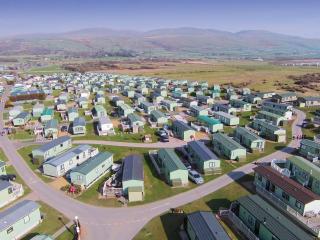
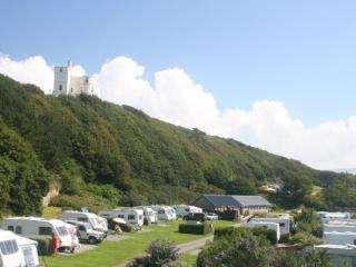
Islawrffordd Caravan Park
Situated on the coast between Barmouth and Harlech and within the Snowdonia National Park, this site has clear views of Cardigan Bay, the Llŷn Peninsula and the Snowdonia and Cader Idri...
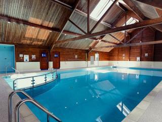
Trawsdir Touring Caravans & Camping Park
Well run by the owners, this quality park enjoys spectacular views to the sea and hills, and is very accessible for motor traffic. The facilities are appointed to a very high standard, ...
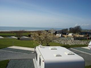
Hendre Mynach Touring Caravan & Camping Park
A constantly improving site where the enthusiastic owners invest year on year to enhance the customer experience. Although there is a steep decent to the arrivals' area, staff are alway...
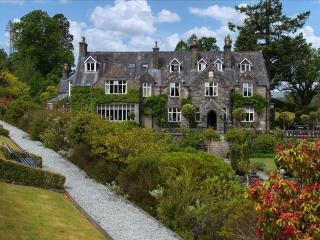
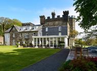
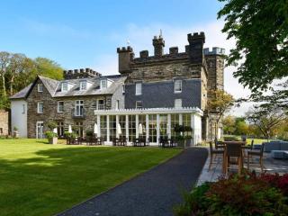
Penmaenuchaf Dolgellau
Set under the imposing Cadair Idris and overlooking the Mawddach estuary, Penmaenuchaf is a comfortable retreat enjoying peace, fantastic views and dark skies. The house has long been w...
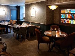
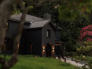
The Fanny Talbot
First impressions at the Fanny Talbot might suggest a mere seaside resort pub, but this recently launched dining venue offers fabulous interiors, plenty of comfort and a gastro dining r...
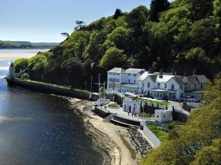
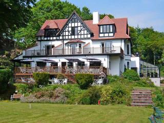
The Hotel Portmeirion
An elegant hotel enjoying pride of place shore-side beneath the wooded slopes of Portmeirion village, overlooking the sandy estuary. Saved from dereliction in the 1920s by Clough Willia...
Places to eat nearby View all