Snowdonia's Cnicht Peak
Recommended by

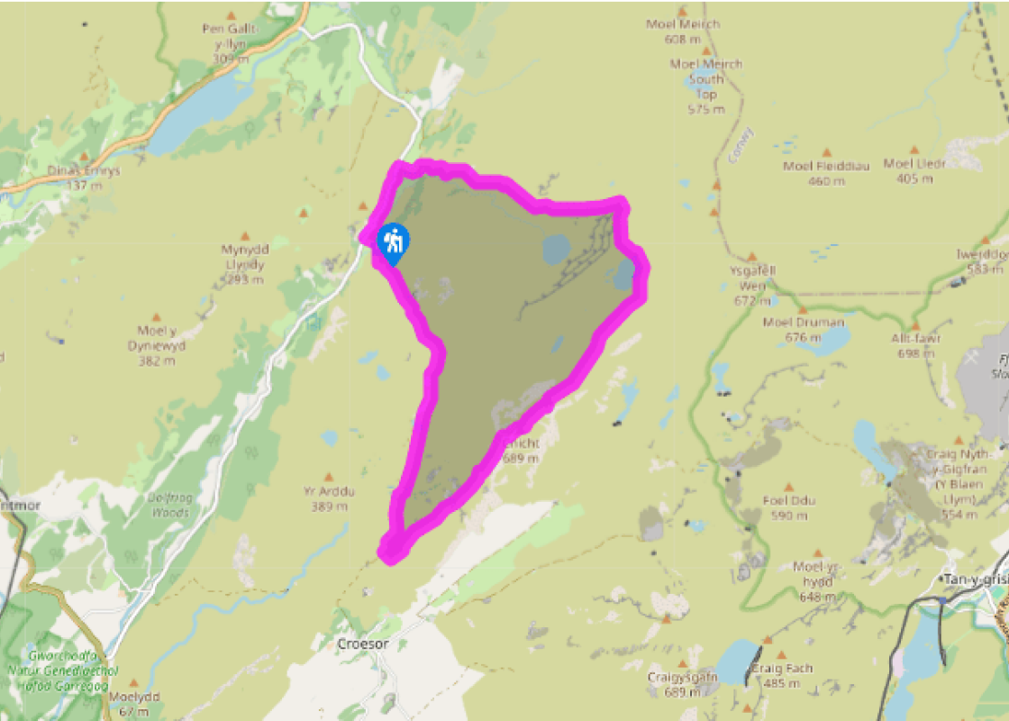
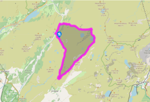
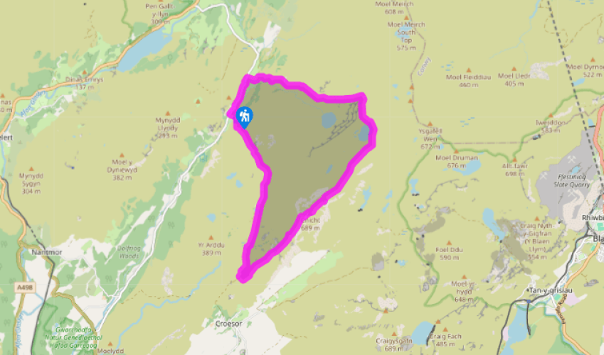
Walk directions
Walk south along the road, then turn left along the track to Nantmor Mountain Centre (Gelli-Iago). Go through the gate to the left of the house, then round right behind it to a footbridge. A stony path now winds up the hillside, with the stream on the left and Cnicht appearing on the horizon ahead.
After a more level stretch, the path veers right and climbs to a ladder stile and the wild pass of Bwlch y Battel. The path peters out, but a marshy passage between high, rocky hillsides keeps you on the straight and narrow. Descend towards a tarn and pass above and left of it. Descend by its outlet stream through a narrow valley to a marshy hollow. Cross this (it's not as bad as it looks) to a broad green path. Follow this right, through a gate and to a junction with a marked post, where you meet the main Croesor-to-Cnicht route.
View all directions
Additional information
Terrain
- Mostly well defined on ascent, sketchy at times on descent, several stiles
Landscape
- High pastureland giving way to rocky mountain ridges
Dog friendliness
- Sheep high on ridges in summer so dogs need to be on a lead
Parking
- Free parking area just north of Nantmor Mountain Centre
Toilets en route
- None on route
About the walk
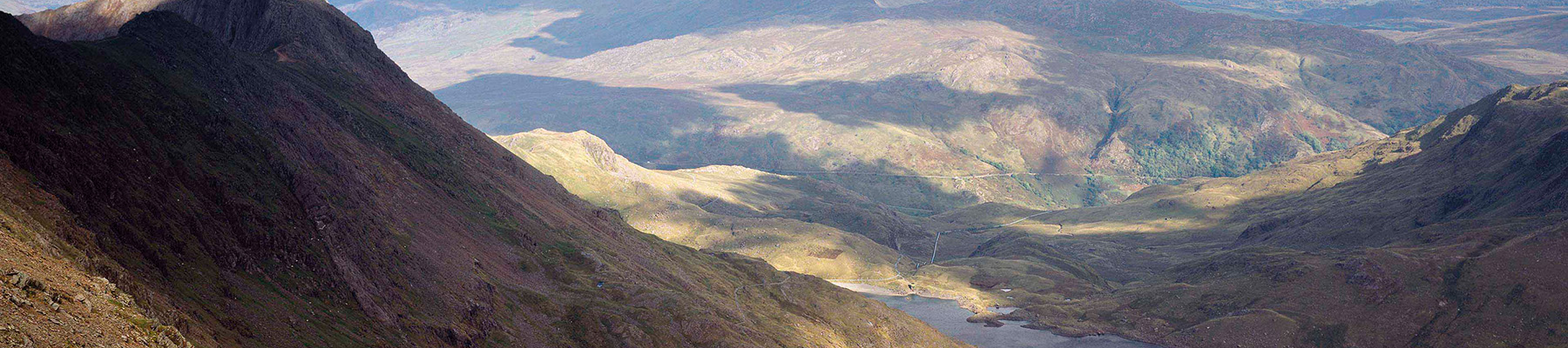
Seen from below in the valley of the Glaslyn, Cnicht is a splendid pyramid of rock. It has often been described as the Matterhorn of Wales, though it is perhaps more of an Eiger. Cnicht, which means ‘the knight’, is a little bit of a pretender though. Seen from any other angle its rock face is no...
Read more

Been on this walk?
Send us photos or a comment about this route. Or recommend a route of your own.

Walking in Safety
Read our tips to look after yourself and the environment when following this walk.

Get an AA guide
Explore our range of ‘50 Walks in’ guides - they’re the ideal companion for a ramble.
Been on this walk?
Send us photos or a comment about this route. Or recommend a route of your own.
Walking in Safety
Read our tips to look after yourself and the environment when following this walk.
Get an AA guide
Explore our range of ‘50 Walks in’ guides - they’re the ideal companion for a ramble.
About the area
The county of Gwynedd is home to most of the Snowdonia National Park – including the wettest spot in Britain, an arête running up to Snowdon’s summit that receives an average annual rainfall of 4,473mm. With its mighty peaks, rivers and strong Welsh heritage (it has the highest proportion of Welsh-speakers in all of Wales), it’s always been an extremely popular place to visit and live.
Nearby places to stay
View all (8)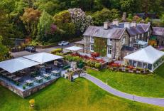


Nearby places to stay
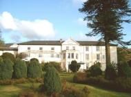
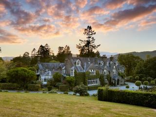
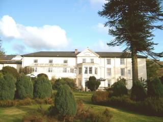
Aberdunant Hall
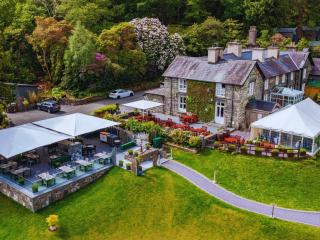
Part of the Aberdunant Hall holiday park, which is set on 200 acres of ancient woodland, that includes a superb selection of indigenous trees, flora and fauna, further enhanced by water...
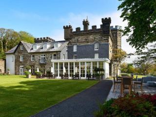
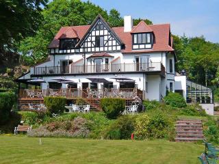
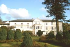
The Royal Victoria Hotel Snowdonia
The Royal Victoria Hotel Snowdonia is a well-established hotel near the foot of Snowdon, between the Peris and Padarn lakes. The mountains and extensive grounds make an attractive backd...
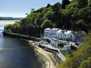
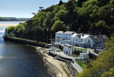
The Hotel Portmeirion
An elegant hotel enjoying pride of place shore-side beneath the wooded slopes of Portmeirion village, overlooking the sandy estuary. Saved from dereliction in the 1920s by Clough Willia...
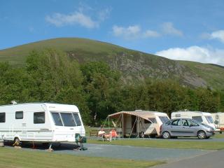
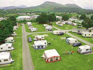
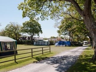
Bryn Gloch Caravan & Camping Park
Set beside the River Gwyrfai, Bryn Gloch offers shepherd's huts, static caravans and touring pitches in the heart of beautiful Snowdonia (Eryri). The park offers the best of two worlds,...
Greenacres Holiday Park
A quality holiday park on level ground just a short walk from Black Rock Sands, and set against a backdrop of Snowdonia National Park. All touring pitches are on hardstandings surrounde...
Llys Derwen Caravan & Camping Site
Enjoy the adventure of a lifetime in Snowdonia North Wales. Nestled in the scenic embrace of Mount Snowdon (Yr Wyddfa), the award winning Llys Derwen Caravan & Campsite Snowdon is an id...
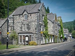
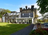
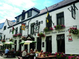
Royal Oak Hotel
Centrally situated in the village, the Royal Oak is an elegant, privately owned hotel that started life as a coaching inn and provides very comfortable bedrooms with smart, modern en su...
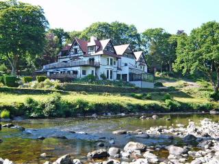
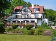
Craig-y-Dderwen Riverside Hotel
Craig-y-Dderwen Riverside Hotel is Victorian country house hotel in well-maintained grounds alongside the River Conwy, at the end of a tree-lined drive. Views down the river can be enjo...
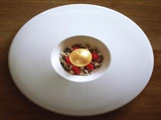
Places to eat nearby View all