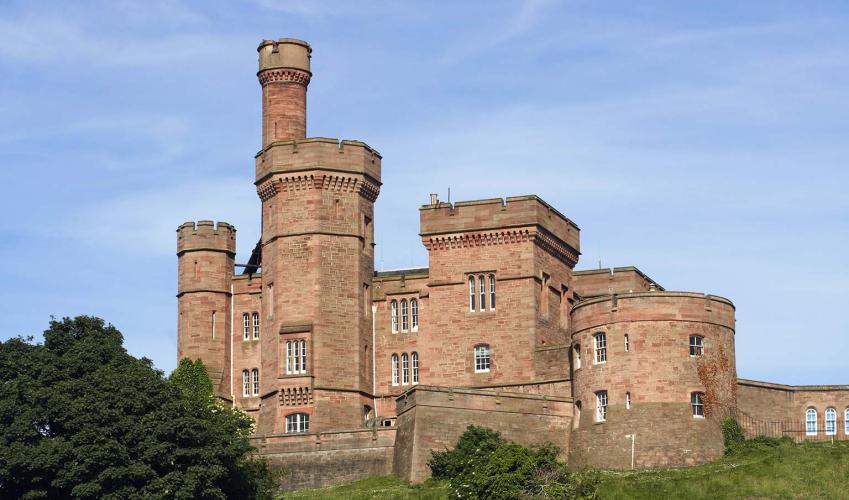

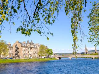
River island of Inverness
Recommended by

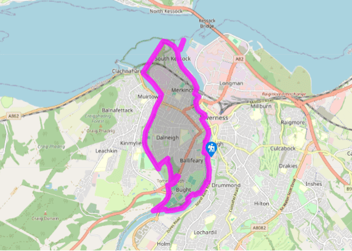
"An Inverness town walk of riverside, seaside and canalside."
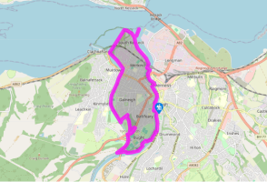
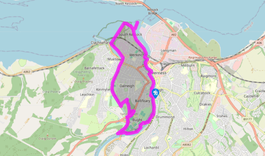
Walk directions
Head downstream, with the river on your right, past the Ness Bridge (it leads to the Tourist Information Centre). Cross Greig Street Suspension Bridge to the foot of Church Lane. Turn left onto Douglas Row. A cycleway leads under the concrete bridge of the A82. Turn left across the grey-girdered Waterloo Bridge, then right on Anderson Street. Continue along the streets nearest the river, as it opens into the Beauly Firth. A sidepath leads to a beacon at Carnach Point. This has a fine view of the estuary and Kessock Bridge.
Continue along the shore to the old ferry slipway. A sea wall path ahead runs to a level crossing, then between salt pools to the Caledonian Canal.
View all directions
Additional information
Terrain
- Smooth and wide
Landscape
- City and foreshore
Dog friendliness
- Forbidden on Tomnahuirich – use alternative routes suggested in directions
Parking
- Pay-and-display in Bishop Street, south of cathedral
Toilets en route
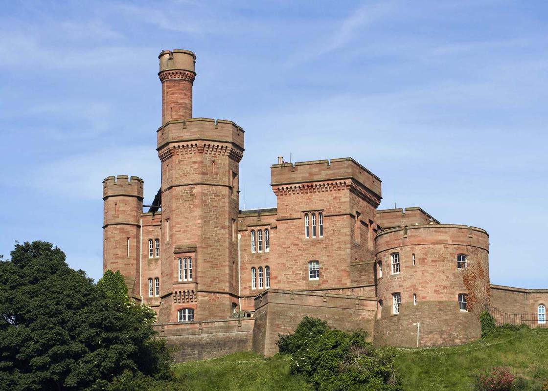
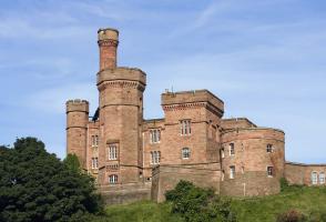
- Beside Inverness Castle
About the walk
At 12 miles (20km) long from Loch Ness to the sea, the River Ness is one of Britain's shorter rivers (though it's still a lot longer than the Scavaig River on Skye, at just over 0.25 miles/400m). It has a total fall in height of just 55ft (16m). The first claimed sighting of the Loch Ness Monster...
Read more

Been on this walk?
Send us photos or a comment about this route. Or recommend a route of your own.

Walking in Safety
Read our tips to look after yourself and the environment when following this walk.

Get an AA guide
Explore our range of ‘50 Walks in’ guides - they’re the ideal companion for a ramble.
Been on this walk?
Send us photos or a comment about this route. Or recommend a route of your own.
Walking in Safety
Read our tips to look after yourself and the environment when following this walk.
Get an AA guide
Explore our range of ‘50 Walks in’ guides - they’re the ideal companion for a ramble.
About the area
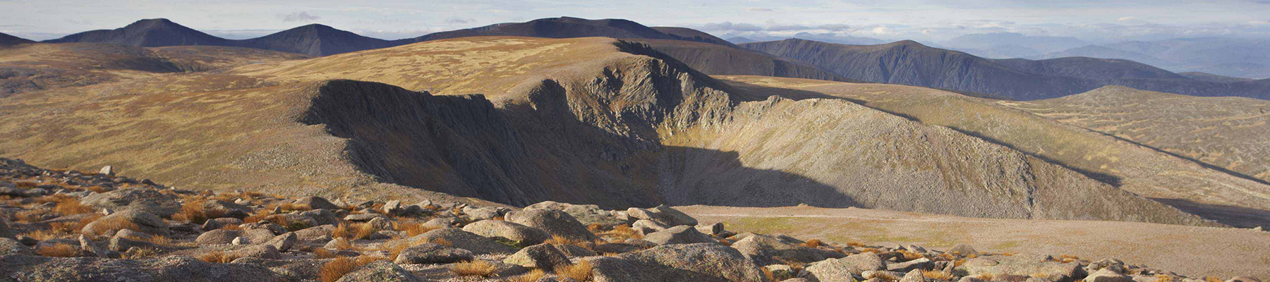
Apart from the Orkneys and the Shetlands, Highland is Scotland’s northernmost county. Probably its most famous feature is the mysterious and evocative Loch Ness, allegedly home to an ancient monster that has embedded itself in the world’s modern mythology, and the region’s tourist industry.
Nearby places to stay
View all (8)


Hotel
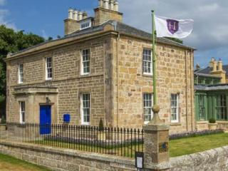
Inverness Palace Hotel & Spa, World Hotels Distinctive


- Family rooms: 5
- Free TV
- WiFi available
- Lift available

Nearby places to stay
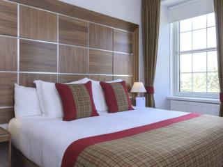
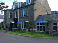
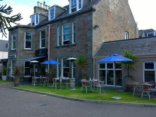
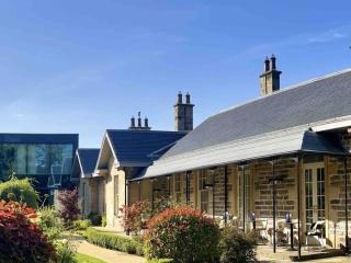
Glenmoriston Town House Hotel
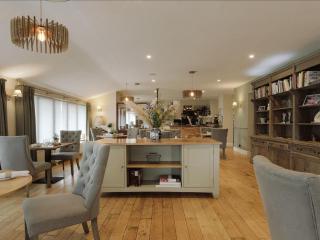
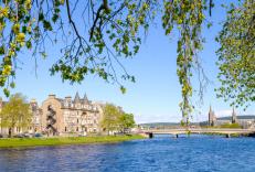
Bold contemporary designs blend seamlessly with the classical architecture of this stylish hotel which is situated on the banks of the River Ness. Delightful day rooms include a well-st...
Inverness Palace Hotel & Spa, World Hotels Distinctive
The Best Western Inverness Palace Hotel and Spa is set on the north side of the River Ness, close to the Eden Court theatre and a short walk from the town centre, this hotel has a conte...
Rocpool Reserve Hotel
Rocpool Reserve is a beautiful townhouse hotel in a great location in a residential area close to the city centre. A high level of personal service is offered, and bedrooms provide luxu...
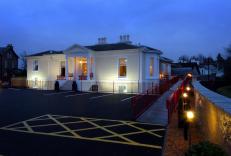
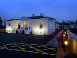
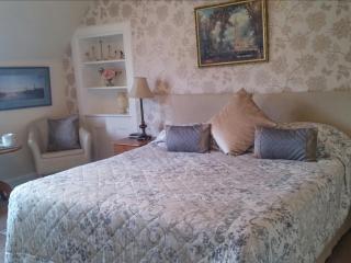
Ness Walk Hotel
Ness Walk is a 15-minute walk from the city centre. The hotel is built around a 19th-century house with a newer building blending in to give guests the best of both worlds. Bedrooms cat...

Royal Highland Hotel
Built in 1858 adjacent to the railway station, the Royal Highland Hotel has a typically grand Victorian foyer with comfortable seating. The contemporary ASH Brasserie and bar is a refre...
Heathcote B&B
Only a few minutes' walk from the Eden Court Theatre and the centre of Inverness, Heathcote B&B is ideally situated for touring, whether you're searching for the Loch Ness monster or do...
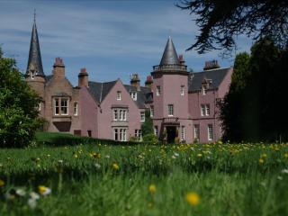
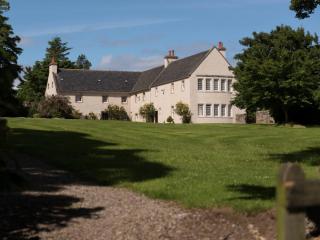
Bunchrew House Hotel
Overlooking Beauly Firth, this impressive mansion house dates from the 17th century, being completed in 1621 by Simon the eighth Lord Lovat. It retains much of its original character no...
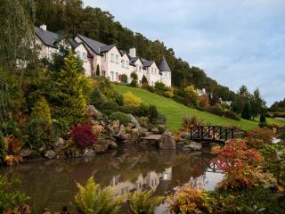
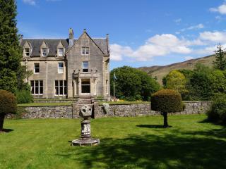
Loch Ness Lodge
Loch Ness Lodge enjoys a prominent position overlooking the loch of the same name, and all of the individually designed bedrooms have great views. Bedrooms are of the highest standard, ...