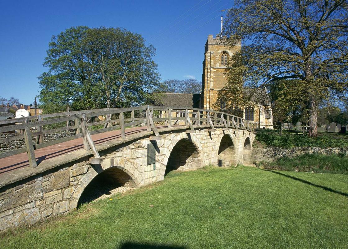
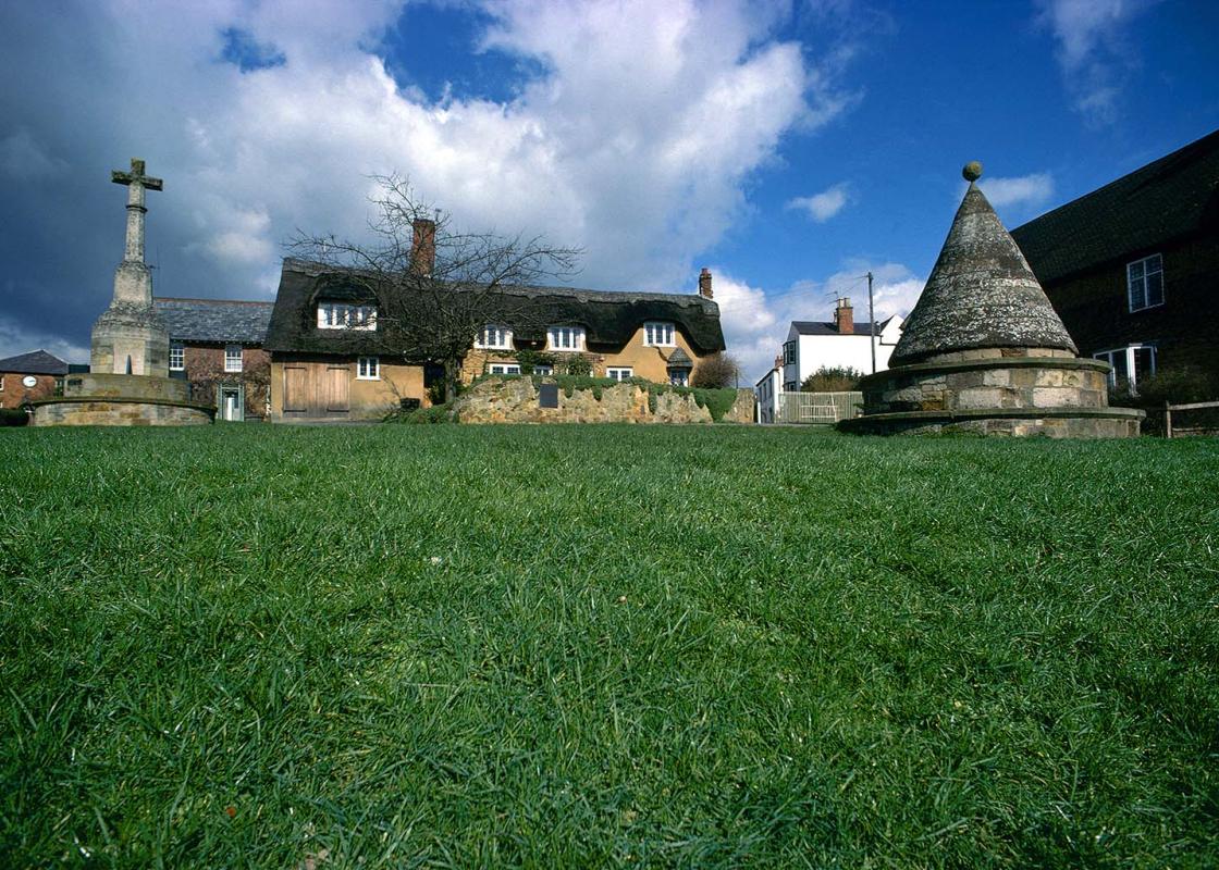
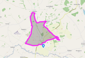
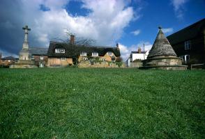
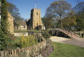
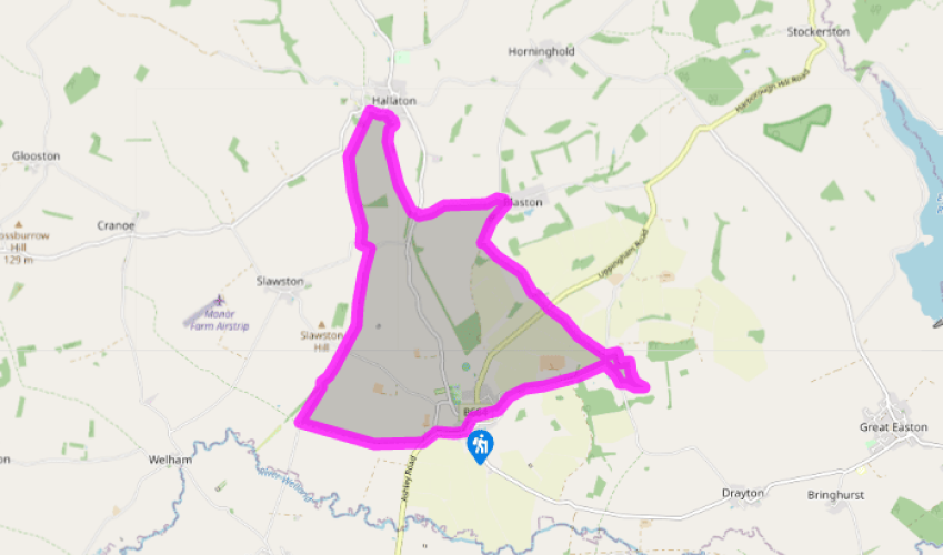
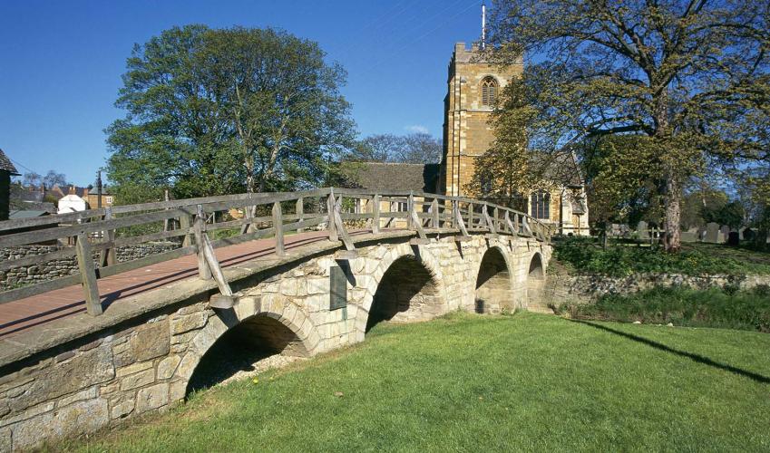
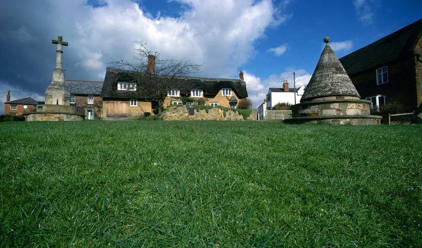
Medbourne and Hallaton
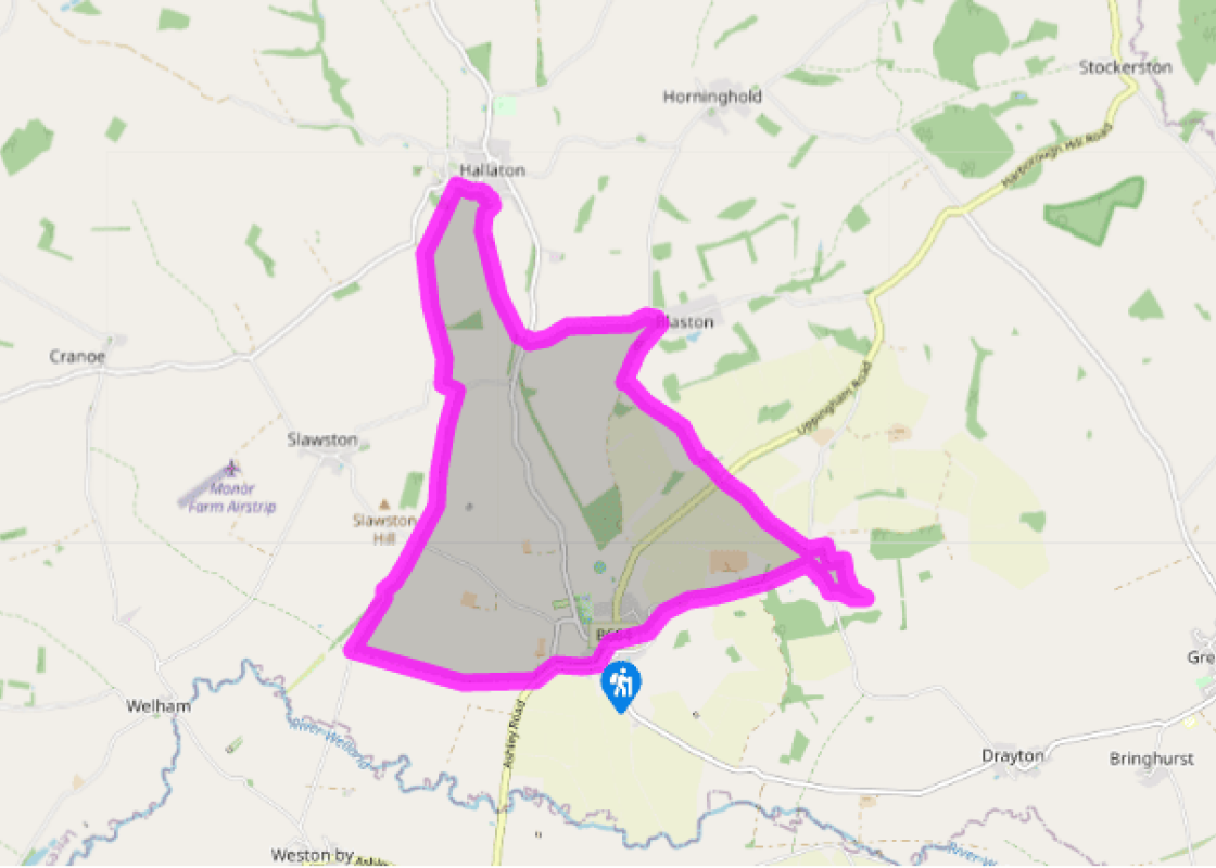
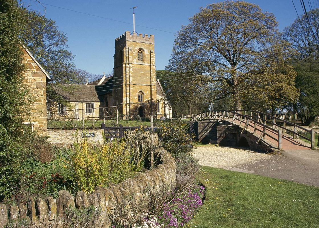
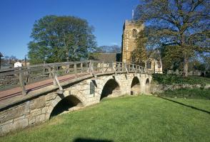
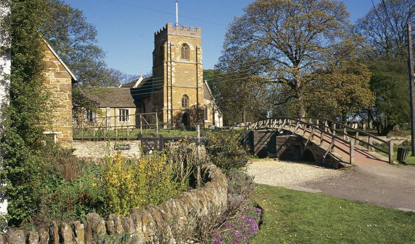
Walk up Main Street and turn right on to Rectory Lane, opposite the church, which becomes a path. Go over the road at the end and up through the fields opposite. Cross a stile to continue through the yard of Nut Bush and across the field beyond, then climb over the low wall on your left to the road. Turn right and walk along the road to reach Nevill Holt.
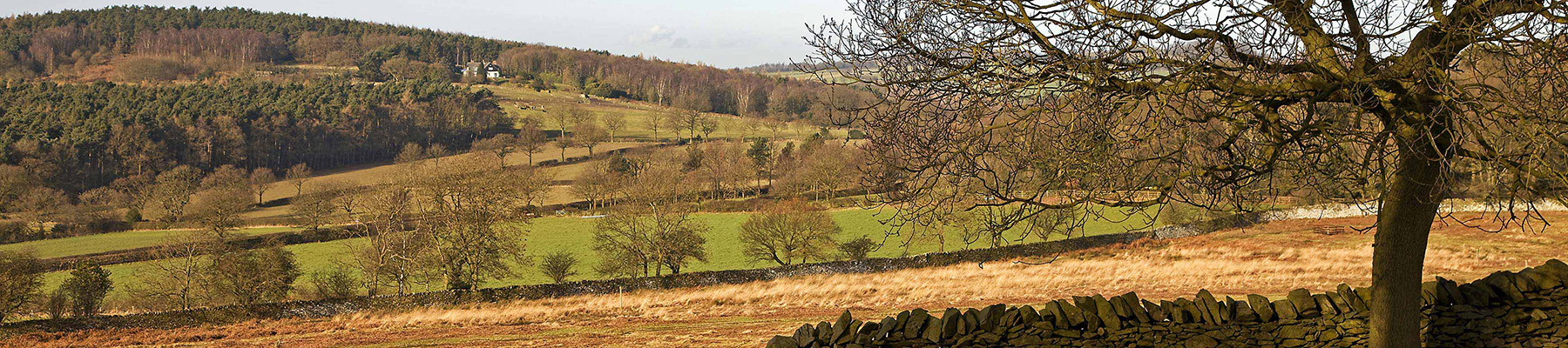
Turn right at the end of The Avenue. Walk past the ornate gates and in 100yds (91m) take the second public footpath on the left across the parkland to the south of the site. At the end of a young hawthorn hedge turn left for a grassy path back up to the church, following yellow waymarkers. Join a lane beside a high brick wall back round to the road.
At the junction go through the gate opposite to cross a wide arable field. Continue down through two fields, separated by Uppingham Road. Beyond a woodland strip go left, then up the right-hand side and across the top of the next field – aim for the solitary tree on the skyline. At the far corner drop down through the field and turn right at a junction for a farm track into Blaston.Â
At the lovely Church of St Giles turn left and follow Hallaton Road to the junction at the end. Go straight over and after the second stile turn right to walk through the wide open pasture towards Hallaton. Follow the yellow-topped waymarker posts, aiming initially for the spire of Hallaton church, then veer to the right of an isolated clump of trees in the middle of the field, and cross a footbridge.
Go left, then sharply right beyond another stile and follow the signs through a small, modern housing development. Eventually turn left on to Medbourne Road and straight on to reach the centre of Hallaton.Â
Leave the village via a passageway underneath a house, just along from The Bewicke Arms and almost opposite the Butter Cross. Cross a footbridge and go directly up a sloping field, aiming just to the right of a wooden fence beneath trees. Arriving at the summit of Hare Pie Bank, go through a gate and turn left on to a wide track. Continue along the edge of two gated fields, then turn left into a lane. Turn right at the first bend and follow this long, semi-surfaced lane below Slawston Hill.
At a road junction go straight over and down a lane, and 500yds (457m) beyond the former railway bridge turn left for an unswerving bridleway along the foot of successive fields. When you reach the far end, turn left to follow the road back into Medbourne.
Been on this walk?
Send us photos or a comment about this route. Or recommend a route of your own.
Walking in Safety
Read our tips to look after yourself and the environment when following this walk.
Get an AA guide
Explore our range of ‘50 Walks in’ guides - they’re the ideal companion for a ramble.
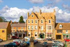
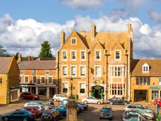
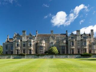
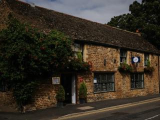
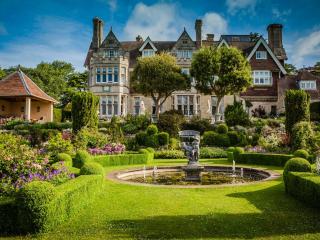
Nearby places to stay
View all (8)
- Rooms 59
- Satellite TV
- Free TV
- Wifi
- Family rooms: 4
- Free TV
- WiFi available
- Rooms 11
- Free TV
- Direct Dial
- Wifi


