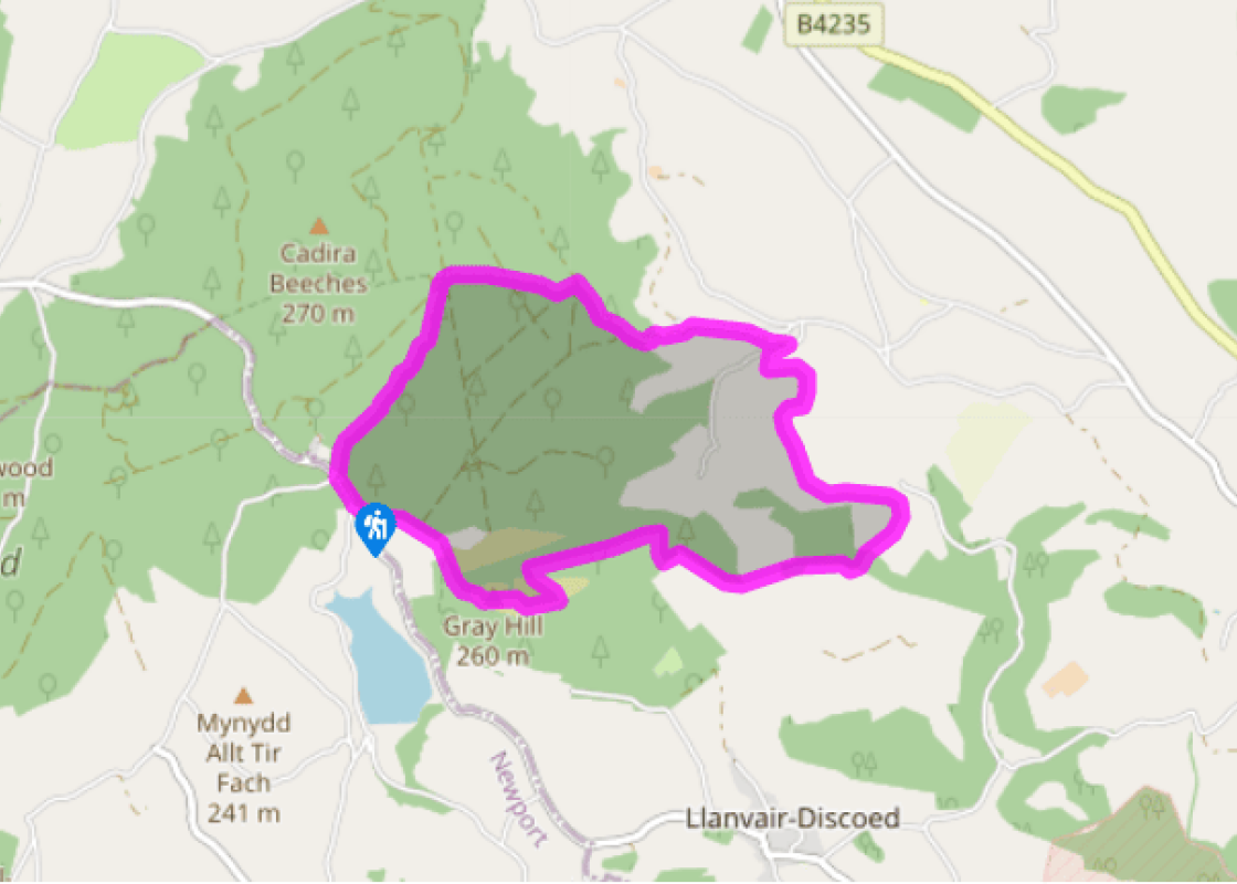
Additional information
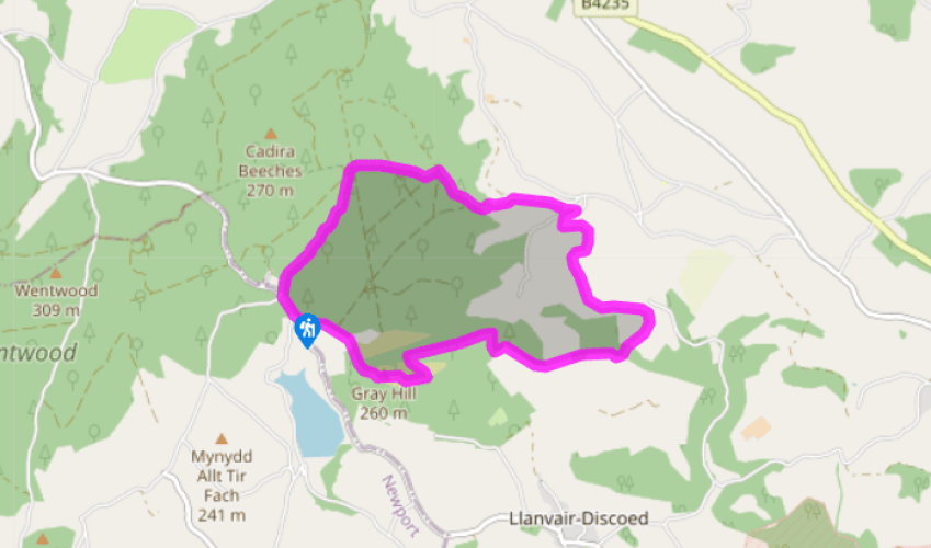
Terrain
- Woodland tracks and bridleways, some sketchy field paths (7 stiles)
Landscape
- Woodland, pastoral valley, bracken-covered hill
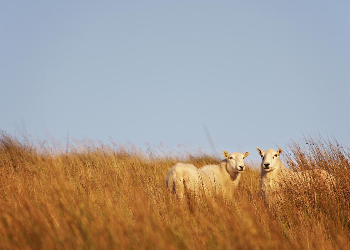
Dog friendliness
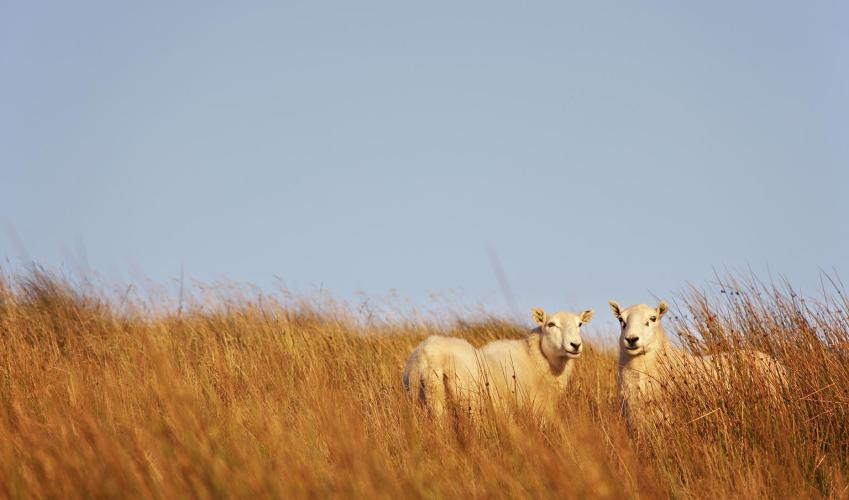
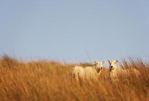
- Can run free in woods and on Gray Hill
Parking
- Foresters’ Oaks Picnic Site, just north of Wentwood Reservoir
Toilets en route
- None on route
About the walk
In the early medieval period, Wentwood forest stretched unbroken from the River Usk to the banks of the Wye, dividing the old kingdom of Gwent into Gwent Is Coed (‘Gwent below the wood’) and Gwent Uwch Coed (‘Gwent above the wood’). East of the Wye, it would have reached as far as the much larger... Forest of Dean. At that time, the trees were mainly oak and beech, and provided an ideal habitat for large mammals such as deer and wild boar. The first sustained assault on Wentwood took place under the Normans, who cleared a large area of forest west of Chepstow to found the settlements of ‘Sherriff’s Newton’ (Shirenewton) and Earlswood. However, the Normans also maintained large areas of the forest as hunting preserves belonging to the lordship of Chepstow. In return for their rent, tenant farmers had the right to collect timber from the forest and let their sheep, goats and pigs to forage for food. Any infraction of these rules was dealt with by a special forest court, which convened twice a year in a grove of oak trees known as ‘Foresters’ Oaks’ (close to the entrance of the picnic site). Criminal offences were dealt with separately, and often severely, and the last recorded hanging at Foresters’ Oaks took place in 1829. Land-hungry farmers and a demand for mature oak trees to build houses and warships led to a further erosion of the woodland area from the 16th century onwards. Ironically, it was the iron industry that saved the heart of the forest, by placing a high value on the timber required for the production of charcoal. However, what remained of the ancient woodland came under intense pressure during World War I, when many native broadleaved trees were felled to provide timber for the trenches. These were largely replaced with conifers, which continue to dominate many areas of the forest. Nevertheless, despite being much reduced in size, Wentwood remains the largest area of ancient woodland in Wales and the ninth largest in the UK. East of Wentwood, the walk enters a pastoral landscape before climbing steeply west towards the summit of Gray Hill. The hard slog to the top is rewarded by spectacular views across the Severn Estuary and along the Caldicot Levels, as well as inland over the hills of Wentwood. The hill is well known for its Neolithic and Bronze Age remains, which include standing stones, a stone circle and a D-shaped enclosure. Arthur Machen (1863–1947), author of supernatural, horror and fantasy novels, had a mystical fascination with Gray Hill and featured it in a number of his writings.
Read more