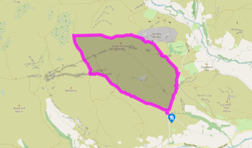
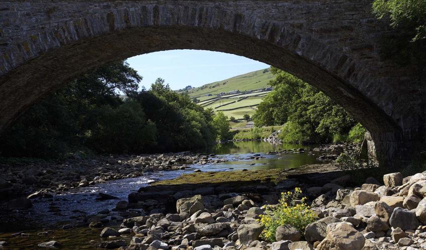
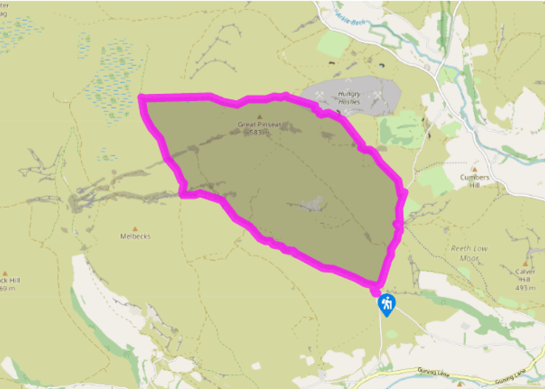
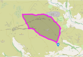
From the parking place, descend to cross the bridge. Climb a little way up the other side, then turn left on a track by a ‘BW only, no vehicles’ sign. Follow the track for a mile (1.6km) to Old Gang Smelting Mills. Beyond, continue along the track. Where there is a fork, keep to the right hand track, uphill, following the sign to Level House Bridge.
Go through a kissing gate, cross Level House Bridge and go uphill. This track follows the Old Rake Vein, towards the Merryfield Mines. As the climb levels off and another track joins from the left, turn right down a rougher track into the small valley of Doctor Gill.
Cross two streams, then climb out on a vague path slightly left, uphill, past spoil heaps and across bare ground with some small cairns. Continue in the same direction across moorland to the corner of a fence. Go ahead with the fence on your right, then eventually cross to the other side of the fence at a gate. Descend slightly to a stony area, then turn right alongside a stream gully, past a small cairn.
The track quickly becomes clear. It soon crosses the gully and continues over open moor, descending gently and then climbing, in the same direction, equally gently. As it starts to descend again, pass grouse butts and spoil heaps, then fork right at a bare stony area to take an obvious track past downhill past numerous spoil heaps and shafts.
Keep on down the main track as other tracks join from the right and then left. It winds as it descends. Just above a road it bends sharp left; bear right here on a green track to join the road and go right. Descend to cross a footbridge beside the ford at Fore Gill Gate and continue along the road. Cross the bridge near the Surrender Mine to return to the parking place.
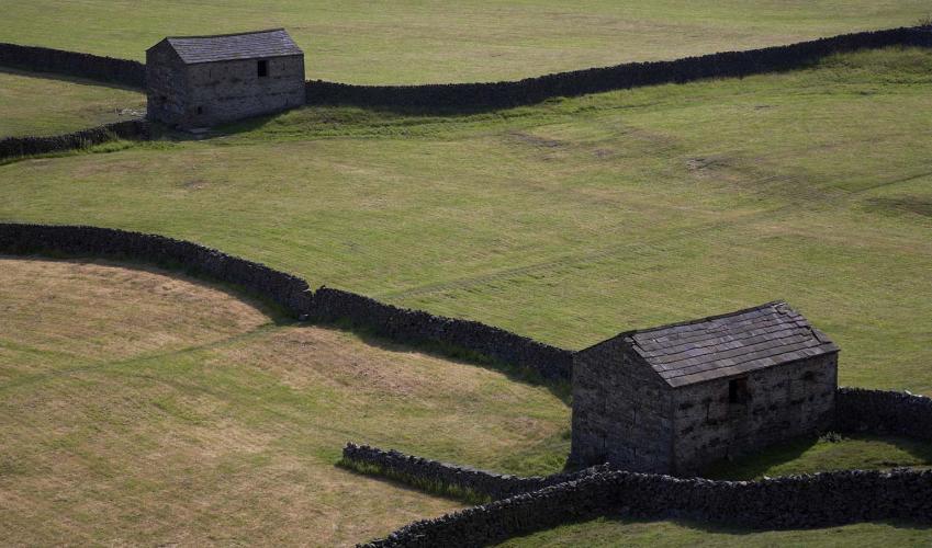
The area around Old Gang was one of the most intensively mined parts of Swaledale in the 18th and 19th centuries. The lead-bearing veins here were very complex, so there are many – and confusing – remains. The largest surviving building beside the track at Old Gang is the smelting mill, while on... the hillside above is a long row of stone columns, the remains of the peat house. This open-sided building, 390ft (119m) long and 21ft (6.4m) wide, originally had a thatched roof. It could hold enough locally dug peat to fuel a year’s smelting. The best view is from slightly up the track above Old Gang. A little further on the walk passes the entrance to Hard Level, opened in 1785. This was a major entrance to the mines complex, and part of an extensive network that ran right through to Gunnerside Gill. Nearby are the remains of the dressing floor, where the ore was crushed and washed before the smelting process. Level House was a dwelling built in the late 17th century for one of the partners in the early mining industry. Look out for the remains of the rails that took the ore-laden trucks from the mines to the smelting mills. From the highest part of the walk there are views to the Ieft into Arkengarthdale, another heavily mined area. You will see the remains of hushes, an early method of reaching the ore. Above a steep slope a stream was dammed with turf. Once filled, the dam was breached and the water rushing downhill gouged a trench in the slope, with luck exposing the vein. On the final road stretch you may find the ford at Fore Gill Gate looks familiar; it was used in the opening titles of BBC television’s All Creatures Great and Small in the late 1970s and the 1980s. Just before completing the walk you will cross the flue from the old Surrender Smelt Mill, downstream to your Ieft. The flue led to the chimney high up on your right. Such long flues enabled the smelt mills to use higher temperatures to separate the lead from the slag. Some lead vaporises in extreme heat, and the long flues meant that the gases cooled as they went towards the chimney, so the lead solidified in the wall. Men (or often boys) could then be sent into the flues to recover the lead deposit.
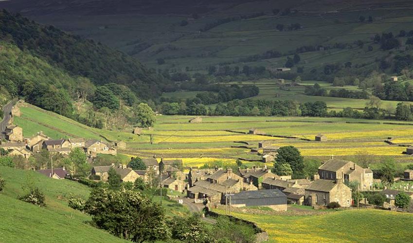
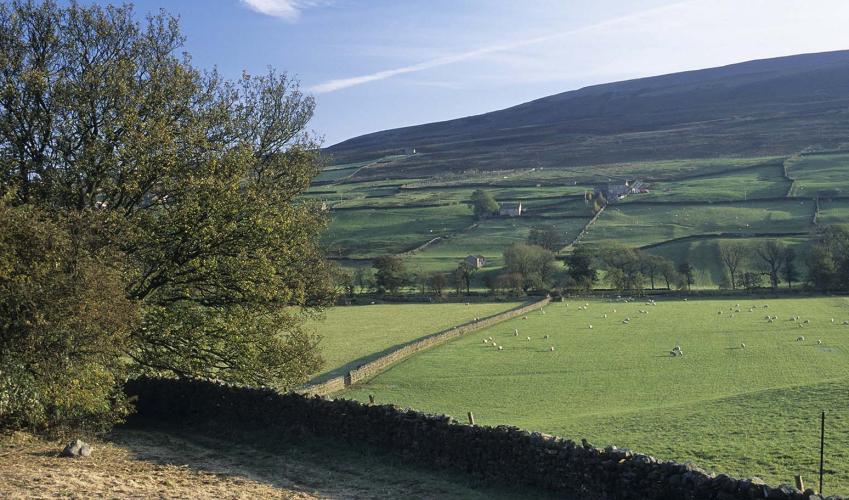
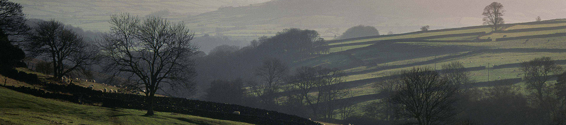
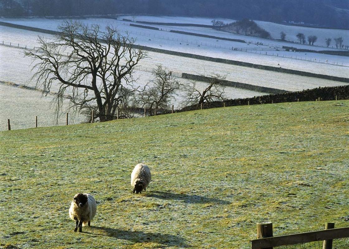
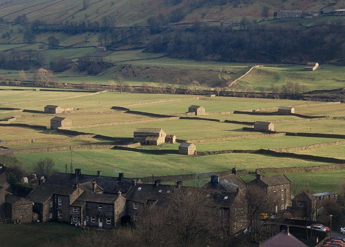
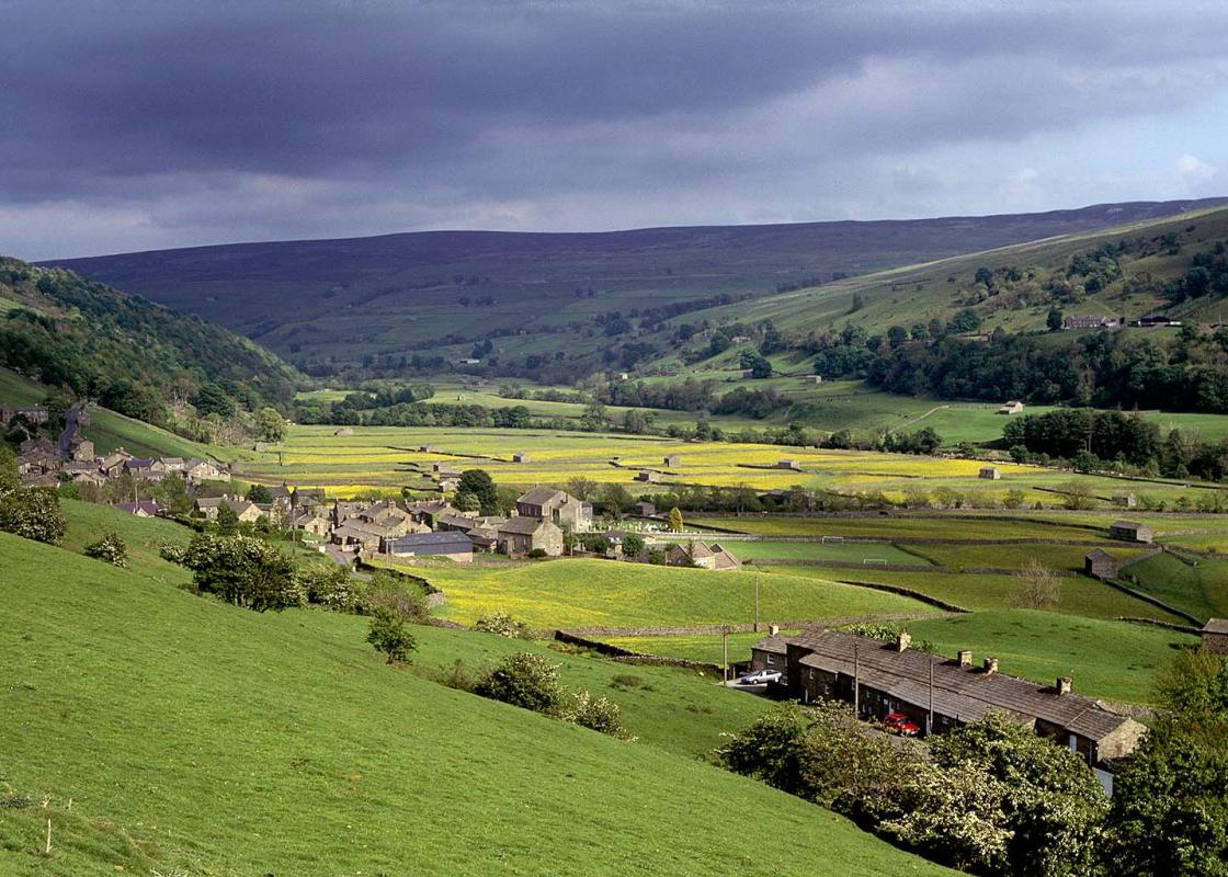
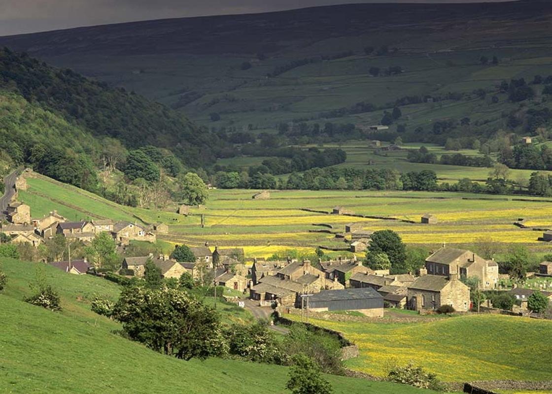
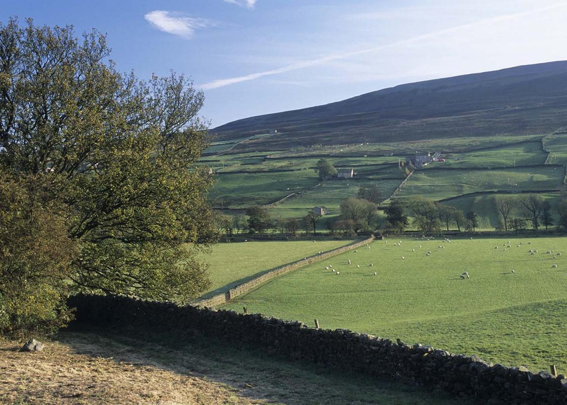
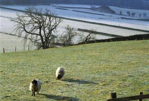
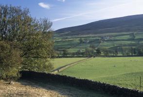
North Yorkshire, with its two National Parks and two designated Areas of Outstanding Natural Beauty, is England’s largest county and one of the most rural. This is prime walking country, from the heather-clad heights of the North York Moors to the limestone country that is so typical of the Yorkshire Dales – a place of contrasts and discoveries, of history and legend.
From the parking place, descend to cross the bridge. Climb a little way up the other side, then turn left on a track by a ‘BW only, no vehicles’ sign. Follow the track for a mile (1.6km) to Old Gang Smelting Mills. Beyond, continue along the track. Where there is a fork, keep to the right hand track, uphill, following the sign to Level House Bridge.
1 of 5
Go through a kissing gate, cross Level House Bridge and go uphill. This track follows the Old Rake Vein, towards the Merryfield Mines. As the climb levels off and another track joins from the left, turn right down a rougher track into the small valley of Doctor Gill.
2 of 5
Cross two streams, then climb out on a vague path slightly left, uphill, past spoil heaps and across bare ground with some small cairns. Continue in the same direction across moorland to the corner of a fence. Go ahead with the fence on your right, then eventually cross to the other side of the fence at a gate. Descend slightly to a stony area, then turn right alongside a stream gully, past a small cairn.
3 of 5
The track quickly becomes clear. It soon crosses the gully and continues over open moor, descending gently and then climbing, in the same direction, equally gently. As it starts to descend again, pass grouse butts and spoil heaps, then fork right at a bare stony area to take an obvious track past downhill past numerous spoil heaps and shafts.
4 of 5
Keep on down the main track as other tracks join from the right and then left. It winds as it descends. Just above a road it bends sharp left; bear right here on a green track to join the road and go right. Descend to cross a footbridge beside the ford at Fore Gill Gate and continue along the road. Cross the bridge near the Surrender Mine to return to the parking place.
The area around Old Gang was one of the most intensively mined parts of Swaledale in the 18th and 19th centuries. The lead-bearing veins here were very complex, so there are many – and confusing – remains. The largest surviving building beside the track at Old Gang is the smelting mill, while on... the hillside above is a long row of stone columns, the remains of the peat house. This open-sided building, 390ft (119m) long and 21ft (6.4m) wide, originally had a thatched roof. It could hold enough locally dug peat to fuel a year’s smelting. The best view is from slightly up the track above Old Gang. A little further on the walk passes the entrance to Hard Level, opened in 1785. This was a major entrance to the mines complex, and part of an extensive network that ran right through to Gunnerside Gill. Nearby are the remains of the dressing floor, where the ore was crushed and washed before the smelting process. Level House was a dwelling built in the late 17th century for one of the partners in the early mining industry. Look out for the remains of the rails that took the ore-laden trucks from the mines to the smelting mills. From the highest part of the walk there are views to the Ieft into Arkengarthdale, another heavily mined area. You will see the remains of hushes, an early method of reaching the ore. Above a steep slope a stream was dammed with turf. Once filled, the dam was breached and the water rushing downhill gouged a trench in the slope, with luck exposing the vein. On the final road stretch you may find the ford at Fore Gill Gate looks familiar; it was used in the opening titles of BBC television’s All Creatures Great and Small in the late 1970s and the 1980s. Just before completing the walk you will cross the flue from the old Surrender Smelt Mill, downstream to your Ieft. The flue led to the chimney high up on your right. Such long flues enabled the smelt mills to use higher temperatures to separate the lead from the slag. Some lead vaporises in extreme heat, and the long flues meant that the gases cooled as they went towards the chimney, so the lead solidified in the wall. Men (or often boys) could then be sent into the flues to recover the lead deposit.
North Yorkshire, with its two National Parks and two designated Areas of Outstanding Natural Beauty, is England’s largest county and one of the most rural. This is prime walking country, from the heather-clad heights of the North York Moors to the limestone country that is so typical of the Yorkshire Dales – a place of contrasts and discoveries, of history and legend.