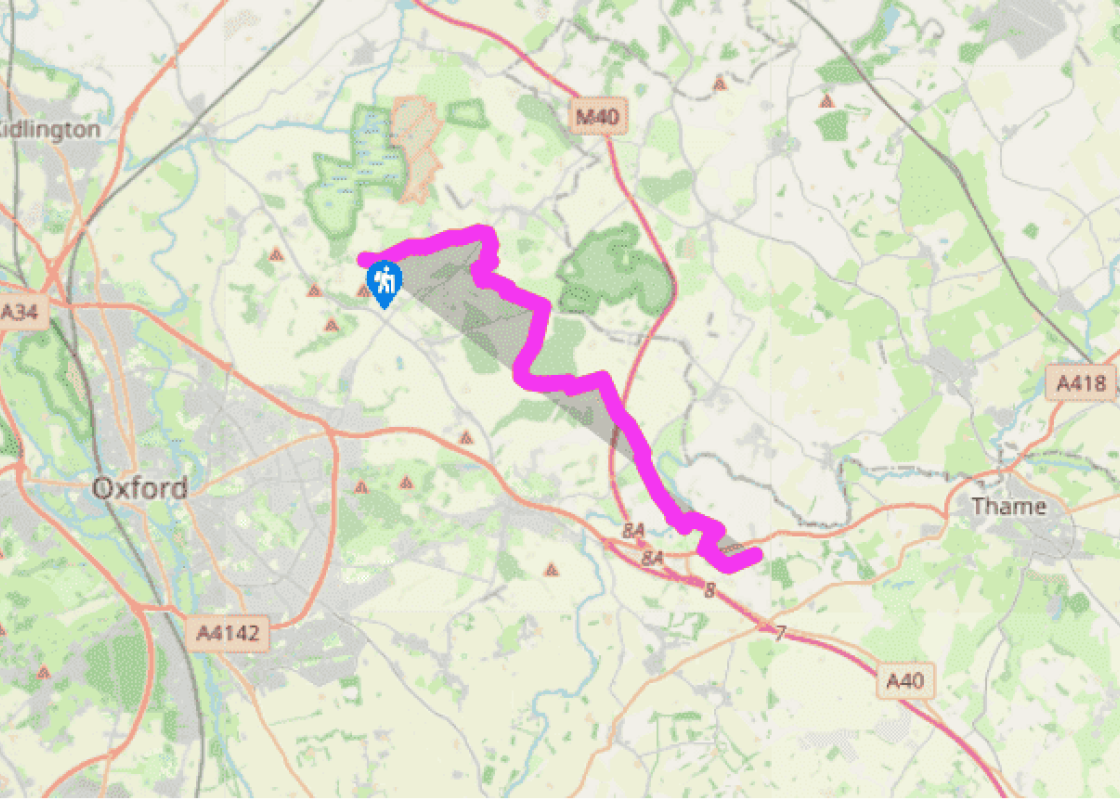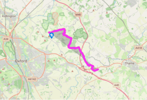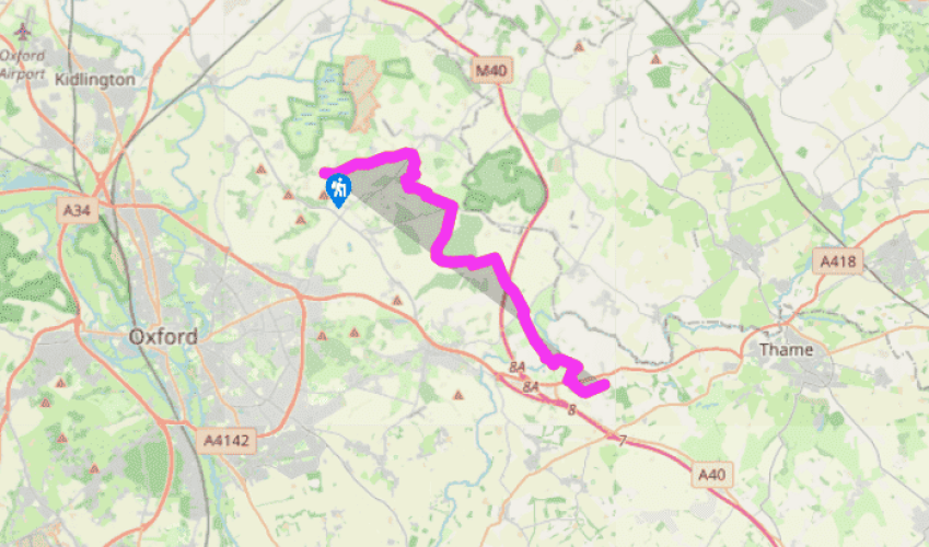
Oxfordshire Way: Beckley to Tiddington
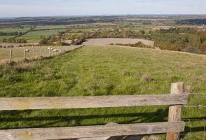
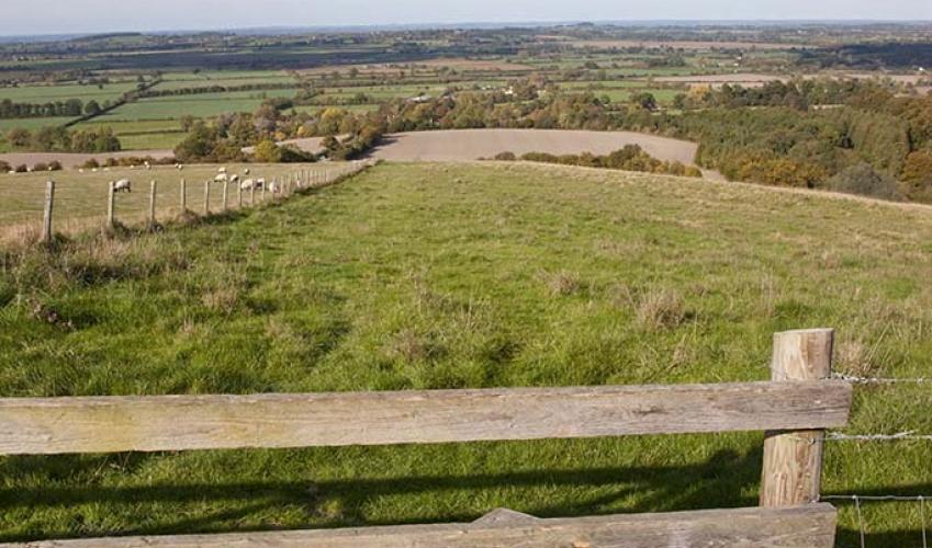
The Oxfordshire Way leaves Beckley on the lane at the eastern end of the village, and descends on to Otmoor. On the left is a moated mansion, Beckley Park, built in 1540 by Lord Williams of Thame, probably as a hunting lodge. The site once belonged to King Alfred, who excavated the moats. At the bottom of the hill, cross the drive to Beckley Park and follow the waymarks across meadowland to the road between Horton-cum-Studley and Woodperry, where it is possible to break the walk and catch a bus from Horton-cum-Studley to Oxford.
The Oxfordshire Way crosses the road and cuts across two fields to walk two sides of a wood before taking the first hedge and field edge to Danesbrook Farm. Skirting the edge of the farm, it’s then a straight walk on tarmac to Menmarsh Guide Post (don’t expect a post though; nothing remains) and the second shrunken medieval forest on this walk, the royal forest of Bernwood. Medieval kings hunted Bernwood from a hilltop palace at nearby Brill in Buckinghamshire. Pass the forest’s depleted remains at gloriously named Polecat End and Drunkard’s Corner, to cut right to the corner of the very narrow watermeadow then left into a large field.

Been on this walk?
Send us photos or a comment about this route. Or recommend a route of your own.

Walking in Safety
Read our tips to look after yourself and the environment when following this walk.

Get an AA guide
Explore our range of ‘50 Walks in’ guides - they’re the ideal companion for a ramble.
Been on this walk?
Send us photos or a comment about this route. Or recommend a route of your own.
Walking in Safety
Read our tips to look after yourself and the environment when following this walk.
Get an AA guide
Explore our range of ‘50 Walks in’ guides - they’re the ideal companion for a ramble.

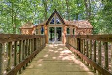
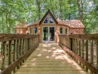
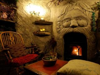
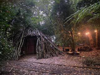
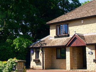
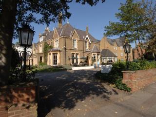
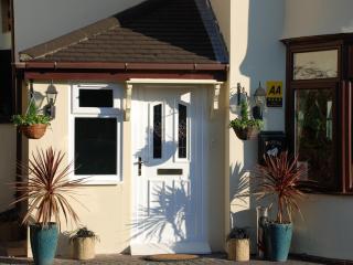
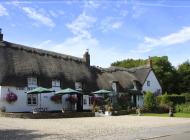
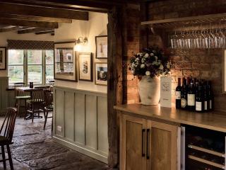
Nearby places to stay
View all (8)