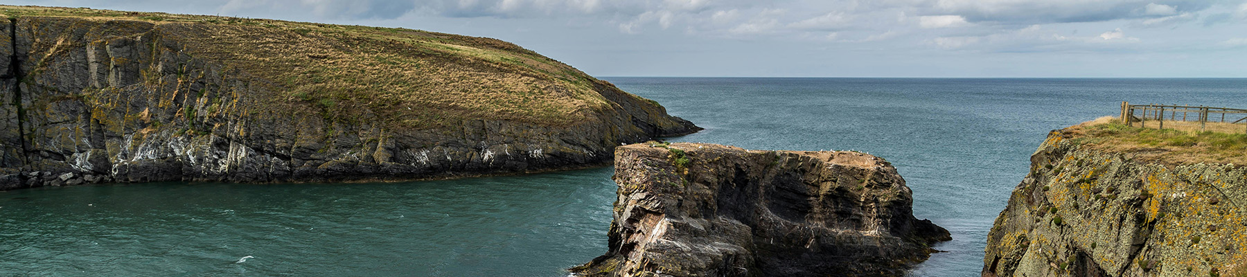
A walk from Lake Vyrnwy's dam
Recommended by

Walk directions
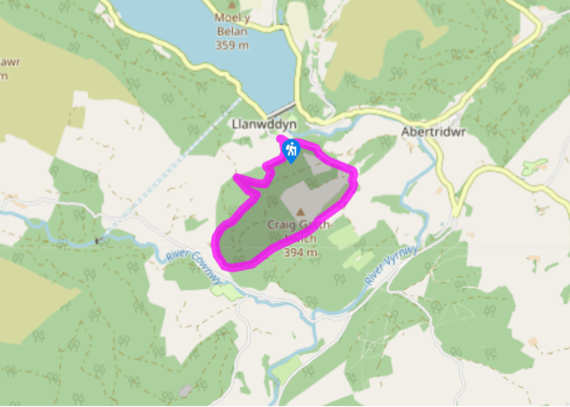
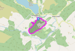
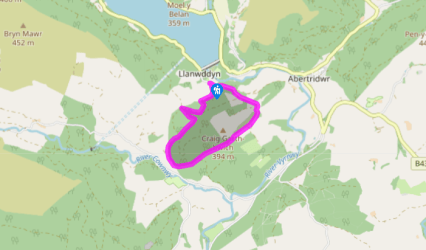
This route mostly follows the Craig Garth–bwlch Nature Trail, highlighted by dark blue waymarkers. Follow the tarmac lane past the café, beyond which you’ll see the first of the waymarkers. The lane climbs through oak woods.
Ignore the turn-off to the left down to Grwn-oer, but continue with the lane, which swings right, over Craig Garth-bwlch (hill), where the trees thin out to reveal bracken-clad hillside to the right and pastures to the left.
View all directions
Additional information
Terrain
- Country lane, forest tracks and field paths
Landscape
- Forested hills
Dog friendliness
- Farmland – dogs should be on lead
Parking
- Car park by the RSPB Visitor Centre
Toilets en route
- Near the dam, up from RSPB visitor centre
About the walk
When 18th-century traveller Thomas Pennant came to the Efyrnwy (Vyrnwy) there was no reservoir. He described a wild Welsh cwm situated ‘in hilly naked country’, property of the powerful Vaughans. Llanwddyn village snuggled in a hollow where the Afon Cedig met the Efyrnwy. In 1860 Llanwddyn was...
Read more

Been on this walk?
Send us photos or a comment about this route. Or recommend a route of your own.

Walking in Safety
Read our tips to look after yourself and the environment when following this walk.

Get an AA guide
Explore our range of ‘50 Walks in’ guides - they’re the ideal companion for a ramble.
Been on this walk?
Send us photos or a comment about this route. Or recommend a route of your own.
Walking in Safety
Read our tips to look after yourself and the environment when following this walk.
Get an AA guide
Explore our range of ‘50 Walks in’ guides - they’re the ideal companion for a ramble.
About the area
The largest unitary authority in Wales, Powys covers an area of approximately 2,000 square miles. Much of that is mountainous because it actually has the lowest population density of all the Welsh counties.
Nearby places to stay
View all (8)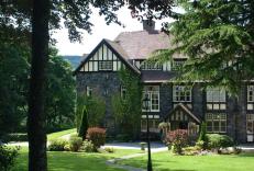


Nearby places to stay
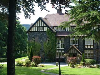
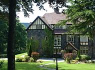
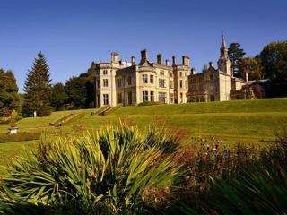
Lake Vyrnwy Hotel & Spa
Lake Vyrnwy Hotel is an elegant Victorian country-house hotel lies in 26,000 acres of woodland above its namesake, and provides a wide range of bedrooms, most with superb views and many...
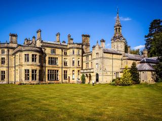
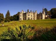
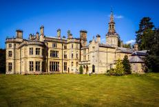
Palé Hall Hotel & Restaurant
Set on the edge of Snowdonia National Park overlooking the River Dee, Palé Hall was originally built in 1871 by industrialist Henry Robertson with the instruction that ‘no expense shoul...
The Firecat Country House
The Firecat Country House is set in the southern part of Snowdonia National Park. The house dates back to the 15th century and offers three luxury en suite bedrooms appointed with perio...

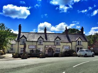
The Hand at Llanarmon
Appointed to a high standard, this inn provides a range of thoughtfully furnished bedrooms, with smart modern bathrooms. Public areas retain many original features including exposed bea...
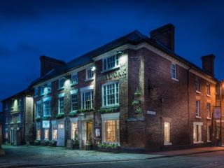
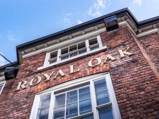
The Royal Oak
Standing in the centre of Welshpool, The Royal Oak was once the manor house for the Earl of Powys, before being used as a coaching inn for travellers en route to the Welsh coast. A rang...
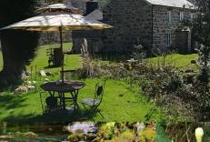
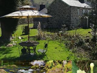
Tyn Cornel Camping
A delightful riverside park with mountain views that is a popular base for those who enjoy kayaking and canoeing – The National White Water Centre is adjacent and there is a pleasant ri...

Pen-y-Dyffryn Country Hotel
Peacefully situated in five acres of grounds, Pen-y-Dyffryn is a charming old house that dates back to around 1840, when it was built as a rectory. The tastefully appointed public rooms...

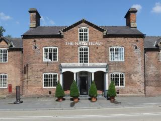
The Nags Head Inn
Once a coaching inn, the Grade II listed Nags Head but has been bought right up to date to offer modern accommodation. A warm welcome is assured from the friendly team here. Log fires i...
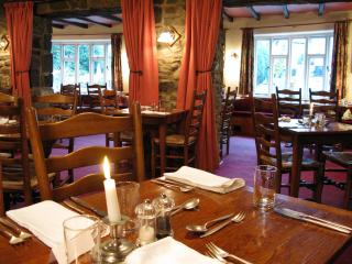
Places to eat nearby View all