A Rutland waterside walk
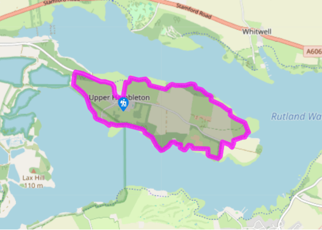
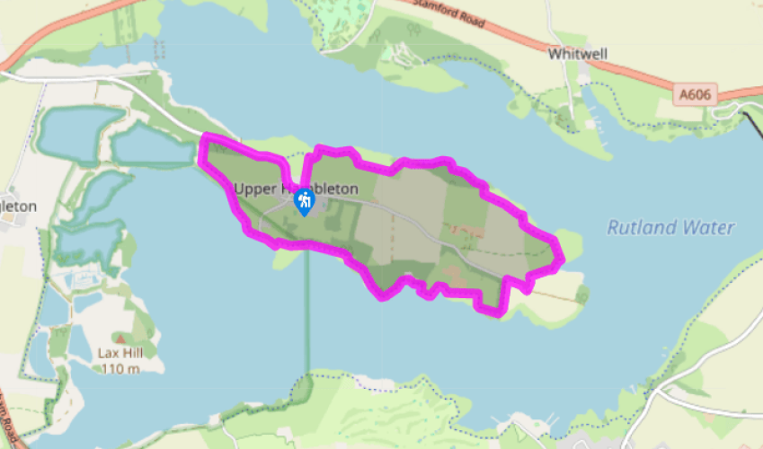
From St Andrew's Church in the centre of Hambleton, walk eastwards on the long main street as far as the red pillar box. Turn left opposite the pillar box on a wide track indicated 'public footpath' that leads straight through three gates and down the middle of a sloping field.
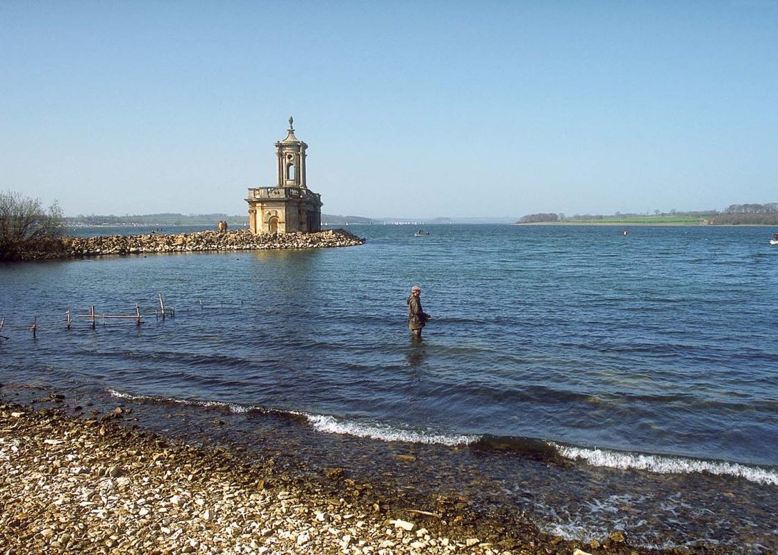
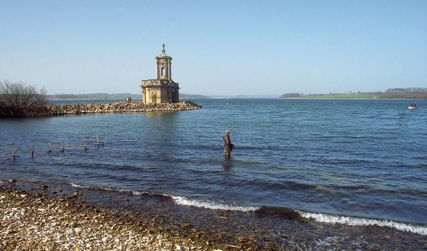
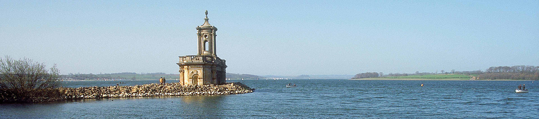
Go through the gate at the bottom of the field and turn right on to the wide track that runs just above the shore. This popular and peaceful route around the Hambleton peninsula is shared with cyclists, so enjoy the walk, but be alert. Follow it from field to field, and through Armley Wood, with ever-changing views across Rutland Water. As you gradually swing around the tip of the Hambleton peninsula with views towards the dam at the eastern end, you can begin to appreciate the sheer size of the reservoir, and how the birds, anglers, sailors and other users can all happily co-exist.

Been on this walk?
Send us photos or a comment about this route. Or recommend a route of your own.

Walking in Safety
Read our tips to look after yourself and the environment when following this walk.

Get an AA guide
Explore our range of ‘50 Walks in’ guides - they’re the ideal companion for a ramble.
Been on this walk?
Send us photos or a comment about this route. Or recommend a route of your own.
Walking in Safety
Read our tips to look after yourself and the environment when following this walk.
Get an AA guide
Explore our range of ‘50 Walks in’ guides - they’re the ideal companion for a ramble.
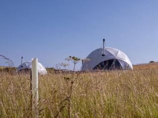
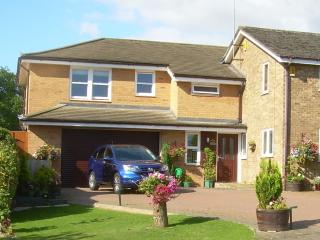
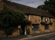
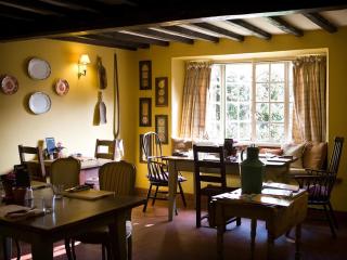
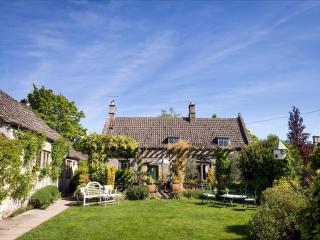
Nearby places to stay
View all (8)