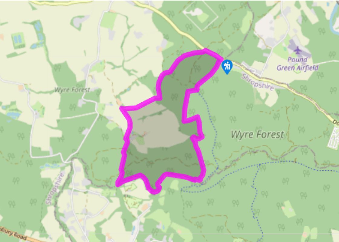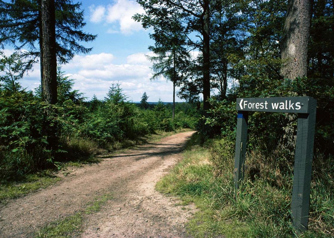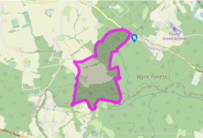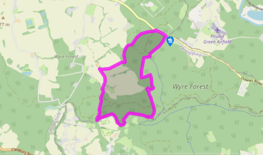
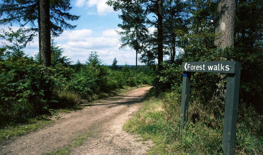
A Wyre Forest circuit
Walk through a gate on to a forest road and immediately turn right on a footpath (‘WBRA’ waymarker) into Earnwood Copse. Keep straight on at all junctions, eventually joining a sunken path not far from the edge of the forest. Fork left to pass under an over-hanging yew tree and continue downhill.
The path meets what looks like a firebreak but is actually the route of the Elan Valley pipeline, bringing Welsh water to Birmingham. Turn right and cross a footbridge in the trees to the right of the pipeline. Walk up a bank into arable fields and then head uphill, keeping just left of the hedge. At the end of the second field, turn left and go through a hedge gap, soon recrossing the hedge at a waymarked gate. A stile in a field-corner leads to a dark leafy tunnel, then a clear track, which passes a restored and extended cottage.

Been on this walk?
Send us photos or a comment about this route. Or recommend a route of your own.

Walking in Safety
Read our tips to look after yourself and the environment when following this walk.

Get an AA guide
Explore our range of ‘50 Walks in’ guides - they’re the ideal companion for a ramble.
Been on this walk?
Send us photos or a comment about this route. Or recommend a route of your own.
Walking in Safety
Read our tips to look after yourself and the environment when following this walk.
Get an AA guide
Explore our range of ‘50 Walks in’ guides - they’re the ideal companion for a ramble.
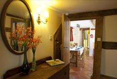
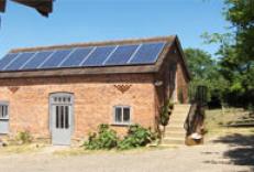
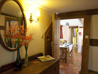
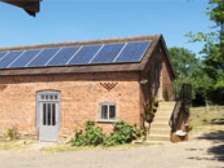
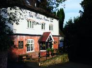
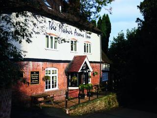
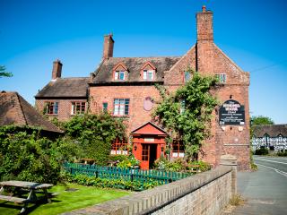
Nearby places to stay
View all (8)