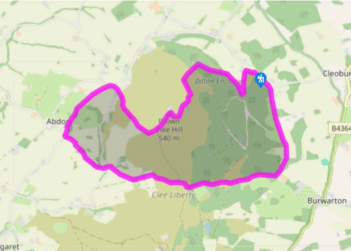
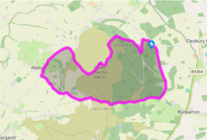
Brown Clee

Recommended by
Walk directions

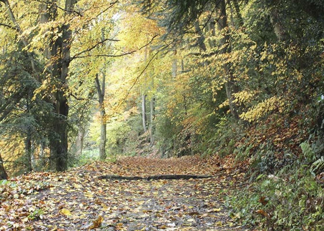
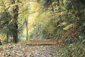
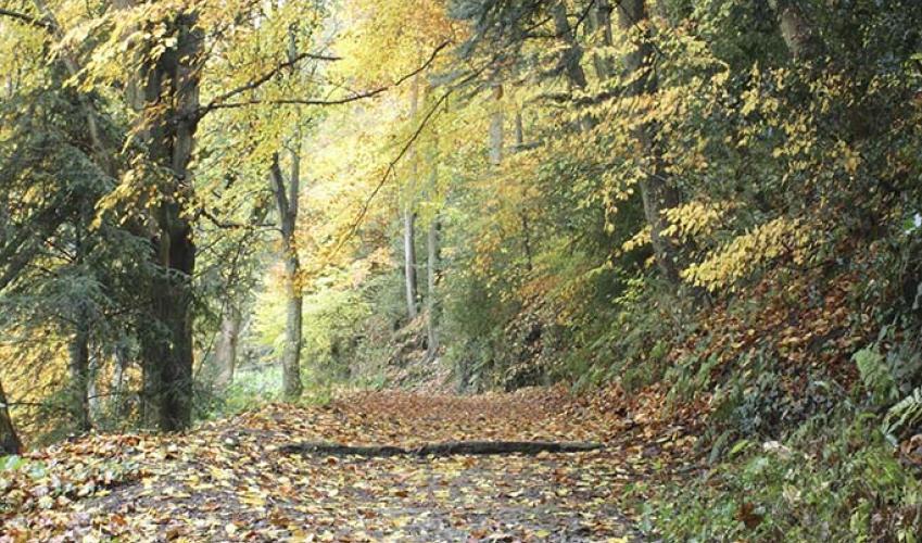
By the north end of the picnic field, at a ‘Forest Trail’ sign’, a footpath climbs to the right then swings back left. Follow it into woodland, with conifers on the left. Soon go right on a level forest track which runs along the woodland edge, soon with a field on the right.

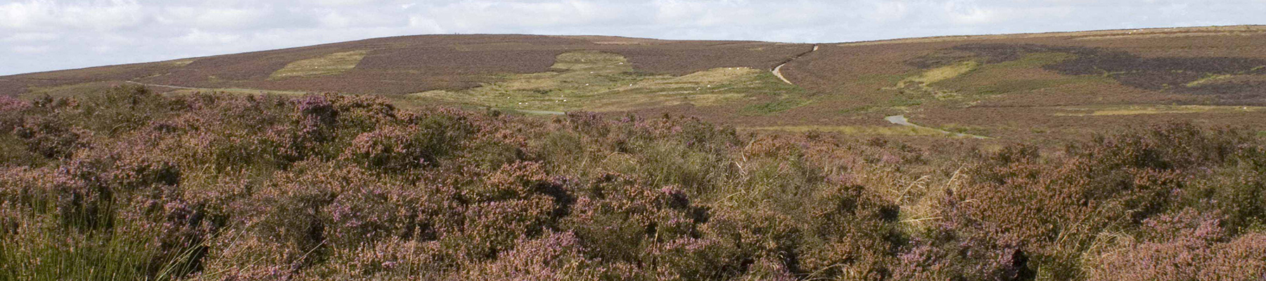
There are two houses just below the field. As you draw level with the second one, there’s a turning circle on the left, where a path rises diagonally through a plantation. Follow this to a steep straight track (the former tramway). Turn left, soon crossing a cattle grid into heathland.

View all directions
Location
Additional information
  Terrain  - Generally good, but can be very boggy in places, 3 stiles
  Landscape  - Hill, moorland, pasture and plantation
  Dog friendliness  - Excellent, but under strict control near sheep
  Parking  - Verges by Brown Clee Picnic Area, on unclassified road west of Cleobury North
  Toilets en route  - None on route
About the walk
Choose a clear day for this walk, because the stunning view from Abdon Burf, the higher of Brown Clee’s twin summits, extends from the Cotswolds to Cadair Idris. At 1,770ft, the shire’s highest hill, overtopping its sibling, Titterstone Clee, by 23ft (7m), and Stiperstones by just 13ft (4m). Brown...
Read more
Been on this walk placeholder

Been on this walk?

Send us photos or a comment about this route. Or recommend a route of your own.

Walking in Safety placeholder

Walking in Safety

Read our tips to look after yourself and the environment when following this walk.

Get an AA guide placeholder

Get an AA guide

Explore our range of ‘50 Walks in’ guides - they’re the ideal companion for a ramble.

About the area
Perhaps nowhere else in England will you find a county so deeply rural and with so much variety as Shropshire. Choose a clear day, climb to the top of The Wrekin, and look down on that ‘land of lost content’ so wistfully evoked by A E Housman.
Area image

Brown Clee

Recommended by
Dog friendly
Location
Nearest postcode:
Additional information
  Terrain - Generally good, but can be very boggy in places, 3 stiles
  Landscape - Hill, moorland, pasture and plantation
  Dog friendliness - Excellent, but under strict control near sheep
  Parking - Verges by Brown Clee Picnic Area, on unclassified road west of Cleobury North
  Toilets en route - None on route
About the walk
Choose a clear day for this walk, because the stunning view from Abdon Burf, the higher of Brown Clee’s twin summits, extends from the Cotswolds to Cadair Idris. At 1,770ft, the shire’s highest hill, overtopping its sibling, Titterstone Clee, by 23ft (7m), and Stiperstones by just 13ft (4m). Brown...
Read more
Been on this walk placeholder

Been on this walk?

Send us photos or a comment about this route. Or recommend a route of your own.

Walking in Safety placeholder

Walking in Safety

Read our tips to look after yourself and the environment when following this walk.

Get an AA guide placeholder

Get an AA guide

Explore our range of ‘50 Walks in’ guides - they’re the ideal companion for a ramble.

About the area
Area image
Shropshire
Perhaps nowhere else in England will you find a county so deeply rural and with so much variety as Shropshire. Choose a clear day, climb to the top of The Wrekin, and look down on that ‘land of lost content’ so wistfully evoked by A E Housman.