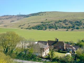
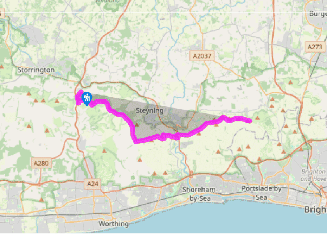
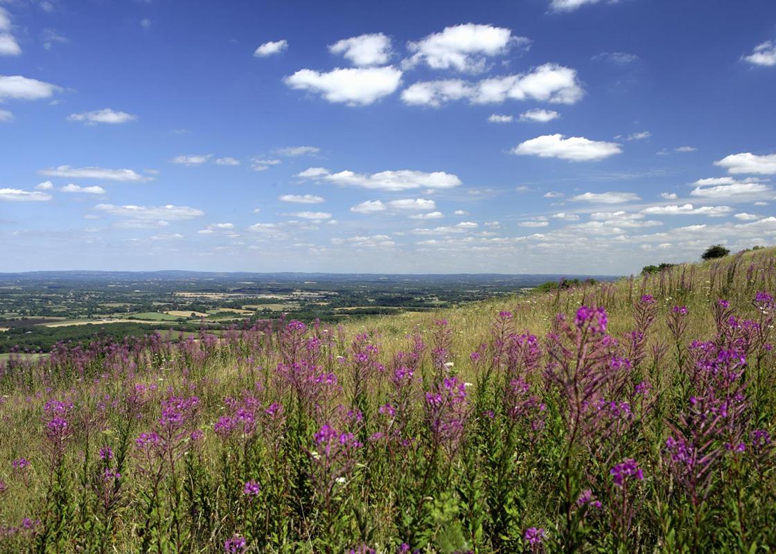
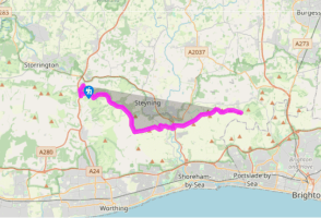
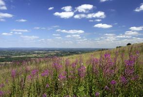
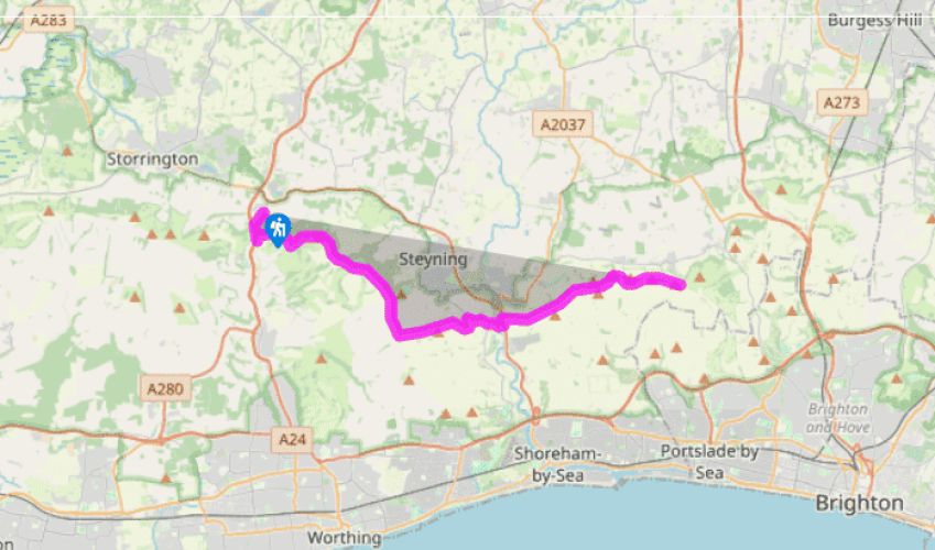
South Downs Way: Washington to Fulking Hill
The route begins by following the old London Rd south out of Washington to a car park.
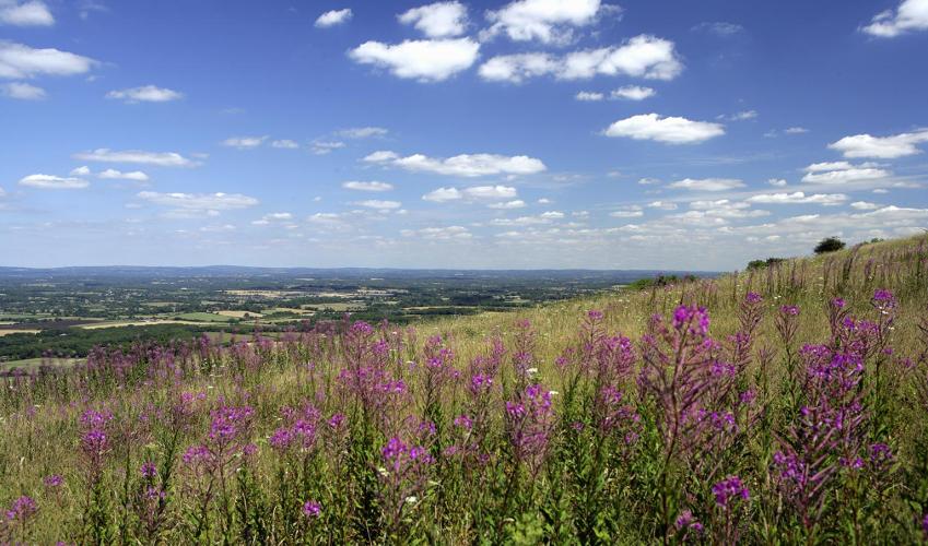
Here a wide chalk and flint track heads up towards the distinct circle of trees that is Chanctonbury Ring. Beyond a dewpond, the route passes a trig point at 780ft (238m).
From here it heads east along the top of the Downs past Chanctonbury Ring which sits at the top of Chanctonbury Hill.
The route turns southeast, with Wiston Park and the 16th-century Wiston House to the northeast, below. It follows a wide chalk track on a slight downhill slope, crossing open grassland with fine views ahead and the urban sprawl of Shoreham and Worthing in the distance. Steyning comes into view at the bottom of Steyning Round Hill, where a Bronze Age burial site was excavated in 1949. By a trig point at 620ft (189m), a footpath leads steeply downhill to this small, interesting town. Close by is Bramber, which boasts the remains of an 11th-century Norman castle that are openly accessible. This was a busy port in medieval times, before the Adur estuary became too silted up for navigation.
On the top of the down above Steyning and Bramber, the South Downs Way follows an off-road route adjacent to the road for a short distance, passing by Steyning Bowl on the left. This is a magnificent natural amphitheatre cut into the hillside, and a popular launching place for hang gliders.
About 0.5 miles (800m) on, the route turns left off the road, crossing a grassy field by the side of Annington Hill, with the valley of the River Adur coming into sight ahead. This is part of the South Downs Way signals the start of more open country. A hard track leads downhill, joining a narrow road by Annington Farm, and heads east towards St Botolph’s Church, on the riverside near the site of a Saxon farmstead. A hundred yards or so before the church, a track turns left to cross the river by a
footbridge; here there is a water tap to drink from.
On the east side of the River Adur, the route follows the A283 Shoreham road for a couple of hundred yards to the north, before turning right on to a track which heads up the side of Beeding Hill. This leads to a narrow road on the top of the Downs with a panoramic view of the valley behind and, far beyond to the southwest, the magnificent 19th-century chapel of Lancing College, built on a hill. The school’s founder, Canon Woodward, decreed that his chapel must be seen from the sea and all around, and he indeed created a remarkable landmark.
The road leads east along the top of this bleak down, passing Truleigh Hill hostel at Tottington Barn; the only YHA youth hostel directly on the route of the South Downs Way. From here the road becomes a track, passing the radio masts and trig point at 709ft (216m) on Truleigh Hill, and crossing National Trust land by the earthwork remains of an ancient Norman motte-and-bailey on Edburton Hill. Here you can look over to Thundersbarrow Hill to the south, an important site of Roman and Iron Age settlements. Beyond the electricity pylons, as the route follows an undulating track towards Fulking Hill, a footpath leads left, down into Fulking village, where the picturesque Shepherd and Dog pub has a freshwater spring gushing from the hillside and a warm welcome for walkers.
Been on this walk?
Send us photos or a comment about this route. Or recommend a route of your own.
Walking in Safety
Read our tips to look after yourself and the environment when following this walk.
Get an AA guide
Explore our range of ‘50 Walks in’ guides - they’re the ideal companion for a ramble.
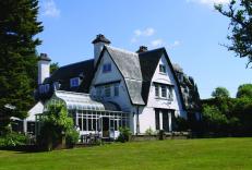
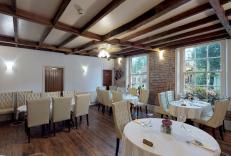
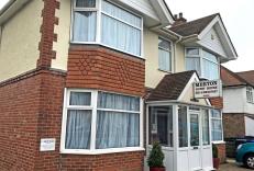
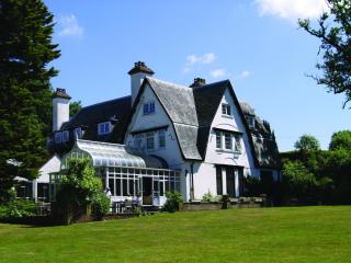
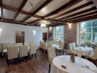
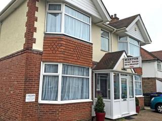
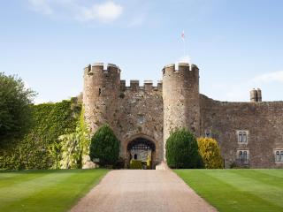
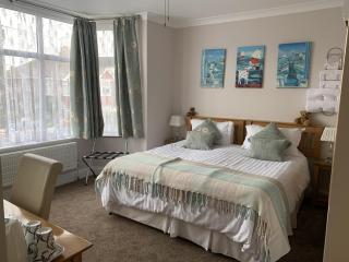
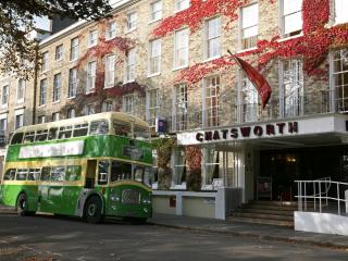
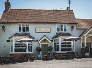
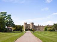
Nearby places to stay
View all (8)
- Rooms 27
- Rooms 20
- Satellite TV
- Wifi
- Open parking
- Rooms 7
- Free TV
- Wifi
- Open parking


