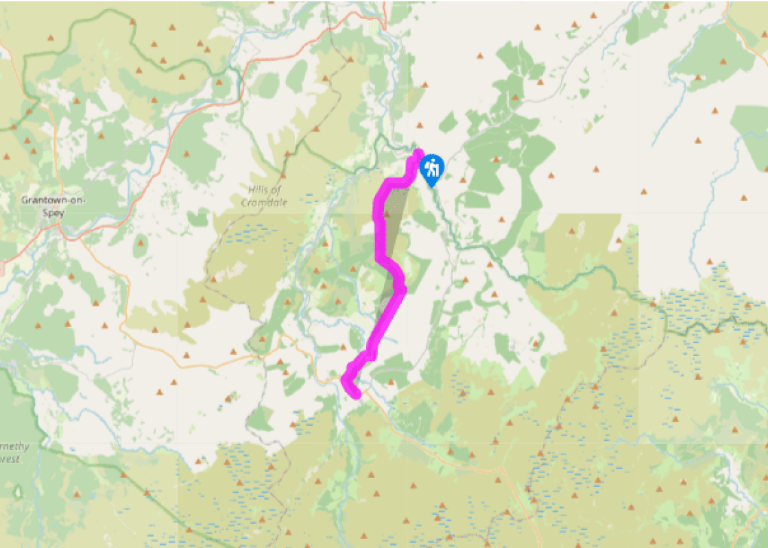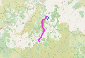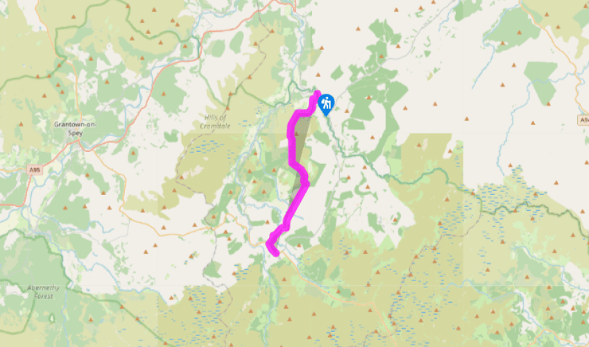

Speyside Way (Tominoul Spur): Glenlivet to Tomintoul
Turn left along B9008 for a short distance and then turn sharp right down a lane to a ford and footbridge. Here a granite stone marks the entrance to the Cairngorms National Park. A track ahead leads up to join the distillery road. Turn left past the distillery – the Visitor Centre is just up on your right. (A Smugglers' Trails leaflet, available at the Visitor Centre, suggests less exposed alternative routes towards Tomintoul by way of yet another distillery at Tomnavoulin.)
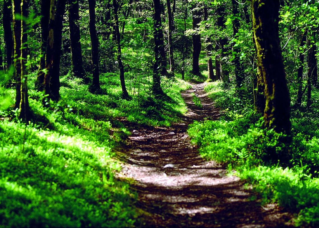
Fortified by the free dram, continue up the lane to turn right at Glenlivet House. Turn off on a track leading past the old farmhouse Woodside. Above it a path has been made at the edge of a forestry plantation. At its top gate a much better, broader path is joined, rising to a pass below Carn Liath (grey hill). For the whole of this section there are superb views back to Ben Rinnes, a notable landmark with its rock tors, or scurrs, prominent. It is a superb climb if you have time to spare either during or after the walk; but for the moment the target is Carn Daimh.

Been on this walk?
Send us photos or a comment about this route. Or recommend a route of your own.

Walking in Safety
Read our tips to look after yourself and the environment when following this walk.

Get an AA guide
Explore our range of ‘50 Walks in’ guides - they’re the ideal companion for a ramble.
Been on this walk?
Send us photos or a comment about this route. Or recommend a route of your own.
Walking in Safety
Read our tips to look after yourself and the environment when following this walk.
Get an AA guide
Explore our range of ‘50 Walks in’ guides - they’re the ideal companion for a ramble.
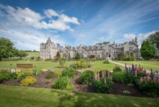
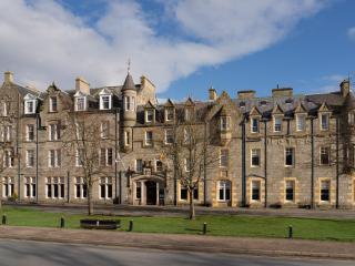
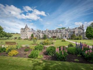
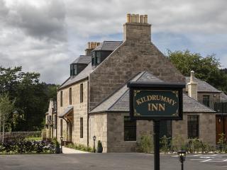
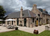
Nearby places to stay
View all (8)