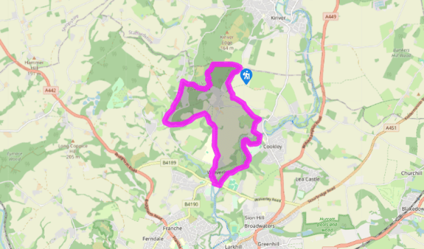
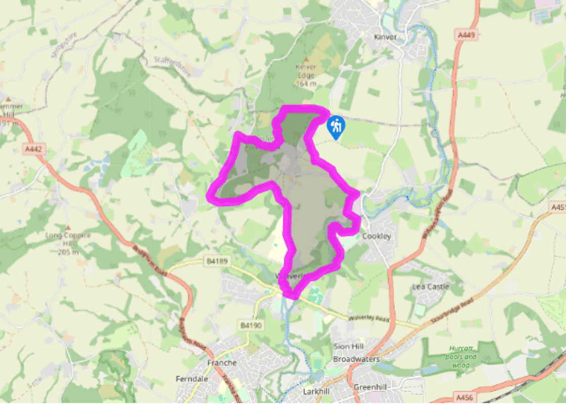
Take the sandy track inside the northern edge of the forest park (closest to the fence, not the path waymarked ‘Woodpecker/Nuthatch Trail’) for 550yds (503m), to the end of Kinver Edge Farm’s extensive garden, flanked by panelled fencing. To the left is a wide glade, falling gently; ahead rises the woodland track.
With a National Trust ‘Kinver Edge’ sign on your right, and a track to your left, continue for 160yds (146m) to a fingerpost that includes ‘Staffordshire Way’, indicating the county border. Turn left down this good track. Soon fork left of a fenced-off, covered reservoir. At a junction turn right, but in 40yds (37m) – see Severn Trent Water’s ‘Blakeshall’ sign through the fence – turn left. After 160yds (146m) at the forest edge, turn right on the inner path, that is, through gate posts, passing a bench 30yds (27m) beyond it. Go along here for 425yds (389m) to reach a T-junction.
Here, do not turn left along the Worcestershire Way, but turn right for just 10yds (9m), then immediately left on a path running through pines and silver birch. Reach a road junction within 200yds (183m) and go down Castle Hill Lane. Within 160yds (146m) take the waymarked path left, opposite the house, ‘Saddlebrook Kingsford’. This green band improves to become a track, then a metalled road, passing houses on the right (not down Castle Hill). Turn right, passing Lower Kingsford Farm entrance and mobile homes, to reach a T-junction.
Here turn left, crossing over to the pavement set back from the road. At the next T-junction cross the road and go straight on, along a works access road, to reach a path into woods beside a timber-framed house. Ascend gently. Beside a house with decorative walling (Solcum Farm), join a lane that goes straight ahead. At the next junction, beside conifers, turn right, away from the North Worcestershire Path, following this minor road (which becomes Blakeshall Lane) towards Wolverley.
Descend into Wolverley past the school. See the footbridge alongside The Queen’s Head, but take the route between two ‘No Entry’ road signs. Reach the Church of St John the Baptist by iron gates, zig-zagging up the concreted footpath through a deep cutting (if the gates are locked use the road). Leave the churchyard by modern steps. Go down the meadow opposite (with a fingerpost) to a minor road.
Turn right. At the B4189, turn left. In front of The Lock public house turn left, along the tow path. After about 1.25 miles (2km) is Debdale Lock, partly hewn into the rock. Some 220yds (201m) further, just before the steel wheel factory, is a kissing gate.
Turn left here along a track. (Alternatively continue for 150yds (137m) for refreshments in Cookley.) At a T-junction after a coniferous avenue, turn right on a broad gravel track. After about 350yds (320m) turn left (waymarker), up some wooden steps, into trees. Go up the left-hand edge of one field, past double electricity poles, and up the centre of another to a road. Turn left for just 15yds (14m), then right. Some 400yds (366m) along this hedged lane turn right, contrary to the blue arrow pointing ahead. At the next stile wiggle left, then right. Proceed straight ahead at a junction to the road. Turn right. In 150yds (137m), move left into the trees to re-enter the country park. Two paths run parallel to the road – both lead back to the car park.
On this and other walks you may come across dense spindley woodland that somehow ‘doesn’t look right’. Such areas of trees may be to the oak what a pile of stones is to an old church: a ruin. The occurrence of the word ‘coppice’ on a map – Solcum Coppice, Gloucester Coppice – often indicates a... woodland of historical importance to the local economy. With its proximity to the industries of the West Midlands, local charcoal production (especially in the Wyre Forest) was considerable. Is charcoal an invention or a discovery? Probably it was ‘discovered’ by accident, and its subsequent uses were invented. It is wood that has been incompletely burned (in a controlled way) by being deprived of much of the oxygen that would otherwise render it a pile of ashes. Woods used for charcoal-making include hazel (a favourite because of its prolific regrowth), ash, oak and alder buckthorn, among others The raw material was cut and left to dry or ‘season’ for several months before use. This, together with how well and for how long the ‘kiln’ was burning, were key factors in determining the yield – 15–25 per cent was good, and 30 per cent exceptional. The kiln was a temporary structure, essentially a mound or dome of logs carefully constructed around a central airway, the whole being covered with turf, ideal since the roots of the grass bound the soil together tightly, and the turfs were easier to handle than soil on its own. Turf would also be used to cover the airway once a fire had been established at the core. It could take several days to complete the charcoal-making process. Of course, much of the weight lost is evaporated moisture. When re-ignited, the charcoal burns with an intensity capable of smelting metal, forging iron, and making glass, as well as blackening your burger. Gunpowder is concocted from three ingredients – charcoal, sulphur and saltpetre (potassium nitrate). Only when the coal derivative, coke, was introduced was charcoal superseded as an intensive heat source. (Coke later gave way to oil and gas, which also have the advantage of being easier to control.)
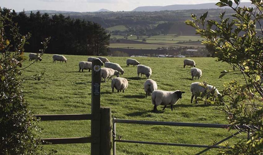
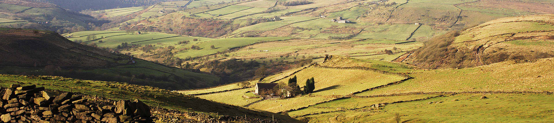
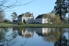
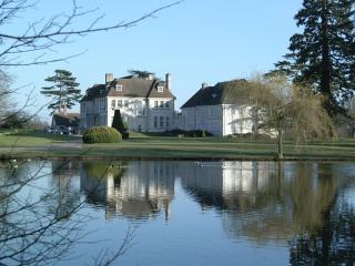
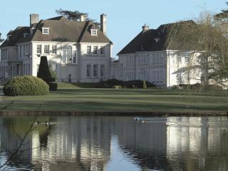
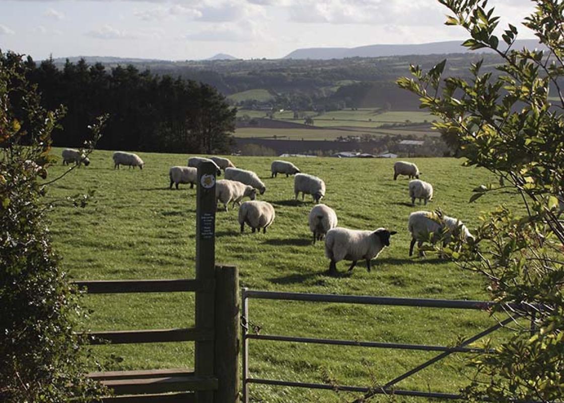
Staffordshire features lofty moors, deep dales and tremendous views of both. Further south are the six sprawling towns that make up Stoke-on-Trent, which historically have had such an impact on Staffordshire’s fortunes, not to mention its culture and countryside.
Take the sandy track inside the northern edge of the forest park (closest to the fence, not the path waymarked ‘Woodpecker/Nuthatch Trail’) for 550yds (503m), to the end of Kinver Edge Farm’s extensive garden, flanked by panelled fencing. To the left is a wide glade, falling gently; ahead rises the woodland track.
1 of 7
With a National Trust ‘Kinver Edge’ sign on your right, and a track to your left, continue for 160yds (146m) to a fingerpost that includes ‘Staffordshire Way’, indicating the county border. Turn left down this good track. Soon fork left of a fenced-off, covered reservoir. At a junction turn right, but in 40yds (37m) – see Severn Trent Water’s ‘Blakeshall’ sign through the fence – turn left. After 160yds (146m) at the forest edge, turn right on the inner path, that is, through gate posts, passing a bench 30yds (27m) beyond it. Go along here for 425yds (389m) to reach a T-junction.
2 of 7
Here, do not turn left along the Worcestershire Way, but turn right for just 10yds (9m), then immediately left on a path running through pines and silver birch. Reach a road junction within 200yds (183m) and go down Castle Hill Lane. Within 160yds (146m) take the waymarked path left, opposite the house, ‘Saddlebrook Kingsford’. This green band improves to become a track, then a metalled road, passing houses on the right (not down Castle Hill). Turn right, passing Lower Kingsford Farm entrance and mobile homes, to reach a T-junction.
3 of 7
Here turn left, crossing over to the pavement set back from the road. At the next T-junction cross the road and go straight on, along a works access road, to reach a path into woods beside a timber-framed house. Ascend gently. Beside a house with decorative walling (Solcum Farm), join a lane that goes straight ahead. At the next junction, beside conifers, turn right, away from the North Worcestershire Path, following this minor road (which becomes Blakeshall Lane) towards Wolverley.
4 of 7
Descend into Wolverley past the school. See the footbridge alongside The Queen’s Head, but take the route between two ‘No Entry’ road signs. Reach the Church of St John the Baptist by iron gates, zig-zagging up the concreted footpath through a deep cutting (if the gates are locked use the road). Leave the churchyard by modern steps. Go down the meadow opposite (with a fingerpost) to a minor road.
5 of 7
Turn right. At the B4189, turn left. In front of The Lock public house turn left, along the tow path. After about 1.25 miles (2km) is Debdale Lock, partly hewn into the rock. Some 220yds (201m) further, just before the steel wheel factory, is a kissing gate.
6 of 7
Turn left here along a track. (Alternatively continue for 150yds (137m) for refreshments in Cookley.) At a T-junction after a coniferous avenue, turn right on a broad gravel track. After about 350yds (320m) turn left (waymarker), up some wooden steps, into trees. Go up the left-hand edge of one field, past double electricity poles, and up the centre of another to a road. Turn left for just 15yds (14m), then right. Some 400yds (366m) along this hedged lane turn right, contrary to the blue arrow pointing ahead. At the next stile wiggle left, then right. Proceed straight ahead at a junction to the road. Turn right. In 150yds (137m), move left into the trees to re-enter the country park. Two paths run parallel to the road – both lead back to the car park.
On this and other walks you may come across dense spindley woodland that somehow ‘doesn’t look right’. Such areas of trees may be to the oak what a pile of stones is to an old church: a ruin. The occurrence of the word ‘coppice’ on a map – Solcum Coppice, Gloucester Coppice – often indicates a... woodland of historical importance to the local economy. With its proximity to the industries of the West Midlands, local charcoal production (especially in the Wyre Forest) was considerable. Is charcoal an invention or a discovery? Probably it was ‘discovered’ by accident, and its subsequent uses were invented. It is wood that has been incompletely burned (in a controlled way) by being deprived of much of the oxygen that would otherwise render it a pile of ashes. Woods used for charcoal-making include hazel (a favourite because of its prolific regrowth), ash, oak and alder buckthorn, among others The raw material was cut and left to dry or ‘season’ for several months before use. This, together with how well and for how long the ‘kiln’ was burning, were key factors in determining the yield – 15–25 per cent was good, and 30 per cent exceptional. The kiln was a temporary structure, essentially a mound or dome of logs carefully constructed around a central airway, the whole being covered with turf, ideal since the roots of the grass bound the soil together tightly, and the turfs were easier to handle than soil on its own. Turf would also be used to cover the airway once a fire had been established at the core. It could take several days to complete the charcoal-making process. Of course, much of the weight lost is evaporated moisture. When re-ignited, the charcoal burns with an intensity capable of smelting metal, forging iron, and making glass, as well as blackening your burger. Gunpowder is concocted from three ingredients – charcoal, sulphur and saltpetre (potassium nitrate). Only when the coal derivative, coke, was introduced was charcoal superseded as an intensive heat source. (Coke later gave way to oil and gas, which also have the advantage of being easier to control.)
Staffordshire features lofty moors, deep dales and tremendous views of both. Further south are the six sprawling towns that make up Stoke-on-Trent, which historically have had such an impact on Staffordshire’s fortunes, not to mention its culture and countryside.