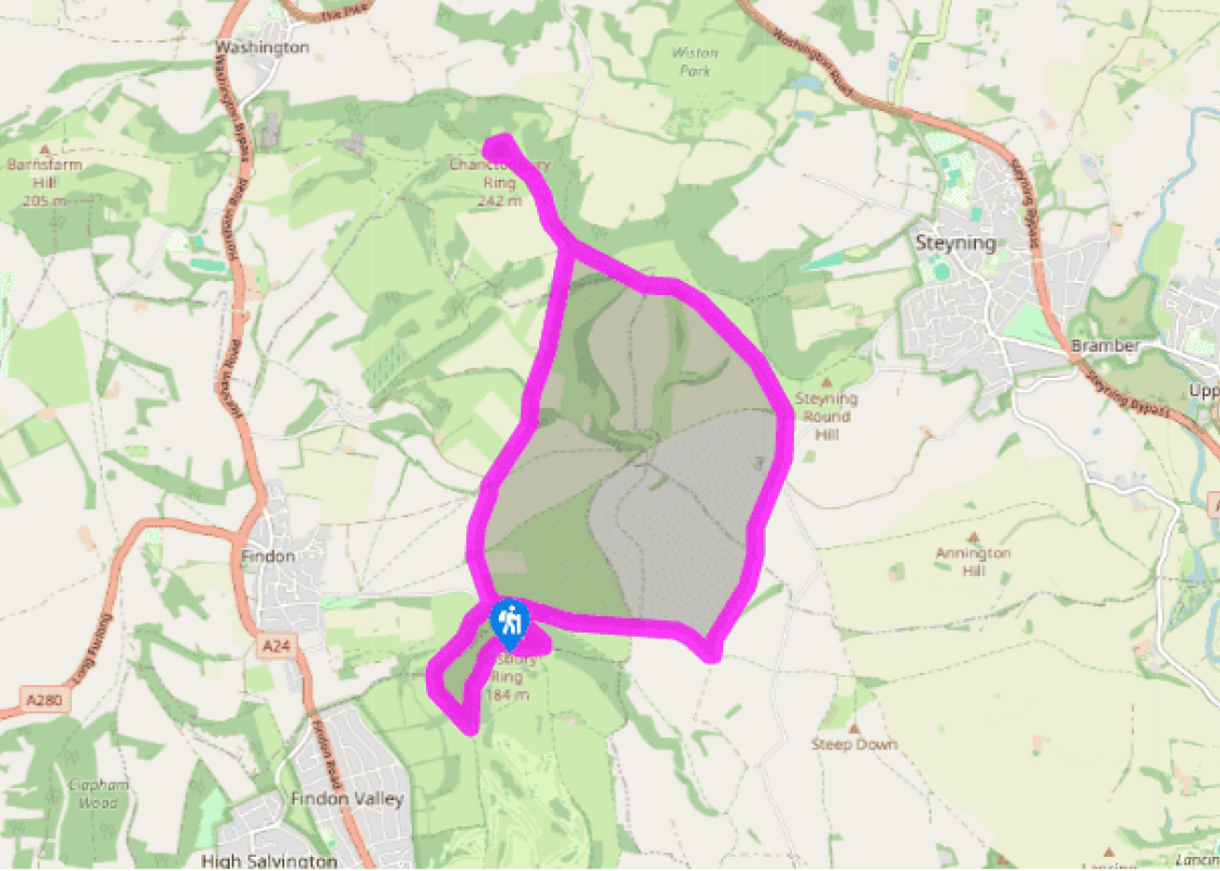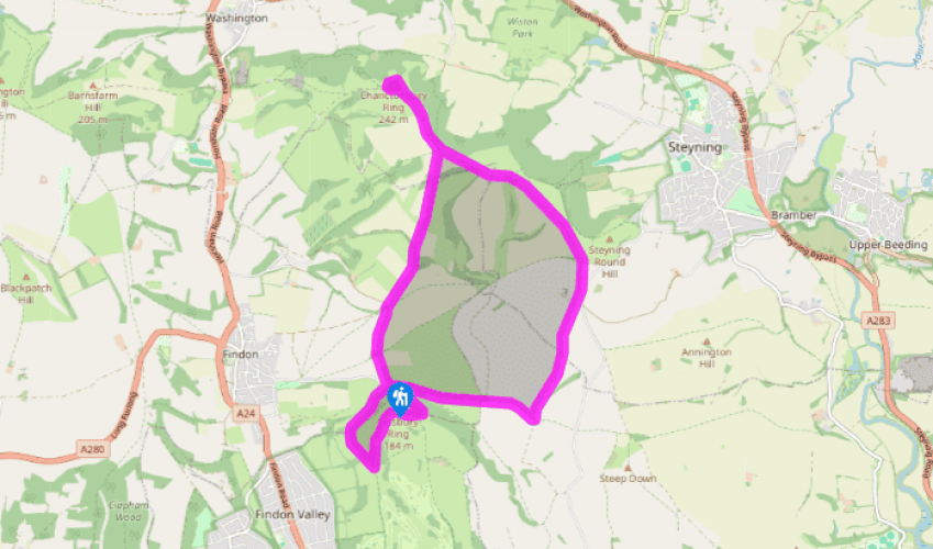
Cissbury Ring to Chanctonbury Ring
Recommended by

Walk directions
Turn left out of the car park, away from Cissbury Ring hill-fort. The track heads in a more or less straight line to the South Downs Way, periodically marked with dark red arrows. At the first junction, keep ahead.
At the next junction, generally keep ahead by avoiding a right fork, and keeping right at the next junction just after (avoiding a descending track to the left). Keep right at a fork where trees appear on the left. The track leads in a straight line, between fences.
Later ignore a fork to the right, at a waymarker post.
View all directions
Additional information
Terrain
- Firm, grassy downland tracks
Landscape
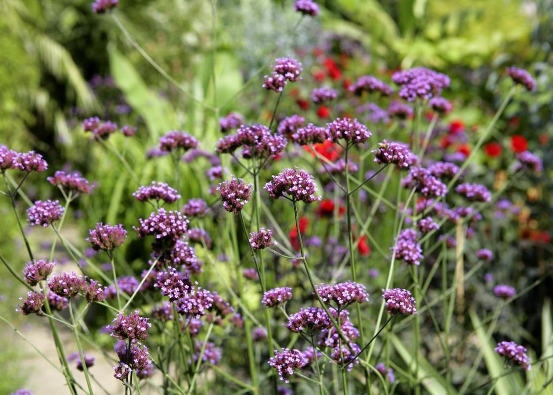
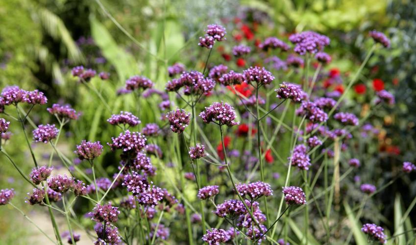
- Open downland, grassy ramparts of hill-fort
Dog friendliness
- Lead required around grazing sheep
Parking
- Car park at Cissbury Ring, accessed from Findon village centre
Toilets en route
- None on route
About the walk
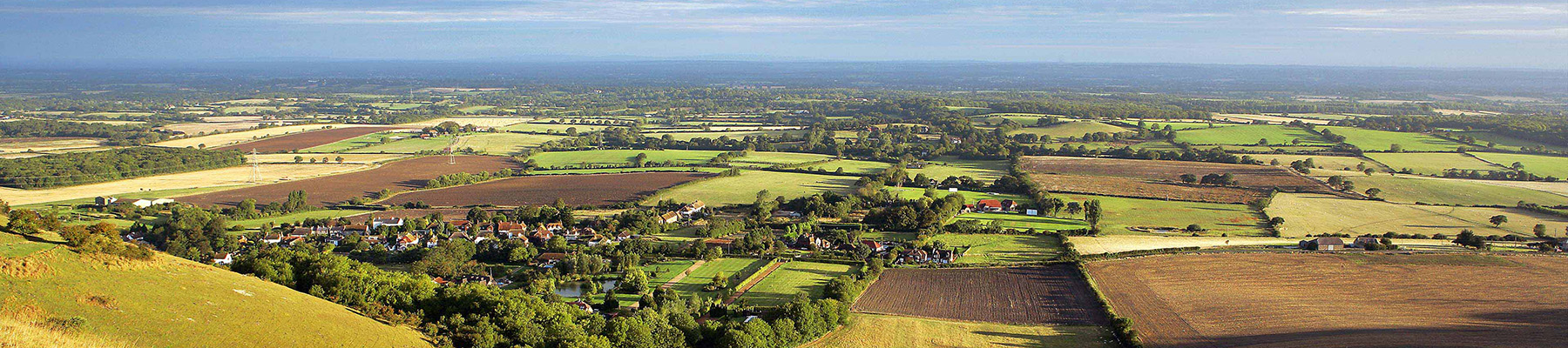
High up on the downs north of Worthing, and connected by lonely, chalky tracks where you have little except sheep and skylarks for company, lie two very contrasting prehistoric sites. Both were supposedly created by the Devil when he dug up giant clods of earth in creating the Devil’s Dyke near...
Read more

Been on this walk?
Send us photos or a comment about this route. Or recommend a route of your own.

Walking in Safety
Read our tips to look after yourself and the environment when following this walk.

Get an AA guide
Explore our range of ‘50 Walks in’ guides - they’re the ideal companion for a ramble.
Been on this walk?
Send us photos or a comment about this route. Or recommend a route of your own.
Walking in Safety
Read our tips to look after yourself and the environment when following this walk.
Get an AA guide
Explore our range of ‘50 Walks in’ guides - they’re the ideal companion for a ramble.
About the area
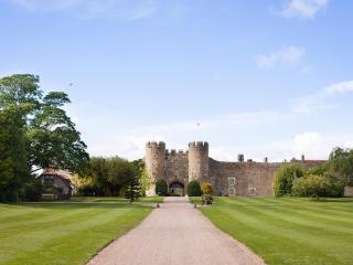
Divided from East Sussex back in 1888, West Sussex has a variety of landscapes and coastal scenery, but it is the spacious and open South Downs with which the county is most closely associated. There are plenty of walking routes in the South Downs National Park, cycling routes by the sea or visitors can explore the pretty town of Arundel with its historic castle and buildings.
Nearby places to stay
View all (8)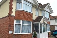


Nearby places to stay
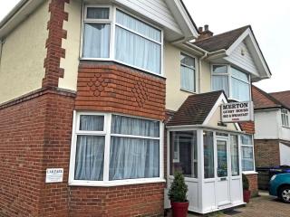
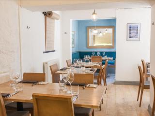
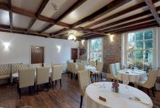
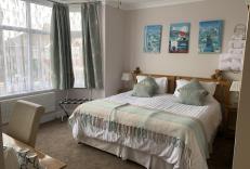
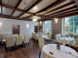
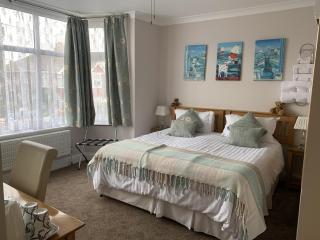
Merton House
Merton House is a family-run establishment located on the road into Worthing, a few minutes from the town centre and seafront. There are seven en suite bedrooms, all of a very tradition...
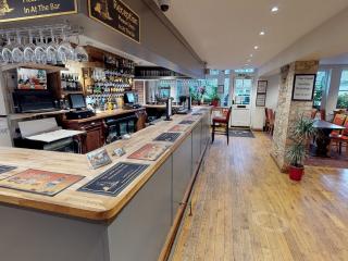
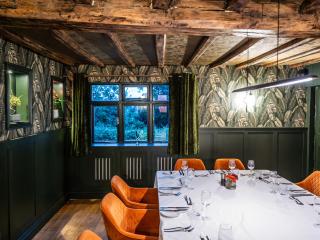
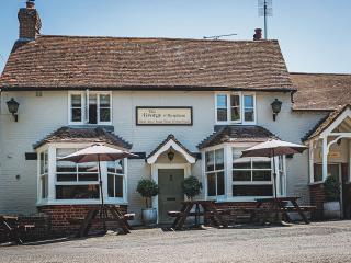
The Castle Inn
A family-run independent inn located in the quaint village of Bramber, just a stone's throw from the ruined medieval Bramber Castle. The inn has retained plenty of its original characte...
Camelot House
A great base for exploring the South Downs National Park, relaxing in Worthing, a trip to ‘Glorious Goodwood’ or visiting Brighton and area, Camelot House is a delightful guest house in...

Ardington Hotel
Overlooking Steyne Gardens adjacent to the seafront, the Ardington Hotel offers well-appointed bedrooms with a good range of facilities. There's a stylishly modern lounge/bar with ample...
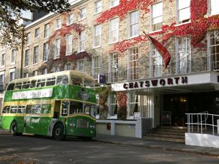
Chatsworth Hotel
Chatsworth Hotel is Worthing's oldest and largest hotel, family-run for four generations since 1807. It’s Grade II-listed, with a beautiful Georgian frontage, and is ideally located in ...

The Burlington
This imposing Victorian seafront building has friendly staff and a modern contemporary look that appeals to a wide clientele. The smart, brasserie-style Sea Pearl restaurant and bar has...
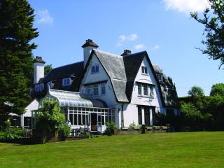
Tottington Manor
Situated on the edge of the South Downs National park, with panoramic views of the hills, Tottington Manor Hotel is an idyllic place for a weekend break, short walking holiday, wedding ...
Abingworth Hall
Set in lovely gardens in a peaceful South Downs village, Abingworth Hall offers country house charm with its wood-panelled walls, beamed ceilings and wood-burning stove. Bedrooms come w...
Places to eat nearby View all