Tennyson's Black Down
Recommended by

"Follow in the footsteps of a distinguished Victorian Poet Laureate on this gloriously wooded, high-level walk in the county's northwest corner."
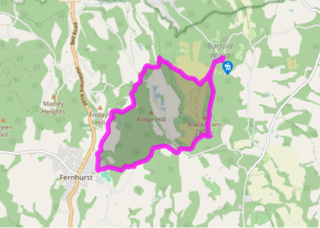
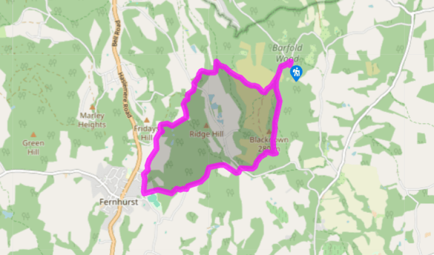
Walk directions
Turn left out of the car park and immediately left again on a rising path to the right of the National Trust sign. Keep left at the junction, then bear right at the fork and keep right just before a pond, also right, on the Sussex Border Path and Serpent Trail.
Take the second right at a junction of paths. Keep left at the fork, still on the Sussex Border Path, and pass over a crossroads and through a gate. Veer left just beyond it at the fork and drop down to some rhododendron bushes. Turn sharp left here through a gate and follow the path through a tunnel of trees.
View all directions
Additional information
Terrain
- Woodland paths and tracks, farmland and some minor roads
Landscape
- Wooded hills on Sussex/Surrey Border
Dog friendliness
- Off lead away from car park and roads
Parking
- Car park off Tennyson's Lane (by National Trust sign for Blackdown), near Aldworth House to the southeast of Haslemere
Toilets en route
- None on route
About the walk
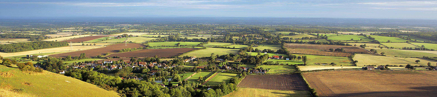
Black Down lies in some of the loveliest countryside in southern England. At 919ft (280m), this prominent, pine-clad summit is the highest point in the county, yet for some reason it has never achieved the popular status of other high Sussex landmarks such as Devil’s Dyke, Ditchling Beacon or...
Read more

Been on this walk?
Send us photos or a comment about this route. Or recommend a route of your own.

Walking in Safety
Read our tips to look after yourself and the environment when following this walk.

Get an AA guide
Explore our range of ‘50 Walks in’ guides - they’re the ideal companion for a ramble.
Been on this walk?
Send us photos or a comment about this route. Or recommend a route of your own.
Walking in Safety
Read our tips to look after yourself and the environment when following this walk.
Get an AA guide
Explore our range of ‘50 Walks in’ guides - they’re the ideal companion for a ramble.
About the area
Divided from East Sussex back in 1888, West Sussex has a variety of landscapes and coastal scenery, but it is the spacious and open South Downs with which the county is most closely associated. There are plenty of walking routes in the South Downs National Park, cycling routes by the sea or visitors can explore the pretty town of Arundel with its historic castle and buildings.
Nearby places to stay
View all (8)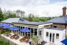


Nearby places to stay
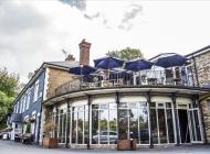
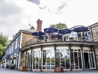
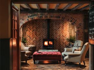
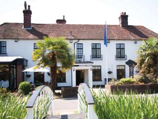
Harper's Haslemere
Harper's Haslemere is part of a small family of laid-back steak houses, fired up by the big, juicy stateside flavours from the best of east to west coast dining; from comforting to mind...
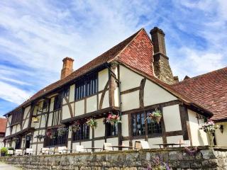
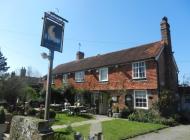
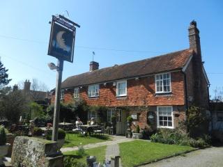
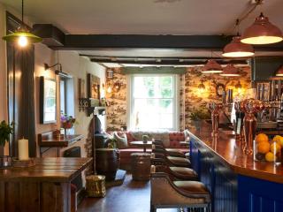
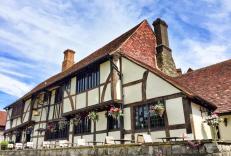
The Crown Inn Chiddingfold
Set in a tranquil location in a picturesque village, The Crown Inn Chiddingfold dates back to the early 13th century. This charming property offers stylish, modern accommodation that ha...
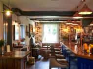
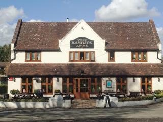
Hamilton Arms
The Hamilton Arms Suites is a large characterful country pub, with Niva Thai, a popular Thai restaurant, and modern spacious rooms, in the picturesque village of Stedham. The bedrooms a...
The Welldiggers Arms
Situated just outside the historic town of Petworth, The Welldiggers Arms benefits from outstanding views of the South Downs and a quiet location. All bedrooms are stylishly decorated w...
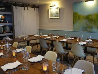
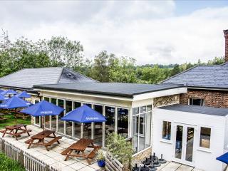
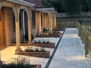
Long Meadow
The light and airy interior at Long Meadow perfectly complement the wide views over the Sussex countryside. There’s a sunny terrace and outside seating to make the most of these views o...
Long Meadow Cottage
The light and airy interior at Long Meadow perfectly complements the wide views over the Sussex countryside. There’s a sunny terrace and outside seating to make the most of these views ...
Frensham Pond Country House Hotel & Spa
Situated in an Area of Outstanding Natural Beauty, overlooking Frensham Great Pond this is a walker’s and water-lover’s paradise close to footpaths that run through the 1,000-acre Natio...
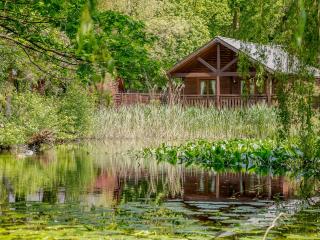
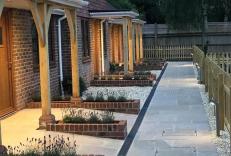
Tilford Woods Lodge Retreat
Retreat to the woods when you stay in one of the log cabin style lodges at Tilford Woods. All accommodation features full self-catering facilities, with top of the range log cabins even...
Places to eat nearby View all