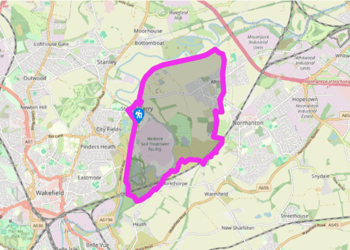
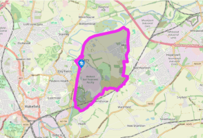
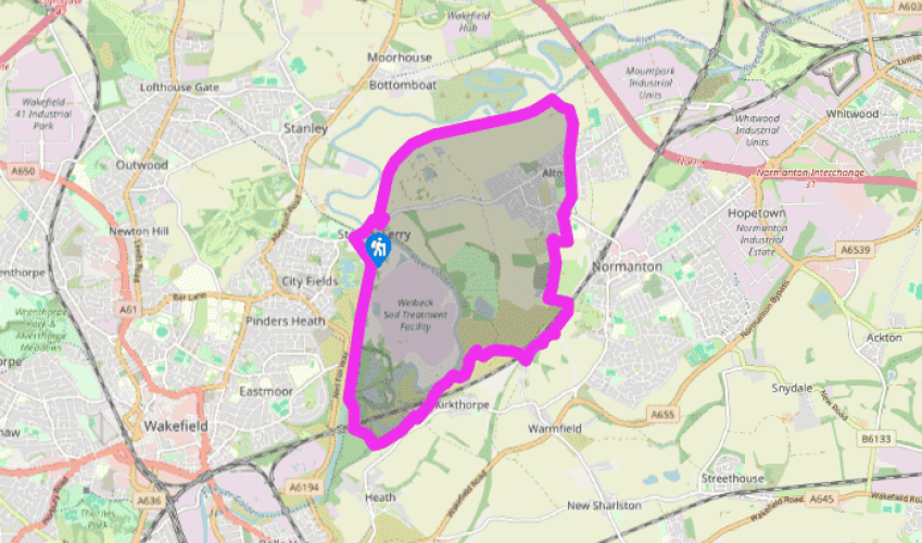
Stanley Ferry and its waterways
Park at the Stanley Ferry Marina. Turn right along the road, which crosses first the River Calder, then the canal. Take a few steps to the right, immediately after the canal, to follow the tow path to the right, back under the road bridge. Walk beneath another bridge just before Birkwood Locks; from here the tow path is metalled. Beyond King’s Road Lock you come to a canal bridge and a lane to the right.
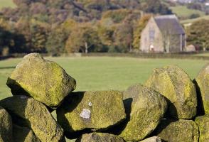
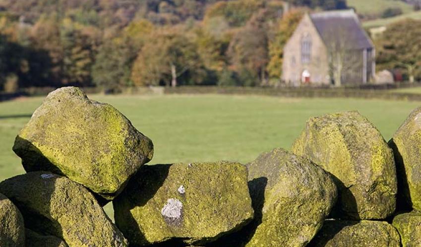
Follow the lane right for 0.5 miles (800m) to the main road at Altofts opposite St Mary’s Church. Go right and left into The Crescent. After 50yds (46m), at the junction with Priory Close, take an alley between the houses opposite. At the end, bear right across a playing field and follow a street out to a junction. Take the street diagonally opposite beside a chemist, leaving left after only a few yards down another passage between house backs. Keep ahead beyond its end to emerge into a field.
Go right to the corner and swing left opposite a cul-de-sac through a kissing gate onto a path between the fields. Beyond a stream, continue beside another field and keep ahead over a rise to meet a rough track. Follow it forward and then left across a railway line. Immediately after the bridge, turn right onto a grass path, passing beneath an electricity pylon. Over an access road, carry on to pick up a developing path that winds into trees. Passing the reed-filled Goosehill Pond, fork up right to emerge onto a drive. Turn right, walking through gateposts at Goosehill Cattery to cross a couple of railway bridges.
Keep ahead along a broad gravel track, signed ‘Pennine Trail’, which leads across the landscaped slopes of former spoil heaps. When the track later fragments by a gate, bear left, then later on fork right, the onward path contouring the scrubby hillside and eventually reaching a junction overlooking the River Calder. Swing left, dropping to a small stone bridge across a stream. Carry on, going left again on a track that then leads beneath a railway bridge. Soon passing through a gate, carry on behind houses and past the church, forking right to emerge onto the lane at Kirkthorpe.
Turn right, but then after 50yds (46m), go left on a track that soon narrows to a woodland path. Remain with the main path above Half Moon Pond to a fork by an information board. Bear right through a gate (signed ‘Stanley Ferry’), negotiating a wooded dip to gain the top of an embankment. Go right, walking for 0.25 miles (400m) before dropping right to pass beneath the railway again. A good track leads to the Blue Bridge, which spans the River Calder beside a lock that begins the Aire and Calder Navigation.
Walk on to a junction by a canal bridge and fork down left to follow the tow path away to the north. At the next bridge, the track above leads into the Southern Washland Nature Reserve, an area of reclaimed gravel pits noted for it’s wonderful pink orchids, dragonflies and birds. Continue beside the canal to Ramsdens Bridge, crossing to return past The Stanley Ferry pub to the car park.
Been on this walk?
Send us photos or a comment about this route. Or recommend a route of your own.
Walking in Safety
Read our tips to look after yourself and the environment when following this walk.
Get an AA guide
Explore our range of ‘50 Walks in’ guides - they’re the ideal companion for a ramble.
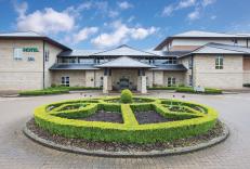
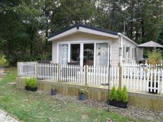
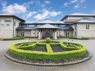
Nearby places to stay
View all (8)
- Family rooms: 13
- WiFi available
- Lift available
- En-suite rooms:
- Family rooms:


