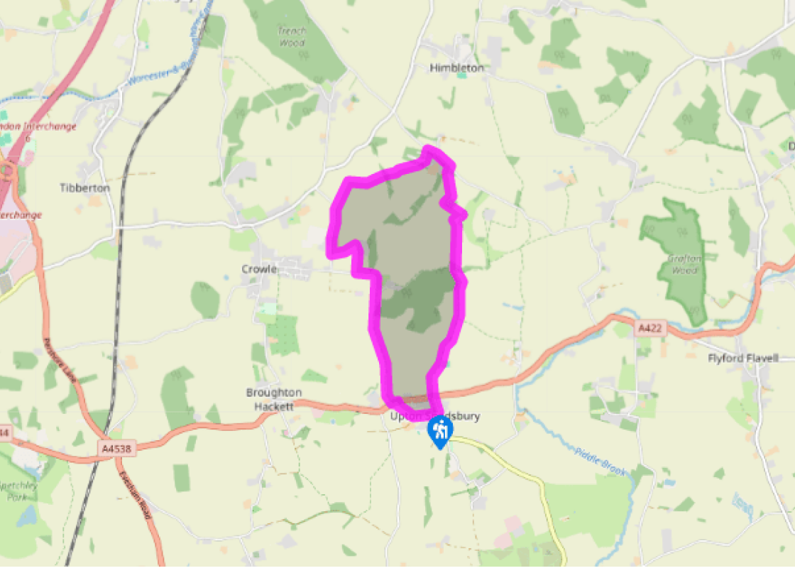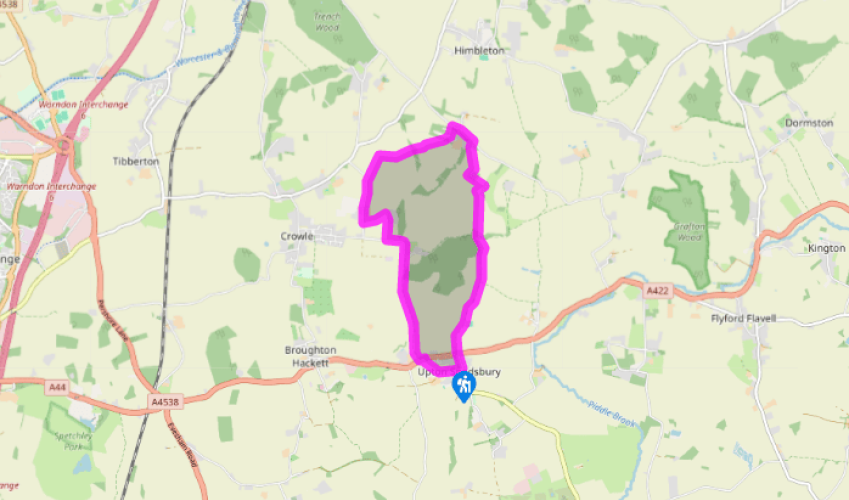
Around Upton Snodsbury and Huddington
Begin on Church Lane, south of St Kenelm’s Church (1874). Go west, past the school then between some bungalows and a private car park. Go diagonally right, through two kissing gates, then cross a field to the left of power lines, down to conifers fringing the car park of The Oak on the A422. Cross over. Turn left, then right after 50yds (46m) into Bow Wood Lane. In 100yds (91m) go ahead. Walk through a long field, scarcely gaining any height. Eventually leave by a pair of narrow metal gates, crossing another field to a further metal gate beyond.
Join a driveway. When 90yds (82m) beyond Bow Brook’s bridge go half right, reaching a metal kissing gate beside the drive to Manor House. Despite a waymarker pointing to a stile close to Manor House, aim one pylon right of a rusty windmill to another metal kissing gate. Turn half left to a gate in trees. Turn right on this minor road for 650yds (594m). Now follow a right-hand fieldedge (fingerpost). Just before the field corner go through a gate on the right, continue with the hedge now on your left. At the next corner go through a gate and turn right. At an opening into a big field aim 10yds (9m) left of a two-poled power pylon ahead. In and out of woodland, take the right-hand field-edge. At the bend cross a double stile and three-planked bridge. Go diagonally, to a waymarked stile 40yds (37m) before a metal gate. Emerge beside a blackand-white house and a greenhouse through two garden gates, opposite Huddington Court.

Been on this walk?
Send us photos or a comment about this route. Or recommend a route of your own.

Walking in Safety
Read our tips to look after yourself and the environment when following this walk.

Get an AA guide
Explore our range of ‘50 Walks in’ guides - they’re the ideal companion for a ramble.
Been on this walk?
Send us photos or a comment about this route. Or recommend a route of your own.
Walking in Safety
Read our tips to look after yourself and the environment when following this walk.
Get an AA guide
Explore our range of ‘50 Walks in’ guides - they’re the ideal companion for a ramble.

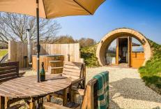
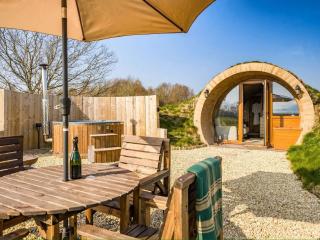
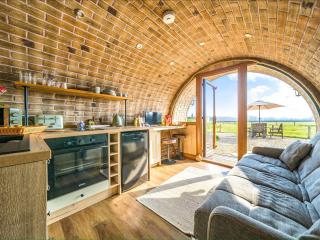
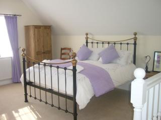
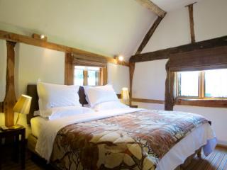
Nearby places to stay
View all (8)