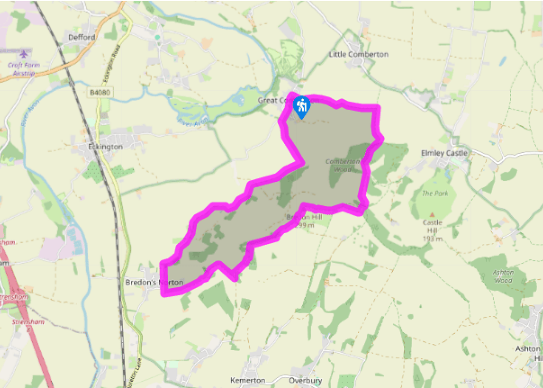
Additional information
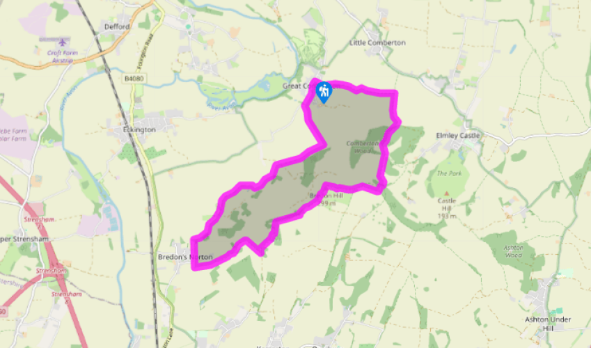
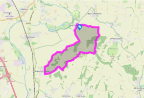
Terrain
- Tracks, woodland paths, bridleways, minor lanes, many stiles
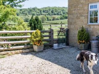
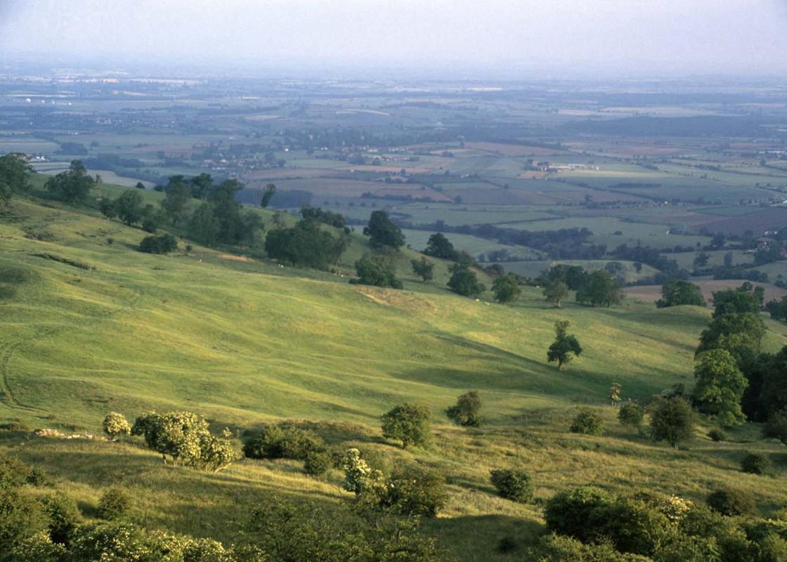
Landscape
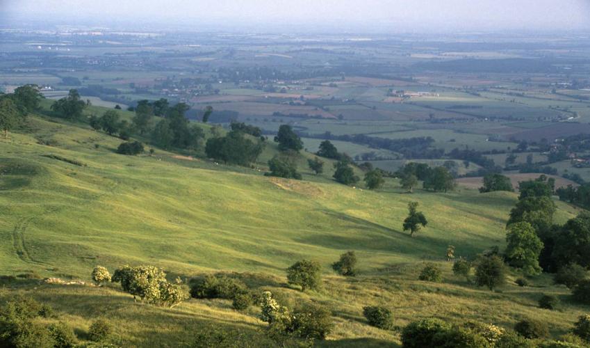
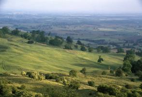
- Farmland, woodland, panoramic views into Wales
Dog friendliness
- Close control needed – cows, horses and lots of sheep
Parking
- Roadside parking, Great Comberton village
Toilets en route
- None on route
About the walk
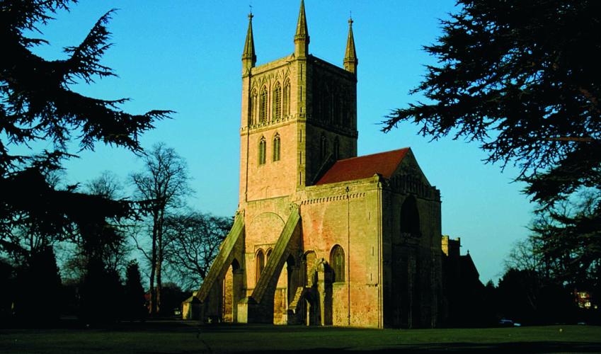
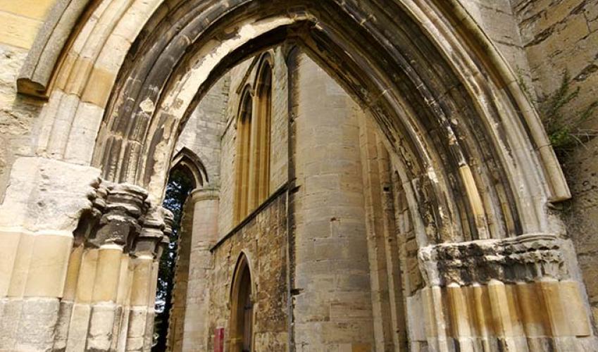
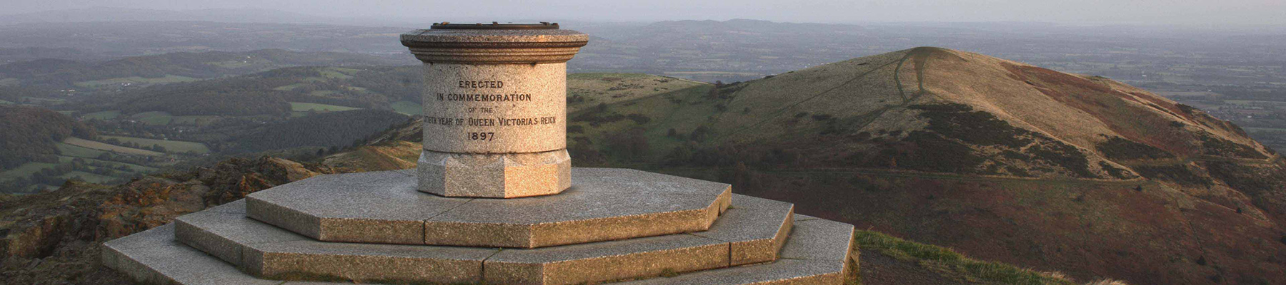
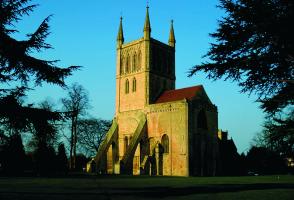
Bredon Hill is a solitary outcrop of hard, yellowish limestone. The fort on its plateau summit enclosed 22 acres (8.9ha). Today the hill is one of English Nature’s National Nature Reserves. As the name Pershore – ‘Pearshore’ – suggests, the area around nearby Pershore has long been synonymous with... pears, and plums too. Although perry remains a popular drink, with some manufacturers of perry apparently planting new orchards, many traditional pear orchards have, like apple orchards, been wiped off the map, either for more lucrative forms of agricultural activity, or for house building. An interesting legacy is the presence of pear trees in local hedgerows. The pear’s gene pool is being maintained by a national collection. As many as 120 varieties of perry pear have been recorded; about half of these have been traced in recent years. Specimens have been planted at the Three Counties Showground, near Malvern. In addition, the Worcestershire County Council’s Countryside Greenspace Team runs a fruit-tree scheme, like its counterpart in Herefordshire. Pear, along with other fruit trees such as cherry, apple and plum, is a popular wood for turning; also, the fine grain of pear wood makes it suitable for engraving when the favoured box wood is not available. In Worcester, look out for the city’s coat of arms – it bears three black pears. The story goes that when Queen Elizabeth I visited Worcester, the city’s 16th-century events manager arranged for a Worcester Black Pear tree to be placed along her route; this pleased Her Majesty, who pronounced that the city’s coat of arms ought to display these splendid fruits. Doubtless she didn’t actually taste one for the fruit is too tough to eat uncooked; it needs to be served in a pudding such as a crumble, or preserved in syrup. (The name is also inaccurate – the fruits are no more black than white grapes are white.) Nevertheless, to encourage some sense of heritage among its children, Worcestershire City Council has provided every one of the city’s schools with a Worcester Black Pear tree. On the top of Bredon Hill is Parson’s Folly. Named after Mr Parson, a resident of nearby Kemerton, it stands on the perimeter earthwork of Kemerton Camp, an Iron Age hill fort. The name of the village of Elmley Castle dates from the 11th century, when Robert le Despenser built a castle on an eastern outlier of Bredon Hill. It was later part of the estate of the Beauchamp family. The castle was again fortified in the 14th century, after interim decay. It is said that stones from this castle were used to build the old Pershore Bridge, adjacent to the present-day A44 road bridge. Today there is precious little to see of the castle itself (on private land).
Read more